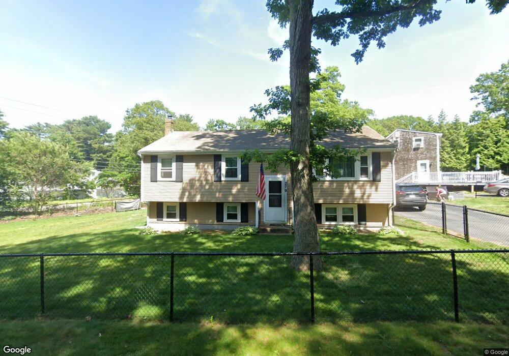
279 Bartlett Rd Plymouth, MA 02360
Estimated Value: $440,000 - $583,000
3
Beds
1
Bath
1,424
Sq Ft
$367/Sq Ft
Est. Value
About This Home
This home is located at 279 Bartlett Rd, Plymouth, MA 02360 and is currently estimated at $522,509, approximately $366 per square foot. 279 Bartlett Rd is a home located in Plymouth County with nearby schools including Manomet Elementary School, Plymouth Community Intermediate, and Plymouth North High School.
Ownership History
Date
Name
Owned For
Owner Type
Purchase Details
Closed on
Apr 19, 2006
Sold by
Bruce Denise
Bought by
Barclay Fatina N
Current Estimated Value
Purchase Details
Closed on
Jun 15, 2001
Sold by
Robinson Laura M and Odom Inez M
Bought by
Gregorio David M and Gregorio Christine M
Create a Home Valuation Report for This Property
The Home Valuation Report is an in-depth analysis detailing your home's value as well as a comparison with similar homes in the area
Home Values in the Area
Average Home Value in this Area
Purchase History
| Date | Buyer | Sale Price | Title Company |
|---|---|---|---|
| Barclay Fatina N | -- | -- | |
| Gregorio David M | $195,000 | -- |
Source: Public Records
Mortgage History
| Date | Status | Borrower | Loan Amount |
|---|---|---|---|
| Open | Gregorio David M | $180,000 | |
| Closed | Gregorio David M | $72,000 | |
| Previous Owner | Gregorio David M | $187,000 |
Source: Public Records
Tax History Compared to Growth
Tax History
| Year | Tax Paid | Tax Assessment Tax Assessment Total Assessment is a certain percentage of the fair market value that is determined by local assessors to be the total taxable value of land and additions on the property. | Land | Improvement |
|---|---|---|---|---|
| 2025 | $5,039 | $397,100 | $194,500 | $202,600 |
| 2024 | $4,719 | $366,700 | $177,100 | $189,600 |
| 2023 | $4,530 | $330,400 | $160,600 | $169,800 |
| 2022 | $4,502 | $291,800 | $151,400 | $140,400 |
| 2021 | $4,373 | $270,600 | $151,400 | $119,200 |
| 2020 | $4,158 | $254,300 | $137,600 | $116,700 |
| 2019 | $4,026 | $243,400 | $128,500 | $114,900 |
| 2018 | $3,824 | $232,300 | $119,300 | $113,000 |
| 2017 | $3,689 | $222,500 | $119,300 | $103,200 |
| 2016 | $3,470 | $213,300 | $110,100 | $103,200 |
| 2015 | $3,243 | $208,700 | $105,500 | $103,200 |
| 2014 | $3,093 | $204,400 | $105,500 | $98,900 |
Source: Public Records
Map
Nearby Homes
- 881 State Rd
- 3 Hiawatha Rd
- 61 Crescent Ave
- 11 April Way
- 32 Ray Rd
- 115 Andrews Way
- 84 Bartlett Rd
- 39 Miter Dr Unit 8-1
- 24 Drum Dr Unit 24
- 91 Miter Dr Unit 18-1
- The Hickory Plan at Alden's Reach - Attached & Detached Single Family Homes
- 91 Miter Dr Unit 3-2
- The Spruce Plan at Alden's Reach - Attached & Detached Single Family Homes
- The Pine Plan at Alden's Reach - Attached & Detached Single Family Homes
- 91 Miter Dr Unit 25-2
- 91 Miter Dr Unit 18-2
- 91 Miter Dr Unit 16-3
- The Oak Plan at Alden's Reach - Attached & Detached Single Family Homes
- 91 Miter Dr Unit 16-1
- 90 Miter Dr Unit 1-3