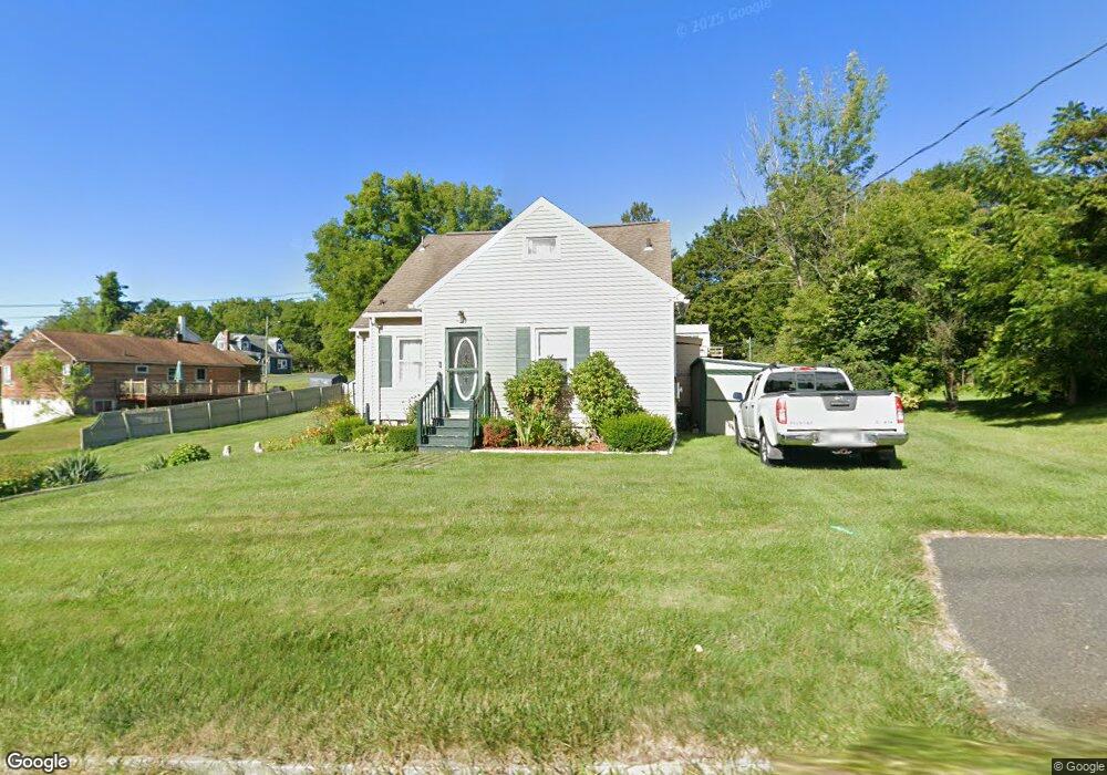
279 Benedict Rd Pittsfield, MA 01201
Estimated Value: $257,000 - $317,000
2
Beds
1
Bath
1,676
Sq Ft
$175/Sq Ft
Est. Value
About This Home
This home is located at 279 Benedict Rd, Pittsfield, MA 01201 and is currently estimated at $292,822, approximately $174 per square foot. 279 Benedict Rd is a home located in Berkshire County with nearby schools including Allendale Elementary School, Theodore Herberg Middle School, and Pittsfield High School.
Ownership History
Date
Name
Owned For
Owner Type
Purchase Details
Closed on
Oct 6, 2004
Sold by
Black Melody A and Mills Melody A
Bought by
Black Melody A and Black Lionel E
Current Estimated Value
Home Financials for this Owner
Home Financials are based on the most recent Mortgage that was taken out on this home.
Original Mortgage
$89,000
Interest Rate
5.84%
Mortgage Type
Purchase Money Mortgage
Purchase Details
Closed on
Jan 12, 1996
Sold by
Ferguson James T
Bought by
Mills Melody A
Create a Home Valuation Report for This Property
The Home Valuation Report is an in-depth analysis detailing your home's value as well as a comparison with similar homes in the area
Home Values in the Area
Average Home Value in this Area
Purchase History
| Date | Buyer | Sale Price | Title Company |
|---|---|---|---|
| Black Melody A | -- | -- | |
| Black Melody A | -- | -- | |
| Black Melody A | -- | -- | |
| Mills Melody A | $85,000 | -- | |
| Mills Melody A | $85,000 | -- |
Source: Public Records
Mortgage History
| Date | Status | Borrower | Loan Amount |
|---|---|---|---|
| Open | Mills Melody A | $75,000 | |
| Closed | Black Melody A | $89,000 | |
| Previous Owner | Mills Melody A | $26,000 |
Source: Public Records
Tax History Compared to Growth
Tax History
| Year | Tax Paid | Tax Assessment Tax Assessment Total Assessment is a certain percentage of the fair market value that is determined by local assessors to be the total taxable value of land and additions on the property. | Land | Improvement |
|---|---|---|---|---|
| 2025 | $4,688 | $261,300 | $72,000 | $189,300 |
| 2024 | $4,303 | $233,200 | $72,000 | $161,200 |
| 2023 | $4,056 | $221,400 | $72,000 | $149,400 |
| 2022 | $3,654 | $196,900 | $67,000 | $129,900 |
| 2021 | $3,178 | $165,100 | $67,000 | $98,100 |
| 2020 | $2,966 | $150,500 | $54,000 | $96,500 |
| 2019 | $2,816 | $145,000 | $50,000 | $95,000 |
| 2018 | $2,865 | $143,200 | $50,000 | $93,200 |
| 2017 | $2,784 | $141,800 | $52,000 | $89,800 |
| 2016 | $2,484 | $132,400 | $40,000 | $92,400 |
| 2015 | $2,391 | $132,400 | $40,000 | $92,400 |
Source: Public Records
Map
Nearby Homes
- 40 Roland St
- 11 Stanley Ave
- 41 Perrine Ave
- 81 Dartmouth St Unit 205
- 81 Dartmouth St Unit 102
- 156 Draper Ave
- 46 Bossidy Dr
- 52 Bossidy Dr
- 326 Dalton Ave
- LOT 20 Plunkett St
- 38 Allengate Ave
- 25 Kensington Ave
- 24 Glenwood Ave
- 52 Brown St
- 48 Brown St
- 29 Glenwood Ave
- 330 Connecticut Ave
- 26 Springside Ave
- 14 Allessio St
- 9 Myrtle St
- 155 Broadview Terrace
- 147 Broadview Terrace
- 287 Benedict Rd
- 272 Benedict Rd
- 137 Broadview Terrace
- 305 Benedict Rd
- 288 Benedict Rd
- 148 Broadview Terrace
- 257 Benedict Rd
- 140 Broadview Terrace
- 321 Benedict Rd
- 298 Benedict Rd Unit 1
- 298 Benedict Rd
- 252 Benedict Rd
- 123 Broadview Terrace
- 10 Tanner St
- 304 Benedict Rd
- 249 Benedict Rd
- 306 Benedict Rd
- 290 Benedict Rd