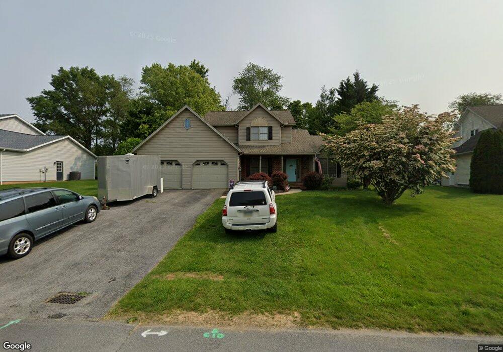
279 Carmack Dr Chambersburg, PA 17202
Estimated Value: $106,496 - $384,000
--
Bed
1
Bath
2,077
Sq Ft
$143/Sq Ft
Est. Value
About This Home
This home is located at 279 Carmack Dr, Chambersburg, PA 17202 and is currently estimated at $297,124, approximately $143 per square foot. 279 Carmack Dr is a home located in Franklin County with nearby schools including Chambersburg Area Middle School - North, Chambersburg Area Senior High School, and Montessori Academy of Chambersburg.
Ownership History
Date
Name
Owned For
Owner Type
Purchase Details
Closed on
Feb 9, 2024
Sold by
Neff Kevin and Neff Donna L
Bought by
Neff Ryan K and Neff Shanna M
Current Estimated Value
Home Financials for this Owner
Home Financials are based on the most recent Mortgage that was taken out on this home.
Original Mortgage
$225,000
Outstanding Balance
$140,971
Interest Rate
6.61%
Mortgage Type
Seller Take Back
Estimated Equity
$156,153
Create a Home Valuation Report for This Property
The Home Valuation Report is an in-depth analysis detailing your home's value as well as a comparison with similar homes in the area
Home Values in the Area
Average Home Value in this Area
Purchase History
| Date | Buyer | Sale Price | Title Company |
|---|---|---|---|
| Neff Ryan K | $225,000 | Pa Real Estate Settlement Serv |
Source: Public Records
Mortgage History
| Date | Status | Borrower | Loan Amount |
|---|---|---|---|
| Open | Neff Ryan K | $225,000 |
Source: Public Records
Tax History Compared to Growth
Tax History
| Year | Tax Paid | Tax Assessment Tax Assessment Total Assessment is a certain percentage of the fair market value that is determined by local assessors to be the total taxable value of land and additions on the property. | Land | Improvement |
|---|---|---|---|---|
| 2025 | $4,378 | $26,880 | $2,350 | $24,530 |
| 2024 | $4,242 | $26,880 | $2,350 | $24,530 |
| 2023 | $4,110 | $26,880 | $2,350 | $24,530 |
| 2022 | $4,014 | $26,880 | $2,350 | $24,530 |
| 2021 | $4,014 | $26,880 | $2,350 | $24,530 |
| 2020 | $3,909 | $26,880 | $2,350 | $24,530 |
| 2019 | $3,758 | $26,880 | $2,350 | $24,530 |
| 2018 | $3,618 | $26,880 | $2,350 | $24,530 |
| 2017 | $3,495 | $26,880 | $2,350 | $24,530 |
| 2016 | $758 | $26,450 | $2,350 | $24,100 |
| 2015 | $706 | $26,450 | $2,350 | $24,100 |
| 2014 | $706 | $26,450 | $2,350 | $24,100 |
Source: Public Records
Map
Nearby Homes
- 347 Leedy Way E
- 248 Kolpark Dr
- 326 Leedy Way E
- 290 Leedy Way W
- 162 Harvest Ln
- 1901 Lincoln Way E
- 182 Highland Rd
- 107 Overhill Dr
- 170 Guilford Dr
- 0 Vernon Dr Unit PAFL2029168
- 775 Alandale Dr
- 470 Overhill Dr
- 586 Crestwood Dr
- 2027 Lincoln Way E
- .39+- ACRES Crestwood Dr
- .41+- ACRES Crestwood Dr
- .34+- ACRES Crestwood Dr
- 1577 Marilyn Ct
- 1090 Ragged Edge Rd
- 197 Echo Dr
- 285 Carmack Dr
- 273 Carmack Dr
- 291 Carmack Dr
- 284 Arbutus Dr
- 291 Arbutus Dr
- 267 Carmack Dr
- 365 Leedy Way E
- 275 Arbutus Dr
- 359 Leedy Way E
- 251 Carmack Dr
- 260 Arbutus Dr
- 377 Leedy Way E
- 259 Arbutus Dr
- 353 Leedy Way E
- 385 Leedy Way E
- 245 Carmack Dr
- 244 Arbutus Dr
- 393 Leedy Way E
- 241 Highland Cir
- 241 Arbutus Dr