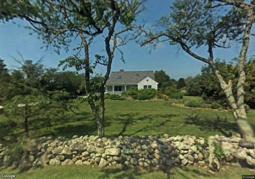
279 Division Rd Westport, MA 02790
South Westport NeighborhoodEstimated Value: $738,000 - $1,357,000
3
Beds
1
Bath
2,247
Sq Ft
$423/Sq Ft
Est. Value
About This Home
This home is located at 279 Division Rd, Westport, MA 02790 and is currently estimated at $950,530, approximately $423 per square foot. 279 Division Rd is a home located in Bristol County with nearby schools including Alice A. Macomber Primary School, Westport Elementary School, and Westport Middle-High School.
Ownership History
Date
Name
Owned For
Owner Type
Purchase Details
Closed on
Dec 9, 2024
Sold by
Pacheco Charles and Pacheco Linda A
Bought by
Pacheco
Current Estimated Value
Purchase Details
Closed on
Sep 6, 1985
Bought by
Pacheco Charles and Pacheco Linda
Create a Home Valuation Report for This Property
The Home Valuation Report is an in-depth analysis detailing your home's value as well as a comparison with similar homes in the area
Home Values in the Area
Average Home Value in this Area
Purchase History
| Date | Buyer | Sale Price | Title Company |
|---|---|---|---|
| Pacheco | -- | None Available | |
| Pacheco | -- | None Available | |
| Pacheco Charles | -- | -- |
Source: Public Records
Mortgage History
| Date | Status | Borrower | Loan Amount |
|---|---|---|---|
| Previous Owner | Pacheco Charles | $58,000 |
Source: Public Records
Tax History
| Year | Tax Paid | Tax Assessment Tax Assessment Total Assessment is a certain percentage of the fair market value that is determined by local assessors to be the total taxable value of land and additions on the property. | Land | Improvement |
|---|---|---|---|---|
| 2025 | $5,593 | $750,700 | $230,400 | $520,300 |
| 2024 | $5,600 | $724,400 | $214,300 | $510,100 |
| 2023 | $5,143 | $630,300 | $160,800 | $469,500 |
| 2022 | $4,354 | $513,500 | $160,800 | $352,700 |
| 2021 | $4,308 | $499,800 | $147,100 | $352,700 |
| 2020 | $4,167 | $494,300 | $141,600 | $352,700 |
| 2019 | $4,086 | $494,100 | $141,600 | $352,500 |
| 2018 | $3,185 | $420,600 | $139,000 | $281,600 |
| 2017 | $3,301 | $414,200 | $141,500 | $272,700 |
| 2016 | $3,196 | $404,000 | $146,500 | $257,500 |
| 2015 | $3,102 | $391,200 | $149,000 | $242,200 |
Source: Public Records
Map
Nearby Homes
- 332 Division Rd
- 2 Slades Farm Ln
- Lot 2E Horseneck Rd
- 1150 Russells Mills Rd
- 920 Drift Rd
- 1371 Drift Rd
- 41 Riverview Dr
- Lot 2 Horseneck Rd
- 248 Bakerville Rd
- 1702 Drift Rd
- Lot 1 Rafael Rd
- 1702J Drift Rd
- 2 Olin Howland Way
- 837 Main Road & Lot 2
- 0 Hidden Glen Ln
- 640 Main Rd
- 31 Brookwood Dr
- 8 Village Way
- 1 Masthead Ln
- 101 Adamsville Rd
- 274 Division Rd
- 275 Division Rd
- 276 Division Rd
- 259 Division Rd
- 315 Division Rd
- 241 Division Rd
- 300 Division Rd
- 358 Slades Corner Rd
- 383 Slades Corner Rd
- 331 Division Rd
- 363 Slades Corner Rd
- 2 Windy Hill Ln
- 4 Windy Hill Ln
- 354 Division Rd
- 209 Division Rd
- 6 Slades Farm Ln
- 355 Division Rd
- 3 Slades Farm Ln
- 10 Slades Farm Ln
- 14 Slades Farm Ln