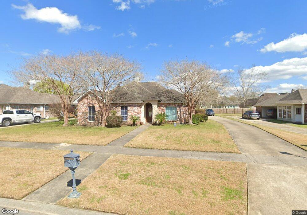
279 Donovan Ct Baton Rouge, LA 70815
Broadmoor/Sherwood NeighborhoodEstimated Value: $214,000 - $244,000
3
Beds
2
Baths
1,910
Sq Ft
$121/Sq Ft
Est. Value
About This Home
This home is located at 279 Donovan Ct, Baton Rouge, LA 70815 and is currently estimated at $231,650, approximately $121 per square foot. 279 Donovan Ct is a home located in East Baton Rouge Parish with nearby schools including Twin Oaks Elementary School, Southeast Middle School, and Broadmoor Senior High School.
Ownership History
Date
Name
Owned For
Owner Type
Purchase Details
Closed on
Nov 25, 2008
Sold by
King Jodi A
Bought by
Jones Beverly S
Current Estimated Value
Home Financials for this Owner
Home Financials are based on the most recent Mortgage that was taken out on this home.
Original Mortgage
$169,266
Outstanding Balance
$107,755
Interest Rate
5.98%
Mortgage Type
FHA
Estimated Equity
$123,895
Purchase Details
Closed on
Sep 26, 2000
Sold by
Alello Alello Oscar Anthony
Bought by
The Oscar A & Theresa R Alello Revocable
Create a Home Valuation Report for This Property
The Home Valuation Report is an in-depth analysis detailing your home's value as well as a comparison with similar homes in the area
Home Values in the Area
Average Home Value in this Area
Purchase History
We collect this data history from publicly available records. To have your information removed, we recommend requesting removal directly through your county’s website.
| Date | Buyer | Sale Price | Title Company |
|---|---|---|---|
| Jones Beverly S | $171,500 | -- | |
| The Oscar A & Theresa R Alello Revocable | -- | -- |
Source: Public Records
Mortgage History
We collect this data history from publicly available records. To have your information removed, we recommend requesting removal directly through your county’s website.
| Date | Status | Borrower | Loan Amount |
|---|---|---|---|
| Open | Jones Beverly S | $169,266 |
Source: Public Records
Tax History
| Year | Tax Paid | Tax Assessment Tax Assessment Total Assessment is a certain percentage of the fair market value that is determined by local assessors to be the total taxable value of land and additions on the property. | Land | Improvement |
|---|---|---|---|---|
| 2025 | $2,370 | $18,720 | $3,000 | $15,720 |
| 2024 | $2,370 | $18,720 | $3,000 | $15,720 |
| 2023 | $2,268 | $17,150 | $3,000 | $14,150 |
| 2022 | $2,123 | $17,150 | $3,000 | $14,150 |
| 2021 | $2,076 | $17,150 | $3,000 | $14,150 |
| 2020 | $2,101 | $17,150 | $3,000 | $14,150 |
| 2019 | $2,193 | $17,150 | $3,000 | $14,150 |
| 2018 | $2,168 | $17,150 | $3,000 | $14,150 |
| 2017 | $2,168 | $17,150 | $3,000 | $14,150 |
| 2016 | $731 | $12,198 | $3,000 | $9,198 |
| 2015 | $1,324 | $17,150 | $3,000 | $14,150 |
| 2014 | $1,320 | $17,150 | $3,000 | $14,150 |
| 2013 | -- | $17,150 | $3,000 | $14,150 |
Source: Public Records
Map
Nearby Homes
- 285 Kirkley Place E
- 522 S Flannery Rd Unit A
- 540 S Flannery Rd Unit A
- 548 S Flannery Rd Unit A
- 13212 Avants Ave
- 440 Chesterfield Dr
- 13343 E Parnell Ave
- 536 Fall River Dr
- 223 Rushmore Dr
- 514 Oakford Dr
- 815/819 Holt Dr
- 1435 Duchess Dr
- 14101 Florida Blvd
- 633 Woodcliff Dr
- 12486 Lockhaven Ave
- 765 Brinwood Ave
- 444 S Locksley Dr
- 1466 Harco Dr
- 381 Shadydale Dr
- 13842 Goodwood Dr
Your Personal Tour Guide
Ask me questions while you tour the home.