Estimated Value: $77,053 - $236,000
--
Bed
--
Bath
1,851
Sq Ft
$84/Sq Ft
Est. Value
About This Home
This home is located at 279 Duncan Ln, Brent, AL 35034 and is currently estimated at $155,513, approximately $84 per square foot. 279 Duncan Ln is a home.
Ownership History
Date
Name
Owned For
Owner Type
Purchase Details
Closed on
Jun 19, 2020
Sold by
Boothe Jerry and Boothe Dorene
Bought by
Boothe Jerry and Boothe Dorene
Current Estimated Value
Home Financials for this Owner
Home Financials are based on the most recent Mortgage that was taken out on this home.
Original Mortgage
$56,250
Outstanding Balance
$39,543
Interest Rate
3.2%
Mortgage Type
New Conventional
Estimated Equity
$115,970
Purchase Details
Closed on
Jan 21, 2009
Sold by
Wheeler Pamela A Rominger
Bought by
Boothe Jerry
Purchase Details
Closed on
Jun 18, 2007
Sold by
Rominger James R
Bought by
Boothe Jerry
Create a Home Valuation Report for This Property
The Home Valuation Report is an in-depth analysis detailing your home's value as well as a comparison with similar homes in the area
Home Values in the Area
Average Home Value in this Area
Purchase History
| Date | Buyer | Sale Price | Title Company |
|---|---|---|---|
| Boothe Jerry | -- | None Available | |
| Boothe Jerry | -- | -- | |
| Boothe Jerry | -- | -- |
Source: Public Records
Mortgage History
| Date | Status | Borrower | Loan Amount |
|---|---|---|---|
| Open | Boothe Jerry | $56,250 |
Source: Public Records
Tax History Compared to Growth
Tax History
| Year | Tax Paid | Tax Assessment Tax Assessment Total Assessment is a certain percentage of the fair market value that is determined by local assessors to be the total taxable value of land and additions on the property. | Land | Improvement |
|---|---|---|---|---|
| 2024 | $92 | $3,420 | $620 | $2,800 |
| 2023 | $92 | $3,420 | $620 | $2,800 |
| 2022 | $29 | $2,900 | $620 | $2,280 |
| 2021 | $29 | $2,900 | $620 | $2,280 |
| 2020 | $29 | $2,900 | $620 | $2,280 |
| 2019 | $29 | $2,900 | $620 | $2,280 |
| 2018 | $26 | $2,740 | $660 | $2,080 |
| 2017 | $74 | $2,740 | $660 | $2,080 |
| 2016 | $75 | $2,780 | $660 | $2,120 |
| 2015 | $75 | $2,780 | $660 | $2,120 |
| 2014 | $74 | $2,050 | $640 | $2,050 |
| 2013 | $74 | $0 | $0 | $0 |
Source: Public Records
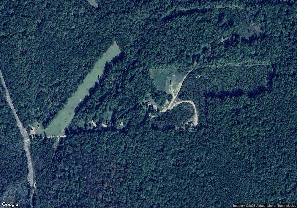
Map
Nearby Homes
- 0 County Road 1 Unit 11582240
- Bibb County 1
- 0 Ward School Rd Unit 4 21420318
- 0 Ward School Rd Unit 3 21420315
- 0 Ward School Rd Unit 2 21420308
- 0 Ward School Rd Unit 1 21420303
- Bibb County 16
- TBD Little Hope Rd
- 0 Highway 82 Unit 168771
- 0 Highway 82 Unit 1 21409554
- 0 Highway 82 Unit 1 21385129
- 940 Murphy Rd
- 15806 Highway 82 E Unit 1
- 2178 Ingate Pass
- 25 Pleasant Hill Dr
- 346 Mcmillan St
- 2928 University Way
- 3564 Payne Lake Rd
- 11810 Bibb County 9
- 11840 N Scottsville Rd
- 7 Duncan Ln
- 15464 Hagler Coaling Rd
- 260 W Eoline Rd
- 7745 Bear Creek Rd
- 493 Ward School Rd
- 561 Ward School Rd
- 60 Sugar Hill Rd
- 531 Ward School Rd
- 535 Ward School Rd
- 0 Ward School Rd Unit 22170529
- 0 Ward School Rd Unit 137453
- 394 Ward School Rd
- 160 Barney Rd
- 2511 Murphy Rd
- 738 Ward School Rd
- 746 Ward School Rd
- 934 Ward School Rd
- 1170 W Eoline Rd
- 000 Highway 16