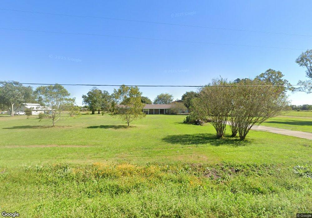
279 Highway 652 Raceland, LA 70394
Estimated Value: $215,000 - $281,031
4
Beds
3
Baths
2,767
Sq Ft
$89/Sq Ft
Est. Value
About This Home
This home is located at 279 Highway 652, Raceland, LA 70394 and is currently estimated at $247,508, approximately $89 per square foot. 279 Highway 652 is a home located in Lafourche Parish with nearby schools including Raceland Lower Elementary School, Raceland Upper Elementary School, and Raceland Middle School.
Ownership History
Date
Name
Owned For
Owner Type
Purchase Details
Closed on
Jul 16, 2014
Sold by
Federal Home Loan Mortgage Corporation
Bought by
Rock David and Rock Alishia
Current Estimated Value
Home Financials for this Owner
Home Financials are based on the most recent Mortgage that was taken out on this home.
Original Mortgage
$225,669
Interest Rate
4.37%
Mortgage Type
FHA
Purchase Details
Closed on
Oct 30, 2013
Sold by
Guidry Michael Joseph and Guidry Monica Melancon
Bought by
Provident Funding Associates Lp
Create a Home Valuation Report for This Property
The Home Valuation Report is an in-depth analysis detailing your home's value as well as a comparison with similar homes in the area
Home Values in the Area
Average Home Value in this Area
Purchase History
| Date | Buyer | Sale Price | Title Company |
|---|---|---|---|
| Rock David | $142,000 | Servicelink | |
| Provident Funding Associates Lp | $166,000 | None Available |
Source: Public Records
Mortgage History
| Date | Status | Borrower | Loan Amount |
|---|---|---|---|
| Previous Owner | Rock David | $225,669 |
Source: Public Records
Tax History Compared to Growth
Tax History
| Year | Tax Paid | Tax Assessment Tax Assessment Total Assessment is a certain percentage of the fair market value that is determined by local assessors to be the total taxable value of land and additions on the property. | Land | Improvement |
|---|---|---|---|---|
| 2023 | $1,649 | $20,870 | $2,970 | $17,900 |
| 2022 | $2,641 | $20,870 | $2,970 | $17,900 |
| 2021 | $2,191 | $20,870 | $2,970 | $17,900 |
| 2020 | $2,461 | $20,870 | $2,970 | $17,900 |
| 2019 | $2,402 | $19,560 | $2,880 | $16,680 |
| 2018 | $2,403 | $19,560 | $2,880 | $16,680 |
| 2017 | $2,417 | $19,560 | $2,880 | $16,680 |
| 2016 | $1,553 | $19,560 | $2,880 | $16,680 |
| 2015 | $2,533 | $19,560 | $0 | $0 |
| 2014 | $2,442 | $19,560 | $0 | $0 |
Source: Public Records
Map
Nearby Homes
- 376 Highway 652
- 1289 Louisiana 652
- 756 Saint Philip St
- 2504 Louisiana 182
- 245 Milli St
- 703 Saint Philip St
- 188 Crest Rd
- 172 Crest Rd
- 267 Treasure Dr
- R1-A Louisiana 653
- 635 Saint Louis St
- 240 Treasure Dr
- 555 Saint Philip St
- 408 Dantin St
- 0 Saint Patrick St
- 592 Saint Louis St
- 497 St Philip St
- TBD Danos St
- 460 N Service Rd
- 524 Hospital Dr
- 257 Highway 652
- 243 Highway 652
- 310 Treasure Dr
- 229 Highway 652
- 328 Highway 652
- 211 Louisiana 652
- 201 Highway 652
- 264 Highway 652
- 173 Highway 652
- 151 Highway 652
- 141 Highway 652
- 309 Hwy 652 None
- 309 Louisiana 652
- 127 Highway 652
- 309 Highway 652
- 348 Highway 652
- 394 Highway 652
- 237 Buford St
- 659 Saint Ann St
- 220 St Frances Rd