279 Howland Rd Westport, MA 02790
Acoaxet NeighborhoodEstimated Value: $1,549,762 - $1,905,000
3
Beds
2
Baths
1,400
Sq Ft
$1,217/Sq Ft
Est. Value
About This Home
This home is located at 279 Howland Rd, Westport, MA 02790 and is currently estimated at $1,703,254, approximately $1,216 per square foot. 279 Howland Rd is a home located in Bristol County with nearby schools including Alice A. Macomber Primary School, Westport Elementary School, and Westport Middle-High School.
Ownership History
Date
Name
Owned For
Owner Type
Purchase Details
Closed on
May 30, 2024
Sold by
Driscoll Susan F
Bought by
Howland Harbor T and Howland Driscoll
Current Estimated Value
Purchase Details
Closed on
Jun 24, 2022
Sold by
Howland Beach House Nt and Driscoll
Bought by
Driscoll Susan F
Create a Home Valuation Report for This Property
The Home Valuation Report is an in-depth analysis detailing your home's value as well as a comparison with similar homes in the area
Home Values in the Area
Average Home Value in this Area
Purchase History
| Date | Buyer | Sale Price | Title Company |
|---|---|---|---|
| Howland Harbor T | -- | None Available | |
| Howland Harbor T | -- | None Available | |
| Howland Harbor T | -- | None Available | |
| Howland Harbor T | -- | None Available | |
| Driscoll Susan F | -- | None Available | |
| Driscoll Susan F | -- | None Available | |
| Driscoll Susan F | -- | None Available | |
| Driscoll Susan F | -- | None Available |
Source: Public Records
Tax History Compared to Growth
Tax History
| Year | Tax Paid | Tax Assessment Tax Assessment Total Assessment is a certain percentage of the fair market value that is determined by local assessors to be the total taxable value of land and additions on the property. | Land | Improvement |
|---|---|---|---|---|
| 2025 | $10,665 | $1,431,600 | $1,181,900 | $249,700 |
| 2024 | $10,367 | $1,341,100 | $1,095,000 | $246,100 |
| 2023 | $10,444 | $1,279,900 | $1,042,800 | $237,100 |
| 2022 | $10,617 | $1,252,000 | $1,042,800 | $209,200 |
| 2021 | $9,508 | $1,103,000 | $948,000 | $155,000 |
| 2020 | $7,541 | $894,500 | $739,500 | $155,000 |
| 2019 | $7,296 | $882,200 | $739,500 | $142,700 |
| 2018 | $8,217 | $1,005,800 | $860,900 | $144,900 |
| 2017 | $7,888 | $989,700 | $848,800 | $140,900 |
| 2016 | $7,783 | $983,900 | $848,800 | $135,100 |
| 2015 | $7,627 | $961,800 | $848,800 | $113,000 |
Source: Public Records
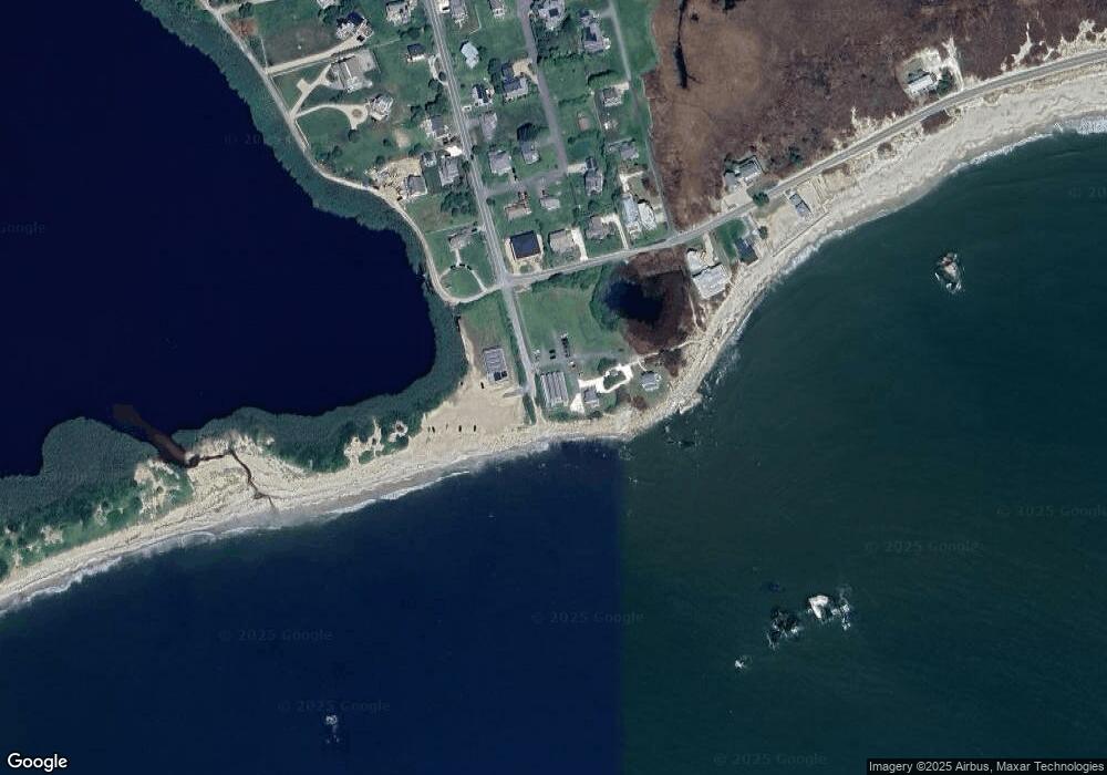
Map
Nearby Homes
- 304 Brayton Point Rd
- 189 Brayton Point Rd
- 19 Seabury Ln
- 255 John Dyer Rd
- 18 Old Barn Rd
- 1881 Main Rd
- 128 Maple Ave
- 0 Reed Rd (Ss)
- 245 John Dyer Rd
- 1580 Main Rd
- 505 Long Hwy
- 141 S Of Commons Rd
- 1702J Drift Rd
- 1702 Drift Rd
- 0 Willow Ave
- 1346 Main Rd Unit B
- 17 Quail Trail
- 116 Amy Hart Path
- 576 W Main Rd
- 238-242 E Beach Rd
- 279 Howland Rd
- 279 Howland Rd
- 278 Howland Rd
- 269 Howland Rd
- 0 Atlantic Ave
- 3 Richmond Pond Ln
- 55 Hillside Rd
- 2 Atlantic Ave
- 52 Hillside Rd
- 265 Howland Rd
- 43 Hillside Rd
- 8 Atlantic Ave
- 262 Howland Rd
- 46 Hillside Rd
- 12 Atlantic Ave
- 5 Richmond Pond Ln
- 33 Hillside Rd
- 255 Howland Rd
- 256 Howland Rd
- 18 Atlantic Ave