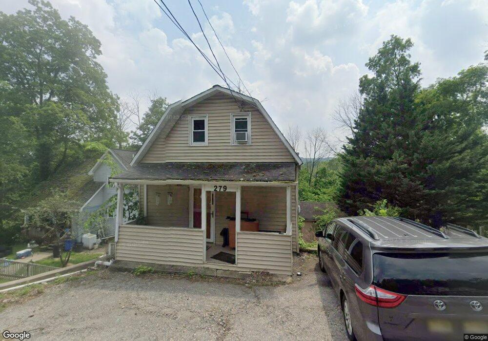
279 MacOpin Rd Bloomingdale, NJ 07403
Estimated Value: $577,000 - $706,000
--
Bed
--
Bath
2,240
Sq Ft
$276/Sq Ft
Est. Value
About This Home
This home is located at 279 MacOpin Rd, Bloomingdale, NJ 07403 and is currently estimated at $618,964, approximately $276 per square foot. 279 MacOpin Rd is a home located in Passaic County with nearby schools including Samuel R. Donald School, Martha B. Day School, and Walter T. Bergen Middle School.
Ownership History
Date
Name
Owned For
Owner Type
Purchase Details
Closed on
Oct 26, 2016
Sold by
Ford James C and Brock Ford Claire L
Bought by
Friscoe Dennis A
Current Estimated Value
Home Financials for this Owner
Home Financials are based on the most recent Mortgage that was taken out on this home.
Original Mortgage
$314,204
Interest Rate
4.25%
Mortgage Type
FHA
Purchase Details
Closed on
Jun 25, 1999
Sold by
Brock Ford Claire Louise
Bought by
Ford James C
Home Financials for this Owner
Home Financials are based on the most recent Mortgage that was taken out on this home.
Original Mortgage
$158,600
Interest Rate
7.39%
Create a Home Valuation Report for This Property
The Home Valuation Report is an in-depth analysis detailing your home's value as well as a comparison with similar homes in the area
Home Values in the Area
Average Home Value in this Area
Purchase History
| Date | Buyer | Sale Price | Title Company |
|---|---|---|---|
| Friscoe Dennis A | $320,000 | First American Title Ins Co | |
| Ford James C | -- | -- |
Source: Public Records
Mortgage History
| Date | Status | Borrower | Loan Amount |
|---|---|---|---|
| Previous Owner | Friscoe Dennis A | $314,204 | |
| Previous Owner | Ford James C | $158,600 |
Source: Public Records
Tax History Compared to Growth
Tax History
| Year | Tax Paid | Tax Assessment Tax Assessment Total Assessment is a certain percentage of the fair market value that is determined by local assessors to be the total taxable value of land and additions on the property. | Land | Improvement |
|---|---|---|---|---|
| 2025 | $12,013 | $261,900 | $77,600 | $184,300 |
| 2024 | $11,791 | $261,900 | $77,600 | $184,300 |
| 2022 | $11,772 | $261,900 | $77,600 | $184,300 |
| 2021 | $11,518 | $261,900 | $77,600 | $184,300 |
| 2020 | $11,424 | $261,900 | $77,600 | $184,300 |
| 2019 | $11,309 | $261,900 | $77,600 | $184,300 |
| 2018 | $11,249 | $261,900 | $77,600 | $184,300 |
| 2017 | $11,036 | $261,900 | $77,600 | $184,300 |
| 2016 | $10,882 | $261,900 | $77,600 | $184,300 |
| 2015 | $10,617 | $261,900 | $77,600 | $184,300 |
| 2014 | $10,227 | $261,900 | $77,600 | $184,300 |
Source: Public Records
Map
Nearby Homes
- 3 Mountain Ridge Rd Unit C0103
- 4 Mountain Ridge Rd
- 292 MacOpin Rd
- 49 Lakeview Ave
- 265 Winthrop Dr Unit 54
- 402 Cambridge Dr
- 57 Terrace Ave
- 5 Lakeview Ave
- 474 Cambridge Dr
- 130 Barrister Dr
- 23A Highland Ave
- 148 Vreeland Ave
- 27 Lincoln Rd
- 20 Ella St
- 54 Wilshire Terrace
- 11 Wilshire Terrace
- 20 Sunrise Ave
- 9 Walter Dr