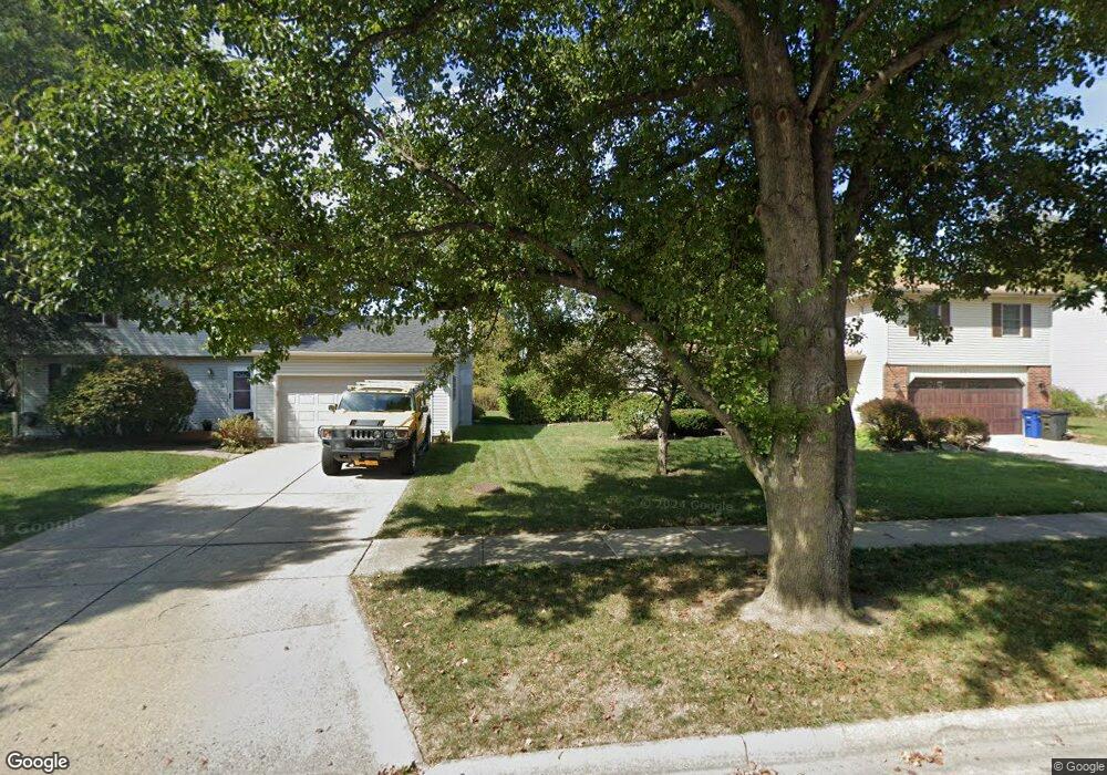
279 Matthew Ave Westerville, OH 43081
Estimated Value: $386,049 - $436,000
3
Beds
3
Baths
1,668
Sq Ft
$248/Sq Ft
Est. Value
About This Home
This home is located at 279 Matthew Ave, Westerville, OH 43081 and is currently estimated at $413,262, approximately $247 per square foot. 279 Matthew Ave is a home located in Franklin County with nearby schools including Robert Frost Elementary School, Heritage Middle School, and Westerville-North High School.
Ownership History
Date
Name
Owned For
Owner Type
Purchase Details
Closed on
Mar 4, 1996
Sold by
Brown Mary C
Bought by
Farkas Stephen M and Farkas Lori A
Current Estimated Value
Home Financials for this Owner
Home Financials are based on the most recent Mortgage that was taken out on this home.
Original Mortgage
$117,370
Outstanding Balance
$1,559
Interest Rate
7.07%
Mortgage Type
New Conventional
Estimated Equity
$411,703
Purchase Details
Closed on
May 1, 1985
Create a Home Valuation Report for This Property
The Home Valuation Report is an in-depth analysis detailing your home's value as well as a comparison with similar homes in the area
Home Values in the Area
Average Home Value in this Area
Purchase History
| Date | Buyer | Sale Price | Title Company |
|---|---|---|---|
| Farkas Stephen M | $121,000 | -- | |
| -- | -- | -- |
Source: Public Records
Mortgage History
| Date | Status | Borrower | Loan Amount |
|---|---|---|---|
| Open | Farkas Stephen M | $117,370 |
Source: Public Records
Tax History
| Year | Tax Paid | Tax Assessment Tax Assessment Total Assessment is a certain percentage of the fair market value that is determined by local assessors to be the total taxable value of land and additions on the property. | Land | Improvement |
|---|---|---|---|---|
| 2025 | $7,036 | $123,800 | $29,750 | $94,050 |
| 2024 | $7,036 | $123,800 | $29,750 | $94,050 |
| 2023 | $6,887 | $123,795 | $29,750 | $94,045 |
| 2022 | $6,235 | $85,580 | $17,290 | $68,290 |
| 2021 | $6,287 | $85,580 | $17,290 | $68,290 |
| 2020 | $6,269 | $85,580 | $17,290 | $68,290 |
| 2019 | $5,253 | $67,690 | $17,290 | $50,400 |
| 2018 | $4,897 | $67,690 | $17,290 | $50,400 |
| 2017 | $4,980 | $67,690 | $17,290 | $50,400 |
| 2016 | $4,795 | $57,190 | $17,850 | $39,340 |
| 2015 | $4,644 | $57,190 | $17,850 | $39,340 |
| 2014 | $4,647 | $57,190 | $17,850 | $39,340 |
| 2013 | $2,210 | $54,460 | $17,010 | $37,450 |
Source: Public Records
Map
Nearby Homes
- 629 Andrew Ave
- 687 E College Ave
- 138 Wood St
- 393 Canterbury Ct
- 339 Aylesbury Dr S
- 328 Myrtle Dr Unit Lot 5
- 348 Myrtle Dr Unit Lot 10
- 337 Myrtle Dr Unit Lot 2
- 334 Myrtle Dr Unit Lot 7
- 342 Myrtle Dr Unit Lot 8
- 344 Myrtle Dr Unit Lot 9
- 303 Pointe Place
- 373 Wyndham Park S
- 852 Karen Ct
- 291 Pointe Place
- 266 Black Walnut Dr
- 960 Lakeland Dr
- 660 Albion Place Unit 8660
- 961 E College Ave
- 448 Crossings Dr Unit 448
- 287 Matthew Ave
- 271 Matthew Ave
- 514 Michael Ave
- 520 Michael Ave
- 295 Matthew Ave
- 263 Matthew Ave
- 508 Michael Ave
- 604 Wren Ave
- 288 Matthew Ave
- 528 Michael Ave
- 255 Matthew Ave
- 303 Matthew Ave
- 502 Michael Ave
- 296 Matthew Ave
- 264 Matthew Ave
- 536 Michael Ave
- 304 Matthew Ave
- 513 Michael Ave
- 256 Matthew Ave
- 183 Murnane St
Your Personal Tour Guide
Ask me questions while you tour the home.