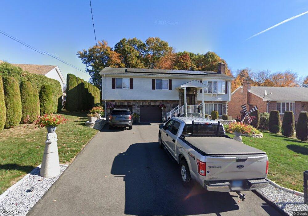
279 Miriam Rd New Britain, CT 06053
Estimated Value: $364,000 - $489,000
3
Beds
2
Baths
2,300
Sq Ft
$184/Sq Ft
Est. Value
About This Home
This home is located at 279 Miriam Rd, New Britain, CT 06053 and is currently estimated at $424,031, approximately $184 per square foot. 279 Miriam Rd is a home located in Hartford County with nearby schools including Holmes School, Pulaski Middle School, and St. Francis of Assisi Middle School.
Ownership History
Date
Name
Owned For
Owner Type
Purchase Details
Closed on
Dec 29, 2014
Sold by
Nowakowski Marek and Nowakowski Janusz
Bought by
Nowakowski Marek and Nowakowski Anna
Current Estimated Value
Purchase Details
Closed on
Oct 27, 2005
Sold by
Gradzki Karl
Bought by
Nowakowski Marek and Nowakowski Janusz
Home Financials for this Owner
Home Financials are based on the most recent Mortgage that was taken out on this home.
Original Mortgage
$228,350
Interest Rate
5.79%
Purchase Details
Closed on
Nov 24, 1998
Sold by
Topa Stanislaw and Topa Genowefa
Bought by
Gradzki Antoni and Gradzki Janina
Create a Home Valuation Report for This Property
The Home Valuation Report is an in-depth analysis detailing your home's value as well as a comparison with similar homes in the area
Home Values in the Area
Average Home Value in this Area
Purchase History
| Date | Buyer | Sale Price | Title Company |
|---|---|---|---|
| Nowakowski Marek | -- | -- | |
| Nowakowski Marek | $245,000 | -- | |
| Gradzki Antoni | $119,000 | -- |
Source: Public Records
Mortgage History
| Date | Status | Borrower | Loan Amount |
|---|---|---|---|
| Previous Owner | Gradzki Antoni | $228,350 | |
| Previous Owner | Gradzki Antoni | $130,000 | |
| Previous Owner | Gradzki Antoni | $130,000 | |
| Previous Owner | Gradzki Antoni | $24,000 |
Source: Public Records
Tax History Compared to Growth
Tax History
| Year | Tax Paid | Tax Assessment Tax Assessment Total Assessment is a certain percentage of the fair market value that is determined by local assessors to be the total taxable value of land and additions on the property. | Land | Improvement |
|---|---|---|---|---|
| 2025 | $9,007 | $229,880 | $71,260 | $158,620 |
| 2024 | $9,101 | $229,880 | $71,260 | $158,620 |
| 2023 | $8,800 | $229,880 | $71,260 | $158,620 |
| 2022 | $7,626 | $154,070 | $32,830 | $121,240 |
| 2021 | $7,626 | $154,070 | $32,830 | $121,240 |
| 2020 | $7,781 | $154,070 | $32,830 | $121,240 |
| 2019 | $7,781 | $154,070 | $32,830 | $121,240 |
| 2018 | $7,781 | $154,070 | $32,830 | $121,240 |
| 2017 | $7,264 | $143,850 | $29,960 | $113,890 |
| 2016 | $7,264 | $143,850 | $29,960 | $113,890 |
| 2015 | $7,049 | $143,850 | $29,960 | $113,890 |
| 2014 | $7,049 | $143,850 | $29,960 | $113,890 |
Source: Public Records
Map
Nearby Homes
- 187 Miriam Rd
- 57 Merigold Dr
- 910 Farmington Ave
- 90 Country Club Rd
- 55 Alexander Rd
- 40 Varmor Dr
- 34 Hutchinson St
- 83 Kim Dr
- 192 Blodgett Roy Dr
- 164 Brittany Farms Rd Unit A
- 198 Brittany Farms Rd Unit D
- 180 Batterson Park Rd
- 182 Batterson Park Rd
- 29 Bradford Walk Unit 29
- 84 Barbour Rd
- 67 Eastwick Rd
- 1114 Fienemann Rd
- 258 Eddy Glover Blvd
- 59 Heather Ln
- 394 Mcclintock St