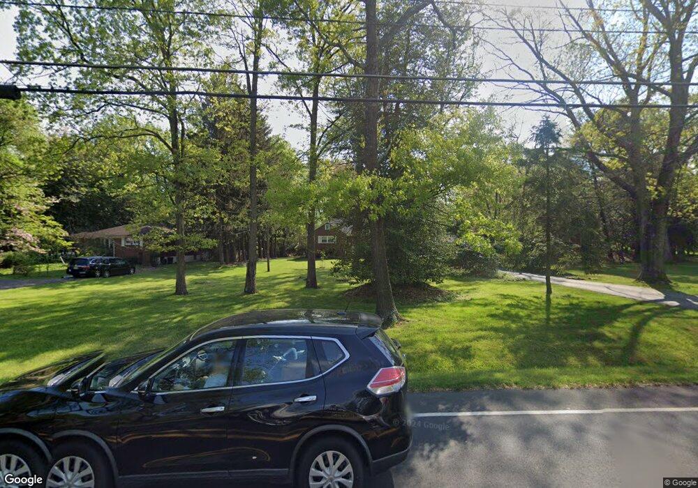
279 Mount Laurel Rd Mount Laurel, NJ 08054
Estimated Value: $477,000 - $539,000
--
Bed
--
Bath
1,822
Sq Ft
$274/Sq Ft
Est. Value
About This Home
This home is located at 279 Mount Laurel Rd, Mount Laurel, NJ 08054 and is currently estimated at $498,831, approximately $273 per square foot. 279 Mount Laurel Rd is a home located in Burlington County with nearby schools including Hillside Elementary School, T.E. Harrington Middle School, and Mount Laurel Hartford School.
Ownership History
Date
Name
Owned For
Owner Type
Purchase Details
Closed on
May 30, 2012
Sold by
Mangler Walter A and Mangler Margaret A
Bought by
Deusinger Kenneth A and Deusinger Nicole M
Current Estimated Value
Purchase Details
Closed on
Sep 10, 2007
Sold by
Mangler Walter A and Mangler Margaret A
Bought by
Deusinger Kenneth A and Deusinger Nicole M
Home Financials for this Owner
Home Financials are based on the most recent Mortgage that was taken out on this home.
Original Mortgage
$262,300
Interest Rate
6.7%
Mortgage Type
Purchase Money Mortgage
Purchase Details
Closed on
Jul 2, 1998
Sold by
Mangler Margaret A
Bought by
Mangler Walter A and Mangler Margaret A
Create a Home Valuation Report for This Property
The Home Valuation Report is an in-depth analysis detailing your home's value as well as a comparison with similar homes in the area
Home Values in the Area
Average Home Value in this Area
Purchase History
| Date | Buyer | Sale Price | Title Company |
|---|---|---|---|
| Deusinger Kenneth A | $110,000 | Surety Title Company | |
| Deusinger Kenneth A | $355,000 | Surety Title Corporation | |
| Mangler Walter A | -- | -- | |
| Mangler Walter A | -- | -- |
Source: Public Records
Mortgage History
| Date | Status | Borrower | Loan Amount |
|---|---|---|---|
| Previous Owner | Deusinger Kenneth A | $262,300 |
Source: Public Records
Tax History Compared to Growth
Tax History
| Year | Tax Paid | Tax Assessment Tax Assessment Total Assessment is a certain percentage of the fair market value that is determined by local assessors to be the total taxable value of land and additions on the property. | Land | Improvement |
|---|---|---|---|---|
| 2025 | $8,312 | $263,300 | $83,900 | $179,400 |
| 2024 | $7,999 | $263,300 | $83,900 | $179,400 |
| 2023 | $7,999 | $263,300 | $83,900 | $179,400 |
| 2022 | $7,973 | $263,300 | $83,900 | $179,400 |
| 2021 | $7,823 | $263,300 | $83,900 | $179,400 |
| 2020 | $7,670 | $263,300 | $83,900 | $179,400 |
| 2019 | $7,591 | $263,300 | $83,900 | $179,400 |
| 2018 | $7,533 | $263,300 | $83,900 | $179,400 |
| 2017 | $7,338 | $263,300 | $83,900 | $179,400 |
| 2016 | $7,228 | $263,300 | $83,900 | $179,400 |
| 2015 | $7,143 | $263,300 | $83,900 | $179,400 |
| 2014 | $7,072 | $263,300 | $83,900 | $179,400 |
Source: Public Records
Map
Nearby Homes
- 810 Mount Laurel Rd
- 324 Mount Laurel Rd
- 27 Marter Ave
- 2 Watson Dr
- 329 Mount Laurel Rd
- 21 Hillside Ln
- 212 Dogwood Dr
- 1302 Ginger Dr
- 1201A Ginger Ct
- 420 Elderberry Ct
- 7 Buttonbush Ct
- 53 Saw Mill Dr
- 124 W Berwin Way
- 6 Leighton Dr
- 27 Elkington Dr
- 603 Kirby Way Unit 603
- 907A Oliphant Ln Unit 907A
- 11 E Berwin Way
- 205 Kirby Way Unit 205
- 17 Peppergrass Dr N
- 281 Mount Laurel Rd
- 269 Mount Laurel Rd
- 285 Mount Laurel Rd
- 124 Buckingham Way
- 128 Buckingham Way
- 130 Buckingham Way
- 122 Buckingham Way
- 132 Buckingham Way
- 134 Buckingham Way
- 120 Buckingham Way
- 118 Buckingham Way
- 116 Buckingham Way
- 114 Buckingham Way
- 112 Buckingham Way
- 265 Mount Laurel Rd
- 110 Buckingham Way
- 108 Buckingham Way
- 106 Buckingham Way
- 104 Buckingham Way
- 102 Buckingham Way
