Estimated Value: $360,000 - $413,000
4
Beds
3
Baths
2,458
Sq Ft
$157/Sq Ft
Est. Value
About This Home
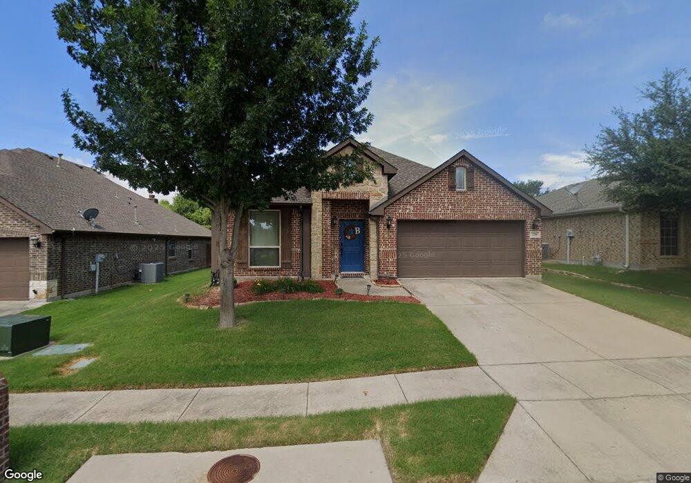
This home is located at 279 Orbit Dr, Lavon, TX 75166 and is currently estimated at $386,971, approximately $157 per square foot. 279 Orbit Dr is a home located in Collin County with nearby schools including Nesmith Elementary School, Community High School, and Wylie Preparatory Academy.
Ownership History
Date
Name
Owned For
Owner Type
Purchase Details
Closed on
Oct 30, 2015
Sold by
Bloomfield Homes Lp
Bought by
Bingham Cecily and Bingham Bruce
Current Estimated Value
Home Financials for this Owner
Home Financials are based on the most recent Mortgage that was taken out on this home.
Original Mortgage
$242,025
Outstanding Balance
$191,329
Interest Rate
3.94%
Mortgage Type
FHA
Estimated Equity
$195,642
Create a Home Valuation Report for This Property
The Home Valuation Report is an in-depth analysis detailing your home's value as well as a comparison with similar homes in the area
Home Values in the Area
Average Home Value in this Area
Purchase History
| Date | Buyer | Sale Price | Title Company |
|---|---|---|---|
| Bingham Cecily | -- | Fatco |
Source: Public Records
Mortgage History
| Date | Status | Borrower | Loan Amount |
|---|---|---|---|
| Open | Bingham Cecily | $242,025 |
Source: Public Records
Tax History
| Year | Tax Paid | Tax Assessment Tax Assessment Total Assessment is a certain percentage of the fair market value that is determined by local assessors to be the total taxable value of land and additions on the property. | Land | Improvement |
|---|---|---|---|---|
| 2025 | $5,913 | $381,410 | $96,000 | $285,410 |
| 2024 | $6,656 | $387,467 | $102,000 | $285,467 |
| 2023 | $6,656 | $377,450 | $90,000 | $325,830 |
| 2022 | $7,228 | $343,136 | $78,000 | $293,588 |
| 2021 | $6,827 | $311,942 | $60,000 | $251,942 |
| 2020 | $6,750 | $293,053 | $60,000 | $233,053 |
| 2019 | $6,817 | $285,508 | $60,000 | $225,508 |
| 2018 | $6,338 | $269,402 | $60,000 | $209,402 |
| 2017 | $6,031 | $256,323 | $60,000 | $196,323 |
| 2016 | $5,723 | $241,431 | $46,200 | $195,231 |
| 2015 | $651 | $31,426 | $31,426 | $0 |
Source: Public Records
Map
Nearby Homes
- 1036 Glenn Rd
- 1070 Shepard Ln
- 393 & 395 Orbit Dr
- 364 Armstrong Ln
- 1048 Mercury Dr
- 000 State Highway 205
- TBD Hwy 78
- 00000 State Highway 205
- 924 Bowie Dr
- 891 Austin Ln
- 271 Lamar Dr
- 707 Brookline Dr
- 532 Lucas Ln
- 510 Stanton Ln
- 682 Crockett Dr
- 791 Devonshire Dr
- 506 Austin Ln
- 839 Sunflower Rd
- 880 Sunflower Rd
- 876 Sunflower Rd
Your Personal Tour Guide
Ask me questions while you tour the home.