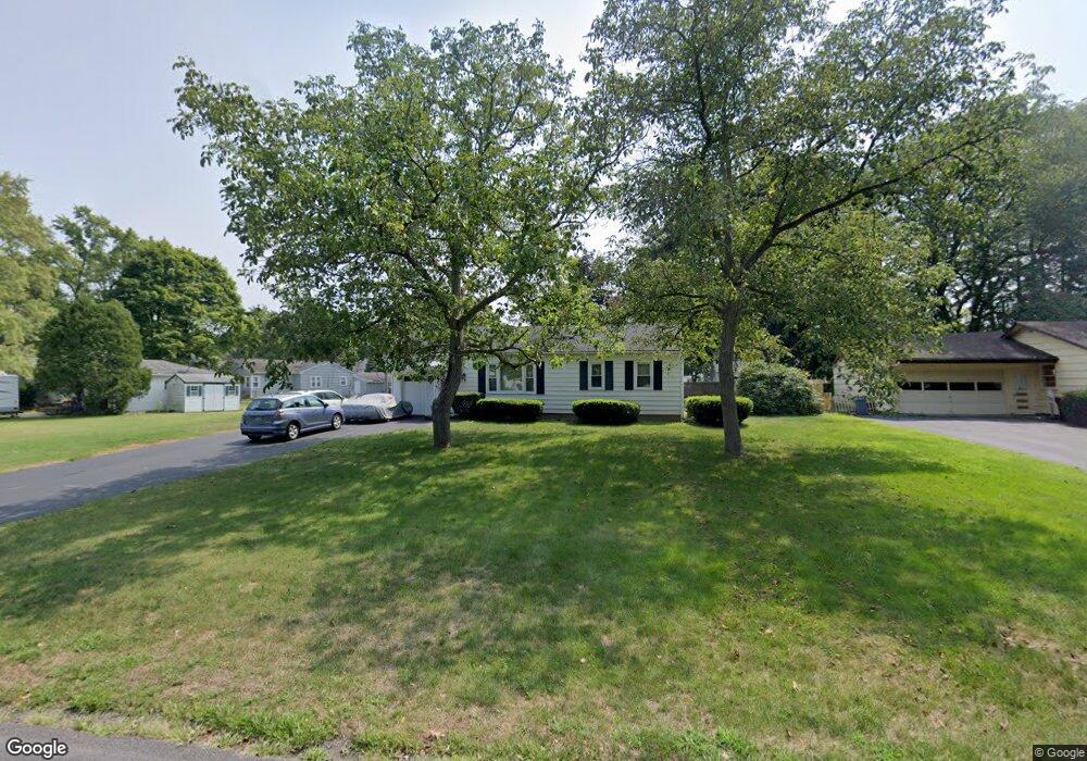
279 Park Lane Dr Webster, NY 14580
Estimated Value: $228,000 - $281,000
3
Beds
1
Bath
934
Sq Ft
$270/Sq Ft
Est. Value
About This Home
This home is located at 279 Park Lane Dr, Webster, NY 14580 and is currently estimated at $252,134, approximately $269 per square foot. 279 Park Lane Dr is a home located in Monroe County with nearby schools including DeWitt Road Elementary School, Willink Middle School, and Thomas High School.
Ownership History
Date
Name
Owned For
Owner Type
Purchase Details
Closed on
Oct 28, 2005
Sold by
Spahn William
Bought by
Mccarthy Scott
Current Estimated Value
Home Financials for this Owner
Home Financials are based on the most recent Mortgage that was taken out on this home.
Original Mortgage
$83,000
Outstanding Balance
$44,780
Interest Rate
5.79%
Mortgage Type
New Conventional
Estimated Equity
$207,354
Create a Home Valuation Report for This Property
The Home Valuation Report is an in-depth analysis detailing your home's value as well as a comparison with similar homes in the area
Home Values in the Area
Average Home Value in this Area
Purchase History
| Date | Buyer | Sale Price | Title Company |
|---|---|---|---|
| Mccarthy Scott | $93,000 | Michael Labue |
Source: Public Records
Mortgage History
| Date | Status | Borrower | Loan Amount |
|---|---|---|---|
| Open | Mccarthy Scott | $83,000 |
Source: Public Records
Tax History Compared to Growth
Tax History
| Year | Tax Paid | Tax Assessment Tax Assessment Total Assessment is a certain percentage of the fair market value that is determined by local assessors to be the total taxable value of land and additions on the property. | Land | Improvement |
|---|---|---|---|---|
| 2024 | $3,790 | $86,000 | $27,900 | $58,100 |
| 2023 | $3,685 | $86,000 | $27,900 | $58,100 |
| 2022 | $4,057 | $86,000 | $27,900 | $58,100 |
| 2021 | $4,020 | $86,000 | $27,900 | $58,100 |
| 2020 | $3,346 | $86,000 | $27,900 | $58,100 |
| 2019 | $2,964 | $86,000 | $27,900 | $58,100 |
| 2018 | $3,128 | $86,000 | $27,900 | $58,100 |
| 2017 | $2,938 | $86,000 | $27,900 | $58,100 |
| 2016 | $2,964 | $86,000 | $27,900 | $58,100 |
| 2015 | -- | $86,000 | $27,900 | $58,100 |
| 2014 | -- | $86,000 | $27,900 | $58,100 |
Source: Public Records
Map
Nearby Homes
- 787 Dewitt Rd
- 758 Dewitt Rd
- 769 Bay Rd
- 250 San Ron Dr
- 474 Wood Harbor Trail
- 737 Admiralty Way
- 273 Circle Ln
- 717 Mariner Cir
- 629 Midship Cir
- 631 Bay Rd
- 398 Spinnaker Ln
- 430 Sundance Trail
- 675 Maple Dr
- 260 Lake Rd
- 1084 Cherry Hill Ln
- 673 Seneca Rd
- 553 Hills Pond Rd
- 998 Gravel Rd
- 1021 Gravel Rd
- 408 Newport Rd
- 275 Park Lane Dr
- 805 Chestnut Bend
- 283 Park Lane Dr
- 273 Park Lane Dr
- 807 Chestnut Bend
- 276 Oakdale Dr
- 280 Park Lane Dr
- 276 Park Lane Dr
- 282 Park Lane Dr
- 274 Oakdale Dr
- 280 Oakdale Dr
- 271 Park Lane Dr
- 274 Park Lane Dr
- 272 Oakdale Dr
- 795 Chestnut Bend
- 272 Park Lane Dr
- 269 Park Lane Dr
- 279 Beechwood Crescent
- 270 Oakdale Dr
- 283 Beechwood Crescent