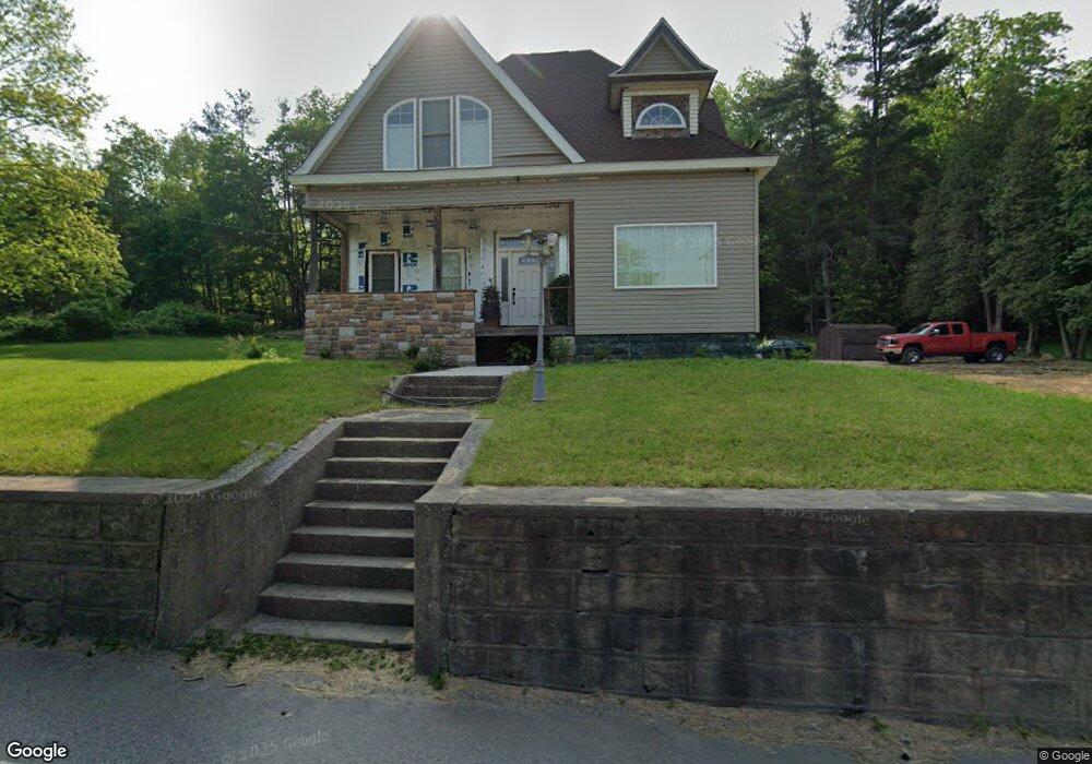
279 Patchin Hwy Cherry Tree, PA 15724
Estimated Value: $75,000 - $112,000
Studio
--
Bath
--
Sq Ft
23,958
Sq Ft Lot
About This Home
This home is located at 279 Patchin Hwy, Cherry Tree, PA 15724 and is currently estimated at $93,733. 279 Patchin Hwy is a home located in Clearfield County with nearby schools including Harmony Area Elementary School.
Ownership History
Date
Name
Owned For
Owner Type
Purchase Details
Closed on
Aug 25, 2010
Sold by
Hsbc Bank Usa Na
Bought by
Wilson Chris A and Oleary Rebecca A
Current Estimated Value
Purchase Details
Closed on
May 14, 2010
Sold by
Miller Joseph A and Miller Nelda E
Bought by
Hsbc Bank Usa Na
Purchase Details
Closed on
May 20, 2005
Sold by
Miller Joseph A and Miller Nelda E
Bought by
Miller Nelda E
Home Financials for this Owner
Home Financials are based on the most recent Mortgage that was taken out on this home.
Original Mortgage
$60,800
Interest Rate
5.83%
Mortgage Type
New Conventional
Create a Home Valuation Report for This Property
The Home Valuation Report is an in-depth analysis detailing your home's value as well as a comparison with similar homes in the area
Purchase History
| Date | Buyer | Sale Price | Title Company |
|---|---|---|---|
| Wilson Chris A | $15,000 | None Available | |
| Hsbc Bank Usa Na | -- | None Available | |
| Miller Nelda E | -- | None Available |
Source: Public Records
Mortgage History
| Date | Status | Borrower | Loan Amount |
|---|---|---|---|
| Previous Owner | Miller Nelda E | $60,800 |
Source: Public Records
Tax History
| Year | Tax Paid | Tax Assessment Tax Assessment Total Assessment is a certain percentage of the fair market value that is determined by local assessors to be the total taxable value of land and additions on the property. | Land | Improvement |
|---|---|---|---|---|
| 2025 | $749 | $12,650 | $2,050 | $10,600 |
| 2024 | $158 | $6,325 | $1,025 | $5,300 |
| 2023 | $732 | $6,325 | $1,025 | $5,300 |
| 2022 | $732 | $6,325 | $1,025 | $5,300 |
| 2021 | $758 | $6,325 | $1,025 | $5,300 |
| 2020 | $758 | $6,325 | $1,025 | $5,300 |
| 2019 | $6 | $6,325 | $1,025 | $5,300 |
| 2018 | $705 | $6,325 | $1,025 | $5,300 |
| 2017 | $728 | $6,325 | $1,025 | $5,300 |
| 2016 | -- | $6,325 | $1,025 | $5,300 |
| 2015 | -- | $6,325 | $1,025 | $5,300 |
| 2014 | -- | $6,325 | $1,025 | $5,300 |
Source: Public Records
Map
Nearby Homes
- 121 N Main St
- 399 Cherry St
- 250 Clarion Rd
- 430 S Main St
- 0 Lion Rd
- 4053 Pioneer Lake Rd
- 408 Sycamore St
- 2009 Philadelphia Ave
- 19425 Pennsylvania 286
- 213 Laurel St
- 0 Wilgus Rd Unit 1738436
- 19189 Rte 286 Hwy E
- 1404 Park Ave
- 1101 Chestnut Ave
- 1100 Chestnut Ave
- 1751 Ridge Rd
- 701 Beech St
- 1171 Churchill Rd
- 618 Apple St
- 83 Ankney Ln
Your Personal Tour Guide
Ask me questions while you tour the home.