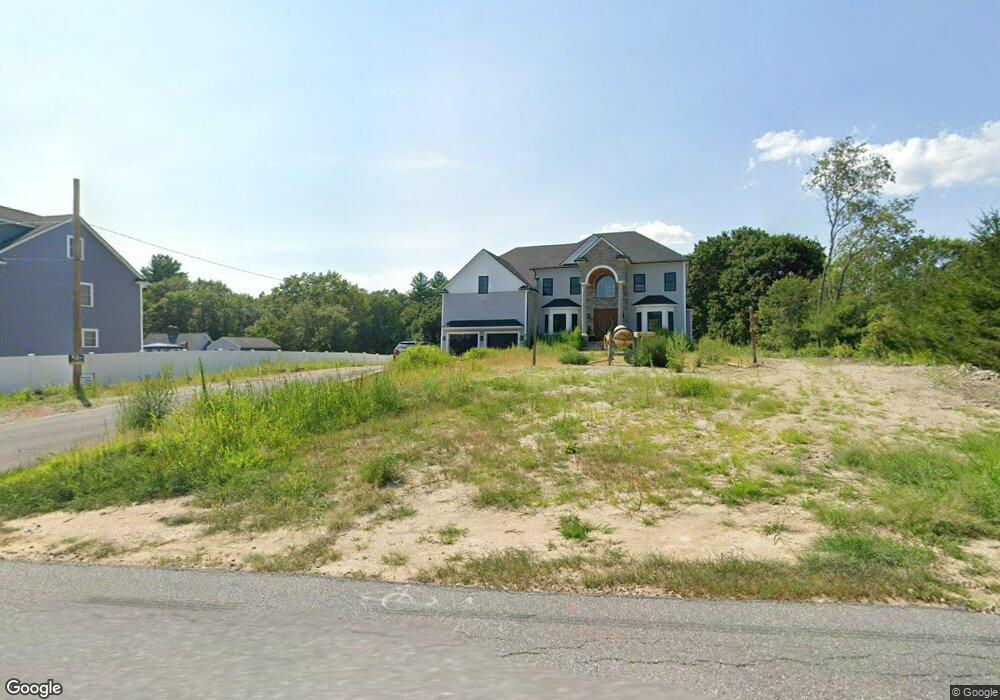
279 Rangeway Rd North Billerica, MA 01862
Estimated Value: $866,000
4
Beds
1
Bath
1,983
Sq Ft
$437/Sq Ft
Est. Value
About This Home
This home is located at 279 Rangeway Rd, North Billerica, MA 01862 and is currently estimated at $866,000, approximately $436 per square foot. 279 Rangeway Rd is a home located in Middlesex County with nearby schools including Billerica Memorial High School and Lighthouse School.
Ownership History
Date
Name
Owned For
Owner Type
Purchase Details
Closed on
Nov 16, 2023
Sold by
Proulx Cynthia A and Cutrumbes Carole J
Bought by
George Allen & Son Const
Current Estimated Value
Home Financials for this Owner
Home Financials are based on the most recent Mortgage that was taken out on this home.
Original Mortgage
$1,420,000
Outstanding Balance
$1,395,181
Interest Rate
7.49%
Mortgage Type
Commercial
Estimated Equity
-$529,181
Create a Home Valuation Report for This Property
The Home Valuation Report is an in-depth analysis detailing your home's value as well as a comparison with similar homes in the area
Home Values in the Area
Average Home Value in this Area
Purchase History
| Date | Buyer | Sale Price | Title Company |
|---|---|---|---|
| George Allen & Son Const | $500,000 | None Available | |
| George Allen & Son Const | $500,000 | None Available |
Source: Public Records
Mortgage History
| Date | Status | Borrower | Loan Amount |
|---|---|---|---|
| Open | George Allen & Son Const | $1,420,000 | |
| Closed | George Allen & Son Const | $1,420,000 |
Source: Public Records
Tax History Compared to Growth
Tax History
| Year | Tax Paid | Tax Assessment Tax Assessment Total Assessment is a certain percentage of the fair market value that is determined by local assessors to be the total taxable value of land and additions on the property. | Land | Improvement |
|---|---|---|---|---|
| 2024 | $6,214 | $550,400 | $346,000 | $204,400 |
| 2023 | $5,928 | $499,400 | $295,000 | $204,400 |
| 2022 | $5,708 | $451,600 | $272,400 | $179,200 |
| 2021 | $5,589 | $429,900 | $255,800 | $174,100 |
| 2020 | $5,460 | $420,300 | $246,200 | $174,100 |
| 2019 | $5,023 | $372,600 | $217,900 | $154,700 |
| 2018 | $4,999 | $352,300 | $202,700 | $149,600 |
| 2017 | $4,722 | $335,100 | $194,000 | $141,100 |
| 2016 | $4,661 | $329,600 | $191,800 | $137,800 |
| 2015 | $4,535 | $323,000 | $185,200 | $137,800 |
| 2014 | $4,474 | $313,100 | $180,400 | $132,700 |
Source: Public Records
Map
Nearby Homes
- 13 Westgate Rd
- 360 Boston Rd
- 14 Belmont Dr
- 218 Rangeway Rd Unit 261
- 216 Rangeway Rd Unit 114
- Map29-14-1 Rangeway Rd
- 358 Treble Cove Rd
- 28 Savoy St
- 21 Shedd Rd
- 1 Kenwood St
- 175 Mill Rd
- 162 Mill Rd Unit 162A
- 66 Mill Rd
- 15 Blades Cir
- 19 Shedd Rd
- 1 Kay's Walk
- 1 Kay's Walk Unit 1
- 13 Kay's Walk
- 3 Kay's Walk Unit 3
- 3 Kay's Walk