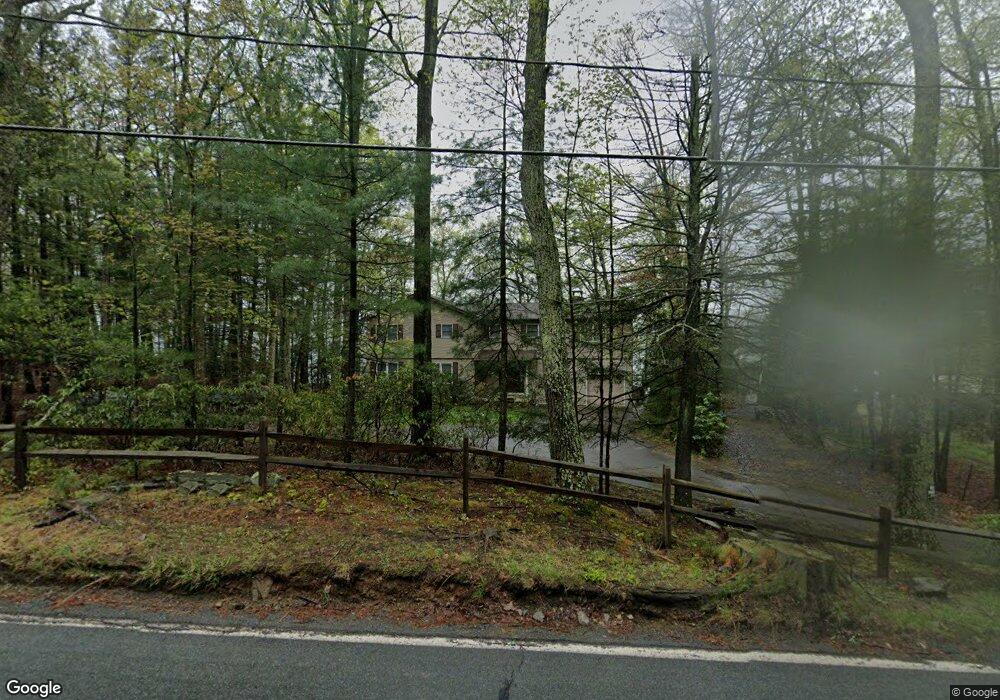
279 Route 390 Tafton, PA 18464
Estimated Value: $767,711
4
Beds
3
Baths
3,316
Sq Ft
$232/Sq Ft
Est. Value
About This Home
This home is located at 279 Route 390, Tafton, PA 18464 and is currently estimated at $767,711, approximately $231 per square foot. 279 Route 390 is a home with nearby schools including Wallenpaupack Area High School.
Ownership History
Date
Name
Owned For
Owner Type
Purchase Details
Closed on
Jul 27, 2018
Sold by
Donahue Robert W and Brien Shellie J O
Bought by
Loester John and Loester Patricia
Current Estimated Value
Home Financials for this Owner
Home Financials are based on the most recent Mortgage that was taken out on this home.
Original Mortgage
$465,000
Outstanding Balance
$398,072
Interest Rate
3.87%
Mortgage Type
Adjustable Rate Mortgage/ARM
Estimated Equity
$369,639
Create a Home Valuation Report for This Property
The Home Valuation Report is an in-depth analysis detailing your home's value as well as a comparison with similar homes in the area
Home Values in the Area
Average Home Value in this Area
Purchase History
| Date | Buyer | Sale Price | Title Company |
|---|---|---|---|
| Loester John | $620,000 | None Available |
Source: Public Records
Mortgage History
| Date | Status | Borrower | Loan Amount |
|---|---|---|---|
| Open | Loester John | $465,000 |
Source: Public Records
Tax History Compared to Growth
Tax History
| Year | Tax Paid | Tax Assessment Tax Assessment Total Assessment is a certain percentage of the fair market value that is determined by local assessors to be the total taxable value of land and additions on the property. | Land | Improvement |
|---|---|---|---|---|
| 2025 | $8,646 | $77,420 | $47,190 | $30,230 |
| 2024 | $8,646 | $77,420 | $47,190 | $30,230 |
| 2023 | $8,318 | $77,420 | $47,190 | $30,230 |
| 2022 | $8,124 | $77,420 | $47,190 | $30,230 |
| 2021 | $7,892 | $77,420 | $47,190 | $30,230 |
| 2020 | $7,892 | $77,420 | $47,190 | $30,230 |
| 2019 | $7,637 | $77,420 | $47,190 | $30,230 |
| 2018 | $7,432 | $77,420 | $47,190 | $30,230 |
| 2017 | $7,155 | $77,420 | $47,190 | $30,230 |
| 2016 | $0 | $77,420 | $47,190 | $30,230 |
| 2014 | -- | $77,420 | $47,190 | $30,230 |
Source: Public Records
Map
Nearby Homes
- 104 Steamboat Springs Ln
- 225 Pennsylvania 390
- 126 Koch Rd
- Lot 810 Tuckerman Ln E
- 138 Tuckermans Ravine
- 216 Ozark Rd
- 105 Alta Ln
- 165 Paper Birch S
- 717 Paper Birch N
- 0 Lots 220-223 Snow Bird Ln
- 0 Chamonix Ln
- 0 Pico Ln
- Lots 220-223 Snow Bird Ln
- 800 Song Mountain Terrace
- 107 Attitash Ln
- 143 Marquise Dr
- 105 - 107 Attitash Ln
- 128 Copper Mountain Dr
- Lot 762 Mountain Snow Cir
- 763764 Mountain Snow Cir
- 279 Pennsylvania 390
- 283 Pennsylvania 390
- 106 Westbrook Ct
- 287 Route 390
- 272 Route 390
- 289 Route 390
- 291 Route 390
- 107 Martin Ln
- 293 Route 390
- 295 Route 390
- 106 S Second St
- 0 Pennsylvania 390
- 102 Westbrook Ridge Ave
- 101 S Second St
- 294 Route 390
- 100 S 4th St
- 296 Route 390
- 110 Westbrook Ridge Ave
- 19 Westbrook Ridge Ave
- 114 Westbrook Ridge Ave