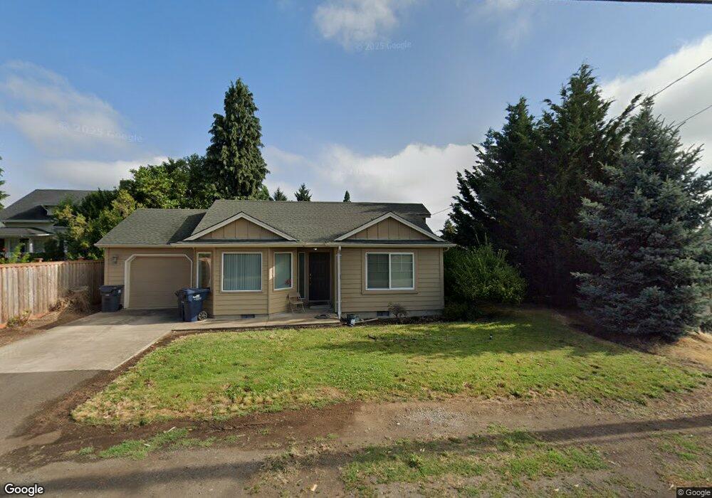
279 Santa Clara Ave Eugene, OR 97404
Santa Clara NeighborhoodEstimated Value: $525,000 - $577,000
About This Home
This home is located at 279 Santa Clara Ave, Eugene, OR 97404 and is currently estimated at $553,773, approximately $256 per square foot. 279 Santa Clara Ave is a home located in Lane County with nearby schools including Spring Creek Elementary School, Madison Middle School, and North Eugene High School.
Ownership History
We collect this data history from publicly available records. To have your information removed, we recommend requesting removal directly through your county’s website.
Purchase Details
Home Financials for this Owner
Home Financials are based on the most recent Mortgage that was taken out on this home.Purchase Details
Home Values in the Area
Average Home Value in this Area
Purchase History
We collect this data history from publicly available records. To have your information removed, we recommend requesting removal directly through your county’s website.
| Date | Buyer | Sale Price | Title Company |
|---|---|---|---|
| $257,000 | Fidelity National Title Insu | ||
| $215,000 | Evergreen Land Title Co |
Mortgage History
We collect this data history from publicly available records. To have your information removed, we recommend requesting removal directly through your county’s website.
| Date | Status | Borrower | Loan Amount |
|---|---|---|---|
| Closed | $192,750 |
Tax History
We collect this data history from publicly available records. To have your information removed, we recommend requesting removal directly through your county’s website.
| Year | Tax Paid | Tax Assessment Tax Assessment Total Assessment is a certain percentage of the fair market value that is determined by local assessors to be the total taxable value of land and additions on the property. | Land | Improvement |
|---|---|---|---|---|
| 2025 | $6,466 | $331,840 | -- | -- |
| 2024 | $6,385 | $322,175 | -- | -- |
| 2023 | $6,385 | $312,792 | $0 | $0 |
| 2022 | $5,982 | $303,682 | $0 | $0 |
| 2021 | $5,618 | $294,837 | $0 | $0 |
| 2020 | $5,567 | $286,250 | $0 | $0 |
| 2019 | $5,328 | $277,913 | $0 | $0 |
| 2018 | $4,916 | $261,960 | $0 | $0 |
| 2017 | $4,652 | $261,960 | $0 | $0 |
| 2016 | $4,498 | $254,330 | $0 | $0 |
| 2015 | $4,422 | $246,922 | $0 | $0 |
| 2014 | $4,329 | $239,730 | $0 | $0 |
Map
- 2510 Quince St
- 285 Santa Clara Ave
- 2489 Dalton Dr
- 277 Santa Clara Ave
- 2490 Quince St
- 2550 Quince St
- 287 Santa Clara Ave
- 2535 Quince St
- 2492 Dalton Dr
- 314 Exeter Ave
- 2473 Dalton Dr
- 2551 Quince St
- 2472 Quince St
- 225 Santa Clara Ave
- 289 Santa Clara Ave
- 2536 Jasmine St
- 320 Exeter Ave
- 250 Santa Clara Ave
- 2476 Dalton Dr
- 312 Santa Clara Ave
Ask me questions while you tour the home.