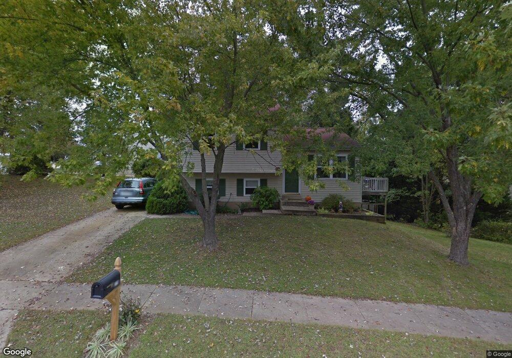
279 Silverleaf Ct Arnold, MD 21012
Estimated Value: $404,788 - $520,000
Studio
2
Baths
1,464
Sq Ft
$323/Sq Ft
Est. Value
About This Home
This home is located at 279 Silverleaf Ct, Arnold, MD 21012 and is currently estimated at $473,447, approximately $323 per square foot. 279 Silverleaf Ct is a home located in Anne Arundel County with nearby schools including Broadneck Elementary School, Magothy River Middle School, and Broadneck High School.
Ownership History
Date
Name
Owned For
Owner Type
Purchase Details
Closed on
May 15, 1992
Sold by
Hayden Michael A
Bought by
Doll Michael W and Doll Cynthia A
Current Estimated Value
Home Financials for this Owner
Home Financials are based on the most recent Mortgage that was taken out on this home.
Original Mortgage
$53,000
Interest Rate
8.64%
Purchase Details
Closed on
Aug 3, 1987
Sold by
Kothari Anil C
Bought by
Hayden Michael A
Create a Home Valuation Report for This Property
The Home Valuation Report is an in-depth analysis detailing your home's value as well as a comparison with similar homes in the area
Home Values in the Area
Average Home Value in this Area
Purchase History
| Date | Buyer | Sale Price | Title Company |
|---|---|---|---|
| Doll Michael W | $120,000 | -- | |
| Hayden Michael A | $80,000 | -- |
Source: Public Records
Mortgage History
| Date | Status | Borrower | Loan Amount |
|---|---|---|---|
| Closed | Doll Michael W | $53,000 |
Source: Public Records
Tax History
| Year | Tax Paid | Tax Assessment Tax Assessment Total Assessment is a certain percentage of the fair market value that is determined by local assessors to be the total taxable value of land and additions on the property. | Land | Improvement |
|---|---|---|---|---|
| 2025 | $2,804 | $358,733 | -- | -- |
| 2024 | $2,804 | $339,800 | $232,900 | $106,900 |
| 2023 | $2,728 | $336,200 | $0 | $0 |
| 2022 | $2,556 | $332,600 | $0 | $0 |
| 2020 | $2,429 | $317,000 | $0 | $0 |
| 2019 | $2,384 | $305,000 | $0 | $0 |
| 2018 | $2,971 | $293,000 | $174,700 | $118,300 |
| 2017 | $2,249 | $287,900 | $0 | $0 |
| 2016 | -- | $282,800 | $0 | $0 |
| 2015 | -- | $277,700 | $0 | $0 |
| 2014 | -- | $260,167 | $0 | $0 |
Source: Public Records
Map
Nearby Homes
- 1108 Silverleaf Dr
- 303 Ternwing Dr
- 1233 Birchcrest Ct
- 930 Whitstable Blvd
- 876 Nancy Lynn Ln
- 312 Rosslare Dr
- 434 College Pkwy
- 1078 Brightleaf Ct
- 308 Clifton Ave
- 1176 White Coral Ct
- 554 Melissa Ct
- 319 Alameda Pkwy
- 525 Loughton Ln
- 342 Buena Vista Ave
- 394 Kings College Dr
- 805 Barrett Ave
- 404 Alameda Pkwy
- 508 Bay Hills Dr
- 136 Collington Ct
- 1117 Canterwood Place
- 281 Overleaf Dr
- 277 Silverleaf Ct
- 267 Overleaf Dr
- 283 Overleaf Dr
- 274 Overleaf Dr
- 272 Overleaf Dr
- 265 Overleaf Dr
- 285 Overleaf Dr
- 270 Overleaf Dr
- 269 Silverleaf Ct
- 273 Silverleaf Ct
- 271 Silverleaf Ct
- 1119 Silverleaf Dr
- 263 Overleaf Dr
- 1125 Silverleaf Dr
- 268 Overleaf Dr
- 1117 Silverleaf Dr
- 1127 Silverleaf Dr
- 261 Overleaf Dr
- 1115 Silverleaf Dr
Your Personal Tour Guide
Ask me questions while you tour the home.