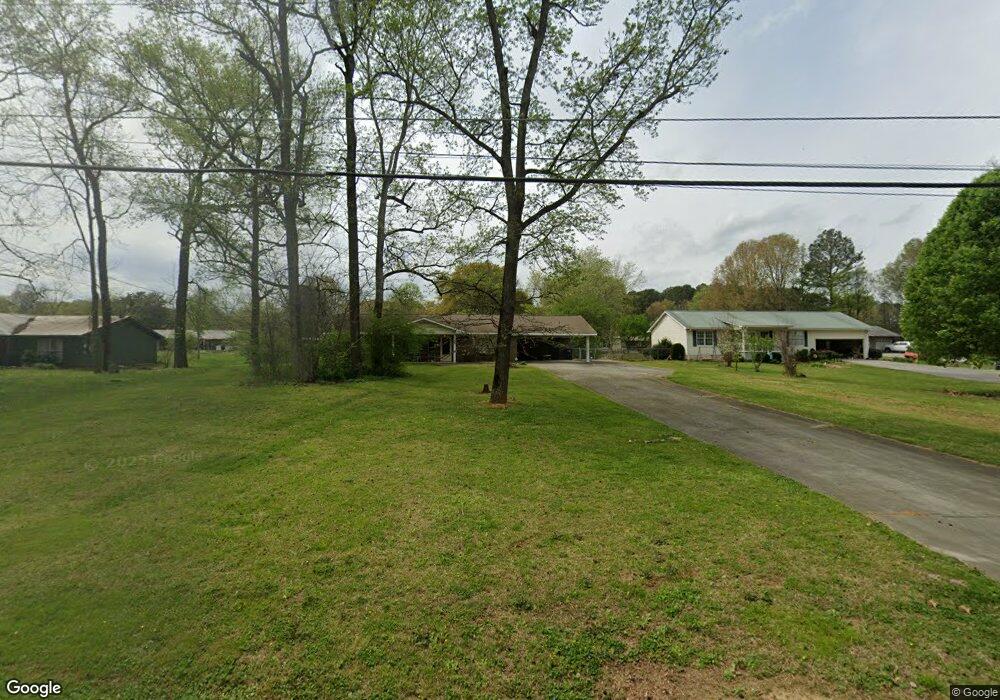
279 Stewart Dr SW Calhoun, GA 30701
Estimated Value: $253,000 - $262,000
3
Beds
2
Baths
1,699
Sq Ft
$152/Sq Ft
Est. Value
About This Home
This home is located at 279 Stewart Dr SW, Calhoun, GA 30701 and is currently estimated at $258,239, approximately $151 per square foot. 279 Stewart Dr SW is a home located in Gordon County with nearby schools including Calhoun Primary School, Calhoun Elementary School, and Calhoun Middle School.
Ownership History
Date
Name
Owned For
Owner Type
Purchase Details
Closed on
Jun 27, 2005
Sold by
Allen Katherine
Bought by
Mckinney Linda D
Current Estimated Value
Home Financials for this Owner
Home Financials are based on the most recent Mortgage that was taken out on this home.
Original Mortgage
$90,000
Outstanding Balance
$46,708
Interest Rate
5.57%
Mortgage Type
New Conventional
Estimated Equity
$211,531
Purchase Details
Closed on
Oct 28, 1983
Bought by
Hensley Mrs Mark
Create a Home Valuation Report for This Property
The Home Valuation Report is an in-depth analysis detailing your home's value as well as a comparison with similar homes in the area
Home Values in the Area
Average Home Value in this Area
Purchase History
| Date | Buyer | Sale Price | Title Company |
|---|---|---|---|
| Mckinney Linda D | $100,000 | -- | |
| Hensley Mrs Mark | $40,000 | -- |
Source: Public Records
Mortgage History
| Date | Status | Borrower | Loan Amount |
|---|---|---|---|
| Open | Mckinney Linda D | $90,000 |
Source: Public Records
Tax History Compared to Growth
Tax History
| Year | Tax Paid | Tax Assessment Tax Assessment Total Assessment is a certain percentage of the fair market value that is determined by local assessors to be the total taxable value of land and additions on the property. | Land | Improvement |
|---|---|---|---|---|
| 2024 | $1,938 | $69,560 | $5,200 | $64,360 |
| 2023 | $1,812 | $65,080 | $5,200 | $59,880 |
| 2022 | $561 | $61,000 | $5,200 | $55,800 |
| 2021 | $1,540 | $52,360 | $5,200 | $47,160 |
| 2020 | $1,572 | $53,040 | $5,200 | $47,840 |
| 2019 | $1,570 | $53,040 | $5,200 | $47,840 |
| 2018 | $435 | $47,120 | $5,040 | $42,080 |
| 2017 | $419 | $44,640 | $5,040 | $39,600 |
| 2016 | $420 | $44,640 | $5,040 | $39,600 |
| 2015 | $417 | $43,800 | $5,040 | $38,760 |
| 2014 | $397 | $42,344 | $5,040 | $37,304 |
Source: Public Records
Map
Nearby Homes
- 490 McDaniel Station Rd SW
- 506 McDaniel Station Rd SW
- 458 McDaniel Station Rd SW
- 474 McDaniel Station Rd SW
- 0 Highway 53 Spur SW Unit 7529096
- 121 Foxhall Dr SW
- 00 Belmont Dr
- 261 Liberty Ln SW
- 130 Brookstone Dr SW
- 137 Regency Row SW
- 0 Reeves Station Rd SW Unit 10548197
- 0 Reeves Station Rd SW Unit 7601645
- 1401 U S 41
- 1311 Us Highway 41
- 0 W Belmont Dr Unit 10489910
- 413 Beamer Rd SW
- 108 Mac Ave
- The Pearson Plan at Creekview
- The Coleman Plan at Creekview
- The Benson II Plan at Creekview
- 273 Stewart Dr SW
- 299 Stewart Dr SW
- 128 Brian Dr SW
- 269 Stewart Dr SW
- 296 Stewart Dr SW
- 296 Stewart Dr SW
- 307 Stewart Dr SW
- 140 Brian Dr SW
- 114 Brian Dr SW
- 100 Brian Dr SW
- 152 Brian Dr SW
- 312 Stewart Dr SW
- 160 Brian Dr SW
- 111 Brian Dr SW
- 127 Brian Dr SW
- 320 Stewart Dr SW
- 139 Brian Dr SW
- 139 Brian Dr SW
- 327 Stewart Dr SW
- 151 Brian Dr SW