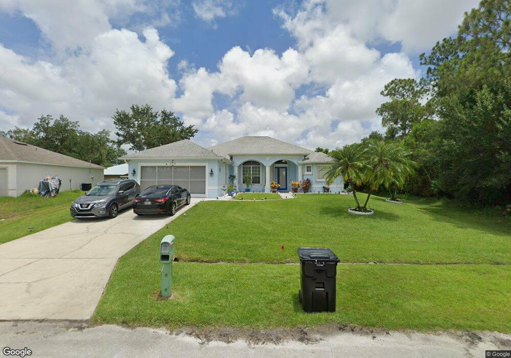
279 SW Aubudon Ave Port Saint Lucie, FL 34984
Canal Pointe NeighborhoodEstimated Value: $475,000 - $549,000
4
Beds
3
Baths
2,383
Sq Ft
$214/Sq Ft
Est. Value
About This Home
This home is located at 279 SW Aubudon Ave, Port Saint Lucie, FL 34984 and is currently estimated at $509,046, approximately $213 per square foot. 279 SW Aubudon Ave is a home located in St. Lucie County with nearby schools including Floresta Elementary School, Morningside Elementary School, and Northport K-8 School.
Ownership History
Date
Name
Owned For
Owner Type
Purchase Details
Closed on
Jul 30, 2003
Sold by
Natl Lots Inc
Bought by
Winter Cedric and Winter Wendy
Current Estimated Value
Home Financials for this Owner
Home Financials are based on the most recent Mortgage that was taken out on this home.
Original Mortgage
$21,936
Interest Rate
5.24%
Purchase Details
Closed on
Jun 9, 2003
Sold by
Robertson John
Bought by
Natl Lots Inc
Home Financials for this Owner
Home Financials are based on the most recent Mortgage that was taken out on this home.
Original Mortgage
$21,936
Interest Rate
5.24%
Create a Home Valuation Report for This Property
The Home Valuation Report is an in-depth analysis detailing your home's value as well as a comparison with similar homes in the area
Home Values in the Area
Average Home Value in this Area
Purchase History
| Date | Buyer | Sale Price | Title Company |
|---|---|---|---|
| Winter Cedric | $26,900 | -- | |
| Natl Lots Inc | $13,500 | -- |
Source: Public Records
Mortgage History
| Date | Status | Borrower | Loan Amount |
|---|---|---|---|
| Previous Owner | Winter Cedric | $21,936 |
Source: Public Records
Tax History Compared to Growth
Tax History
| Year | Tax Paid | Tax Assessment Tax Assessment Total Assessment is a certain percentage of the fair market value that is determined by local assessors to be the total taxable value of land and additions on the property. | Land | Improvement |
|---|---|---|---|---|
| 2024 | $3,466 | $173,593 | -- | -- |
| 2023 | $3,466 | $168,537 | $0 | $0 |
| 2022 | $3,323 | $163,629 | $0 | $0 |
| 2021 | $3,240 | $158,864 | $0 | $0 |
| 2020 | $3,257 | $156,671 | $0 | $0 |
| 2019 | $3,224 | $153,149 | $0 | $0 |
| 2018 | $3,064 | $150,294 | $0 | $0 |
| 2017 | $3,251 | $219,900 | $34,200 | $185,700 |
| 2016 | $3,208 | $201,700 | $26,400 | $175,300 |
| 2015 | $3,238 | $165,100 | $17,100 | $148,000 |
| 2014 | $3,083 | $142,038 | $0 | $0 |
Source: Public Records
Map
Nearby Homes
- 2410 SW Bayshore Blvd
- 279 SW Statler Ave
- 2445 SW Falcon Cir
- 171 SW Glenwood Dr
- 2385 SW Mountwell St
- 2509 SW Cooper Ln
- 13346 SW Mazzano St
- 2301 SE Canopy Cove Ln
- 2221 SW Edison Cir
- 213 SW Chapman Ave
- 2624 SW Harem Cir
- 131 SW Essex Dr
- 2458 SW Hinchman St
- 201 SW Chapman Ave
- 2613 SW Harem Cir
- 2544 SW Cameo Blvd
- 2433 SW Hinchman St
- 2574 SW Cameo Blvd
- 158 SW Port St Lucie Blvd
- 154 SW Port St Lucie Blvd
- 2397 SW Bayshore Blvd
- 2397 SW Aubudon Bayshore Blvd
- 286 SW Moselle Ave
- 280 SW Moselle Ave
- 292 SW Moselle Ave
- 271 SW Aubudon Ave
- 2381 SW Bayshore Blvd
- 282 SW Aubudon Ave
- 274 SW Moselle Ave
- 278 SW Aubudon Ave
- 274 SW Aubudon Ave
- 267 SW Aubudon Ave
- 268 SW Moselle Ave
- 287 SW Aubudon Ave
- 2390 SW Bayshore Blvd
- 283 SW Moselle Ave
- 279 SW Moselle Ave
- 256 SW Aubudon Ave
- 268 SW Aubudon Ave
- 2419 SW Bayshore Blvd