Estimated Value: $247,468 - $553,000
--
Bed
2
Baths
3,220
Sq Ft
$124/Sq Ft
Est. Value
About This Home
This home is located at 279 Swails Ln, Axson, GA 31624 and is currently estimated at $400,234, approximately $124 per square foot. 279 Swails Ln is a home located in Atkinson County with nearby schools including Pearson Elementary School, Willacoochee Elementary School, and Atkinson County High School.
Ownership History
Date
Name
Owned For
Owner Type
Purchase Details
Closed on
Jan 26, 2012
Sold by
Batchelor David
Bought by
Batchelor David
Current Estimated Value
Home Financials for this Owner
Home Financials are based on the most recent Mortgage that was taken out on this home.
Original Mortgage
$269,600
Outstanding Balance
$185,587
Interest Rate
3.99%
Mortgage Type
New Conventional
Estimated Equity
$214,647
Purchase Details
Closed on
Mar 15, 1996
Bought by
Batchelor David
Create a Home Valuation Report for This Property
The Home Valuation Report is an in-depth analysis detailing your home's value as well as a comparison with similar homes in the area
Home Values in the Area
Average Home Value in this Area
Purchase History
| Date | Buyer | Sale Price | Title Company |
|---|---|---|---|
| Batchelor David | -- | -- | |
| Batchelor David | -- | -- | |
| Batchelor David | $11,200 | -- |
Source: Public Records
Mortgage History
| Date | Status | Borrower | Loan Amount |
|---|---|---|---|
| Open | Batchelor David | $269,600 |
Source: Public Records
Tax History Compared to Growth
Tax History
| Year | Tax Paid | Tax Assessment Tax Assessment Total Assessment is a certain percentage of the fair market value that is determined by local assessors to be the total taxable value of land and additions on the property. | Land | Improvement |
|---|---|---|---|---|
| 2024 | $1,712 | $57,965 | $8,838 | $49,127 |
| 2023 | $1,161 | $57,965 | $8,838 | $49,127 |
| 2022 | $1,704 | $57,965 | $8,838 | $49,127 |
| 2021 | $1,798 | $57,965 | $8,838 | $49,127 |
| 2020 | $1,799 | $57,965 | $8,838 | $49,127 |
| 2019 | $1,800 | $57,965 | $8,838 | $49,127 |
| 2018 | $1,874 | $57,965 | $8,838 | $49,127 |
| 2017 | $1,801 | $57,965 | $8,838 | $49,127 |
| 2016 | $1,801 | $57,965 | $8,838 | $49,127 |
| 2015 | -- | $57,965 | $8,838 | $49,127 |
| 2014 | -- | $57,965 | $8,838 | $49,127 |
Source: Public Records
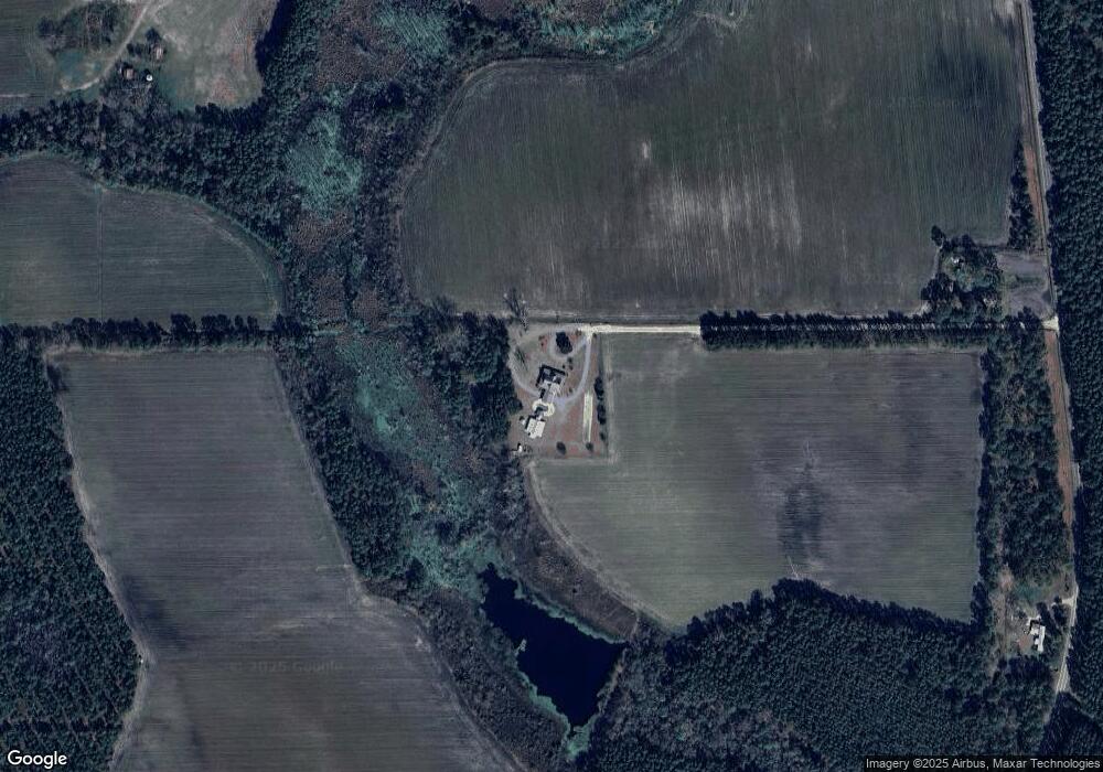
Map
Nearby Homes
- 6860 Douglas Hwy
- 149 Red Bluff Rd
- Tbd Duncan Bridge Rd
- Tbd Albany Hwy
- 1398 Adventure Trail
- 8802 Good Carter Rd
- 227 Bear Trail
- 0 Grey Hawk Rd
- 1125 Barn Owl Ln
- 00 Us-441 S
- 6176 Perch Creek Trail
- 0 Honeysuckle Ln Unit 10623320
- 26 Acres Telmore-Dixie Union Rd
- 82 Old 122 Hwy E
- 0 Odum Rd
- 3526 Stagecoach Rd
- 110 Shortrun Ln
- 121 Farms Edge Rd
- S S River Rd
- 0 Perch Creek Trail Unit 10600480