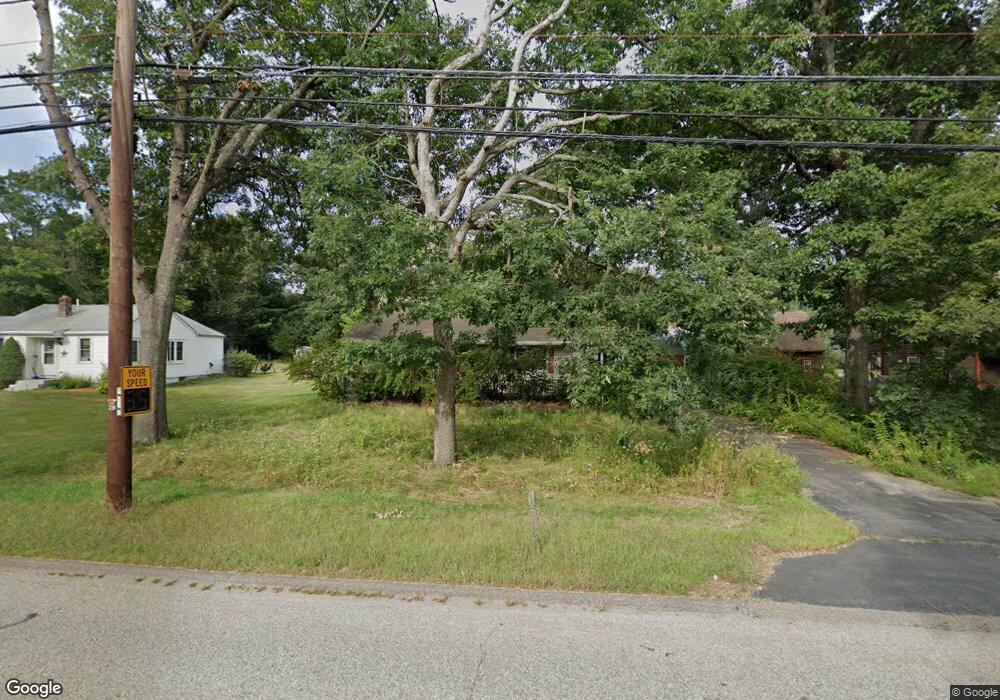
279 Thurston St Wrentham, MA 02093
Estimated Value: $514,000 - $560,000
3
Beds
1
Bath
1,476
Sq Ft
$358/Sq Ft
Est. Value
About This Home
This home is located at 279 Thurston St, Wrentham, MA 02093 and is currently estimated at $528,173, approximately $357 per square foot. 279 Thurston St is a home located in Norfolk County with nearby schools including Delaney Elementary School, Charles E Roderick, and The Sage School.
Ownership History
Date
Name
Owned For
Owner Type
Purchase Details
Closed on
Oct 28, 2020
Sold by
Seaport Investments Llc
Bought by
Young Bruce
Current Estimated Value
Purchase Details
Closed on
Oct 28, 2019
Sold by
Acord Lois E
Bought by
Seaport Investments Llc
Home Financials for this Owner
Home Financials are based on the most recent Mortgage that was taken out on this home.
Original Mortgage
$224,000
Interest Rate
3.6%
Mortgage Type
New Conventional
Purchase Details
Closed on
Jul 28, 2004
Sold by
Acord John W
Bought by
Acord John W and Acord Lois E
Home Financials for this Owner
Home Financials are based on the most recent Mortgage that was taken out on this home.
Original Mortgage
$256,000
Interest Rate
6.33%
Mortgage Type
Purchase Money Mortgage
Create a Home Valuation Report for This Property
The Home Valuation Report is an in-depth analysis detailing your home's value as well as a comparison with similar homes in the area
Home Values in the Area
Average Home Value in this Area
Purchase History
| Date | Buyer | Sale Price | Title Company |
|---|---|---|---|
| Young Bruce | $347,000 | None Available | |
| Seaport Investments Llc | $160,000 | -- | |
| Acord John W | -- | -- |
Source: Public Records
Mortgage History
| Date | Status | Borrower | Loan Amount |
|---|---|---|---|
| Previous Owner | Seaport Investments Llc | $224,000 | |
| Previous Owner | Acord John W | $256,000 |
Source: Public Records
Tax History Compared to Growth
Tax History
| Year | Tax Paid | Tax Assessment Tax Assessment Total Assessment is a certain percentage of the fair market value that is determined by local assessors to be the total taxable value of land and additions on the property. | Land | Improvement |
|---|---|---|---|---|
| 2025 | $5,513 | $475,700 | $242,600 | $233,100 |
| 2024 | $5,238 | $436,500 | $242,600 | $193,900 |
| 2023 | $5,151 | $408,200 | $220,600 | $187,600 |
| 2022 | $4,854 | $355,100 | $198,600 | $156,500 |
| 2021 | $4,666 | $331,600 | $177,400 | $154,200 |
| 2020 | $4,563 | $320,200 | $161,900 | $158,300 |
| 2019 | $4,244 | $300,600 | $147,200 | $153,400 |
| 2018 | $4,081 | $286,600 | $147,300 | $139,300 |
| 2017 | $3,835 | $269,100 | $144,400 | $124,700 |
| 2016 | $3,703 | $259,300 | $140,300 | $119,000 |
| 2015 | $3,583 | $239,200 | $134,800 | $104,400 |
| 2014 | $3,526 | $230,300 | $129,700 | $100,600 |
Source: Public Records
Map
Nearby Homes
- 120 Hawes St
- 155 Clark Rd Unit 155
- 483 Thurston St
- 65 Pond St
- 362 East St
- 319 Taunton St
- 1 Lorraine Metcalf Dr
- 270 Dedham St
- 10 Nature View Dr
- 15 Nature View Dr
- 25 Foxboro Rd
- 131 Washington St Unit 42
- 11 Goodwin Dr
- 11 Earle Stewart Ln
- Lot 1 - Blueberry 2 Car Plan at King Philip Estates
- Lot 8 - Blueberry 2 Car Plan at King Philip Estates
- Lot 5 - Hughes 2 car Plan at King Philip Estates
- Lot 6 - Blueberry 3 Car Plan at King Philip Estates
- Lot 2 - Camden 2 Car Plan at King Philip Estates
- Lot 7 - Cedar Plan at King Philip Estates
- 285 Thurston St
- 271 Thurston St
- 282 Thurston St
- 263 Thurston St
- 299 Thurston St
- 253 Thurston St
- 270 Thurston St
- 20 Lloyd Ave
- 20 Lloyd Ave Unit 1
- 20 Lloyd Ave Unit 2A
- 4 Kelsi Way
- 306 Thurston St
- 31 Lloyd Ave
- 28 Lloyd Ave
- 305 Thurston St
- Lot 1 Kelsi Way
- Lot 3 Kelsi Way
- 245 Thurston St
- 39 Lloyd Ave
- 54 Ames Ave