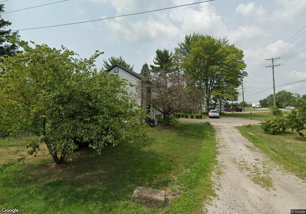
279 W Broad St Pataskala, OH 43062
Estimated Value: $201,000 - $255,000
3
Beds
2
Baths
1,184
Sq Ft
$194/Sq Ft
Est. Value
About This Home
This home is located at 279 W Broad St, Pataskala, OH 43062 and is currently estimated at $229,167, approximately $193 per square foot. 279 W Broad St is a home located in Licking County with nearby schools including Pataskala Elementary School, Etna Elementary School, and Watkins Middle School.
Ownership History
Date
Name
Owned For
Owner Type
Purchase Details
Closed on
Sep 29, 2015
Sold by
Thomas Sarah A
Bought by
Thomas Shawn M
Current Estimated Value
Home Financials for this Owner
Home Financials are based on the most recent Mortgage that was taken out on this home.
Original Mortgage
$77,800
Outstanding Balance
$61,212
Interest Rate
3.88%
Mortgage Type
New Conventional
Estimated Equity
$167,955
Purchase Details
Closed on
Jul 26, 2011
Sold by
Parman Bruce C
Bought by
Thomas Sarah A
Home Financials for this Owner
Home Financials are based on the most recent Mortgage that was taken out on this home.
Original Mortgage
$76,683
Interest Rate
4.52%
Mortgage Type
FHA
Create a Home Valuation Report for This Property
The Home Valuation Report is an in-depth analysis detailing your home's value as well as a comparison with similar homes in the area
Home Values in the Area
Average Home Value in this Area
Purchase History
| Date | Buyer | Sale Price | Title Company |
|---|---|---|---|
| Thomas Shawn M | $150,000 | Attorney | |
| Thomas Sarah A | $74,000 | Valmer Land Title Agency |
Source: Public Records
Mortgage History
| Date | Status | Borrower | Loan Amount |
|---|---|---|---|
| Open | Thomas Shawn M | $77,800 | |
| Previous Owner | Thomas Sarah A | $76,683 |
Source: Public Records
Tax History Compared to Growth
Tax History
| Year | Tax Paid | Tax Assessment Tax Assessment Total Assessment is a certain percentage of the fair market value that is determined by local assessors to be the total taxable value of land and additions on the property. | Land | Improvement |
|---|---|---|---|---|
| 2024 | $2,548 | $61,360 | $20,510 | $40,850 |
| 2023 | $2,546 | $61,360 | $20,510 | $40,850 |
| 2022 | $2,367 | $48,860 | $12,320 | $36,540 |
| 2021 | $2,437 | $48,860 | $12,320 | $36,540 |
| 2020 | $2,475 | $48,860 | $12,320 | $36,540 |
| 2019 | $2,047 | $37,320 | $10,260 | $27,060 |
| 2018 | $2,054 | $0 | $0 | $0 |
| 2017 | $2,035 | $0 | $0 | $0 |
| 2016 | $1,721 | $0 | $0 | $0 |
| 2015 | $1,658 | $0 | $0 | $0 |
| 2014 | $2,111 | $0 | $0 | $0 |
| 2013 | $1,790 | $0 | $0 | $0 |
Source: Public Records
Map
Nearby Homes
- 303 Levi Dr Unit Lot 7
- 186 Markway Dr Unit Lot 12
- 305 Levi Dr Unit Lot 6
- 188 Markway Dr Unit Lot 13
- 210 Cedar St Unit 156b
- 238 S Vine St
- 81 Town St
- 426 Waterlily Ln
- 0 Blacks Rd Unit 215031989
- 0 Blacks Rd Unit Lot 10
- 121 Granville St
- 360 Isaac Tharp St
- 364 Isaac Tharp St
- 342 Isaac Tharp St
- 405 Waterlily Ln
- 372 Isaac Tharp St
- 368 Isaac Tharp St
- 388 S Township Rd
- 164 W Mill St
- 475 Washington St