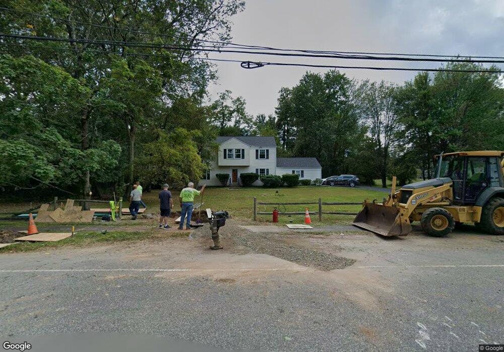
279 W Hobart Gap Rd Livingston, NJ 07039
Estimated Value: $1,224,266 - $1,587,000
--
Bed
--
Bath
2,016
Sq Ft
$700/Sq Ft
Est. Value
About This Home
This home is located at 279 W Hobart Gap Rd, Livingston, NJ 07039 and is currently estimated at $1,412,067, approximately $700 per square foot. 279 W Hobart Gap Rd is a home located in Essex County with nearby schools including Livingston Sr High School, Joseph Kushner Hebrew Academy, and Sinai Schools Maor.
Ownership History
Date
Name
Owned For
Owner Type
Purchase Details
Closed on
Mar 15, 2023
Sold by
Kurtzer Donna
Bought by
Kurtzer Stuart M and Kurtzer Donna
Current Estimated Value
Purchase Details
Closed on
Dec 12, 1996
Sold by
Samanta Arun
Bought by
Kurtzer Stuart and Kurtzer Donna
Home Financials for this Owner
Home Financials are based on the most recent Mortgage that was taken out on this home.
Original Mortgage
$100,000
Interest Rate
7.46%
Create a Home Valuation Report for This Property
The Home Valuation Report is an in-depth analysis detailing your home's value as well as a comparison with similar homes in the area
Home Values in the Area
Average Home Value in this Area
Purchase History
| Date | Buyer | Sale Price | Title Company |
|---|---|---|---|
| Kurtzer Stuart M | -- | -- | |
| Kurtzer Stuart | $280,000 | -- |
Source: Public Records
Mortgage History
| Date | Status | Borrower | Loan Amount |
|---|---|---|---|
| Previous Owner | Kurtzer Stuart | $100,000 |
Source: Public Records
Tax History Compared to Growth
Tax History
| Year | Tax Paid | Tax Assessment Tax Assessment Total Assessment is a certain percentage of the fair market value that is determined by local assessors to be the total taxable value of land and additions on the property. | Land | Improvement |
|---|---|---|---|---|
| 2025 | $16,018 | $675,300 | $351,100 | $324,200 |
| 2024 | $16,018 | $675,300 | $351,100 | $324,200 |
| 2022 | $14,626 | $675,300 | $351,100 | $324,200 |
| 2021 | $14,626 | $675,300 | $351,100 | $324,200 |
| 2020 | $15,336 | $675,300 | $351,100 | $324,200 |
| 2019 | $16,748 | $640,200 | $389,400 | $250,800 |
| 2018 | $16,524 | $640,200 | $389,400 | $250,800 |
| 2017 | $16,306 | $640,200 | $389,400 | $250,800 |
| 2016 | $16,005 | $640,200 | $389,400 | $250,800 |
| 2015 | $15,768 | $640,200 | $389,400 | $250,800 |
| 2014 | $15,256 | $640,200 | $389,400 | $250,800 |
Source: Public Records
Map
Nearby Homes
- 15 East Dr
- 18 East Dr
- 27 Wingate Dr
- 15 North Dr
- 5 Torrence Dr
- 7 Coventry Rd
- 8 Torrence Dr
- 305 Binghampton Ln
- 5 Foxcroft Dr
- 40 Byron Place
- 36 Cortland Ct
- 32 Gala Ct
- 14 Burnet Hill Rd
- 11 Country Club Rd
- 8 Wynnewood Rd
- 204 W Northfield Rd
- 17 Penwood Rd
- 20 Crescent Rd
- 95 W Northfield Rd
- 8 Roosevelt Terrace
- 273 W Hobart Gap Rd
- 277 Walnut St
- 271 Walnut St
- 12 Iroquois Dr
- 10 Iroquois Dr
- 267 W Hobart Gap Rd
- 278 W Hobart Gap Rd
- 284 W Hobart Gap Rd
- 264 W Hobart Gap Rd
- 261 W Hobart Gap Rd
- 6 Iroquois Dr
- 2 Praval Ct
- 1 Praval Ct
- 11 Iroquois Dr
- 291 Walnut St
- 9 Iroquois Dr
- 5 Apple Tree Ct
- 7 Apple Tree Ct
- 7 Iroquois Dr
- 4 Iroquois Dr