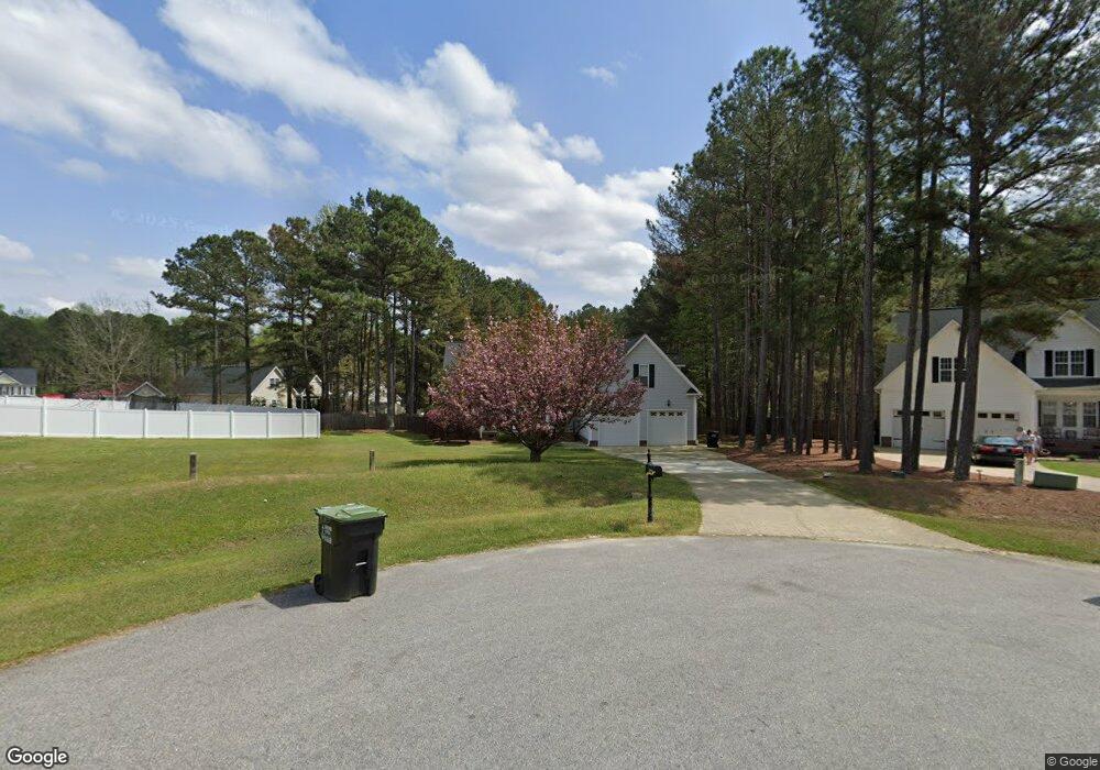
279 W Thicket Dr Angier, NC 27501
Pleasant Grove NeighborhoodEstimated Value: $402,360 - $435,000
3
Beds
2
Baths
2,378
Sq Ft
$174/Sq Ft
Est. Value
About This Home
This home is located at 279 W Thicket Dr, Angier, NC 27501 and is currently estimated at $413,090, approximately $173 per square foot. 279 W Thicket Dr is a home located in Johnston County with nearby schools including McGee's Crossroads Elementary School, McGee's Crossroads Middle School, and West Johnston High School.
Ownership History
Date
Name
Owned For
Owner Type
Purchase Details
Closed on
Sep 21, 2018
Sold by
Palmer Lauren
Bought by
Inzaina John R and Inzaina Beverly A
Current Estimated Value
Purchase Details
Closed on
Jan 17, 2006
Sold by
Stephenson Randy T and Stephenson Bonnie M
Bought by
Palmer Jason and Palmer Lauren
Home Financials for this Owner
Home Financials are based on the most recent Mortgage that was taken out on this home.
Original Mortgage
$150,000
Interest Rate
5.75%
Mortgage Type
Fannie Mae Freddie Mac
Create a Home Valuation Report for This Property
The Home Valuation Report is an in-depth analysis detailing your home's value as well as a comparison with similar homes in the area
Home Values in the Area
Average Home Value in this Area
Purchase History
| Date | Buyer | Sale Price | Title Company |
|---|---|---|---|
| Inzaina John R | $240,000 | None Available | |
| Palmer Jason | $230,000 | None Available |
Source: Public Records
Mortgage History
| Date | Status | Borrower | Loan Amount |
|---|---|---|---|
| Previous Owner | Palmer Jason | $150,000 |
Source: Public Records
Tax History Compared to Growth
Tax History
| Year | Tax Paid | Tax Assessment Tax Assessment Total Assessment is a certain percentage of the fair market value that is determined by local assessors to be the total taxable value of land and additions on the property. | Land | Improvement |
|---|---|---|---|---|
| 2025 | $2,503 | $394,140 | $80,000 | $314,140 |
| 2024 | $1,948 | $240,490 | $38,000 | $202,490 |
| 2023 | $1,888 | $240,490 | $38,000 | $202,490 |
| 2022 | $1,948 | $240,490 | $38,000 | $202,490 |
| 2021 | $1,948 | $240,490 | $38,000 | $202,490 |
| 2020 | $2,020 | $240,490 | $38,000 | $202,490 |
| 2019 | $1,972 | $240,490 | $38,000 | $202,490 |
| 2018 | $0 | $214,930 | $30,000 | $184,930 |
| 2017 | $1,805 | $214,930 | $30,000 | $184,930 |
| 2016 | $1,805 | $214,930 | $30,000 | $184,930 |
| 2015 | $1,805 | $214,930 | $30,000 | $184,930 |
| 2014 | $1,805 | $214,930 | $30,000 | $184,930 |
Source: Public Records
Map
Nearby Homes
- 273 Star Valley Dr
- 16622 N Carolina 210
- 170 Parrish Landing Way
- 97 Edmund Dr
- 71 Suzanne Dr
- 105 Pinecrest Dr
- 830 Wiggins Rd
- 197 Silverside Dr
- 3002 Red Cir
- 15 Cedar Falls Way
- 365 Landmark Rd
- 506 Harbor Cove Dr
- 410 Penwood Rd
- 206 West Rd
- 0 Massengill Pond Rd
- Davidson Plan at Cedar Ridge
- Cypress Plan at Cedar Ridge
- McDowell Plan at Cedar Ridge
- Hamilton Plan at Cedar Ridge
- Colfax Plan at Cedar Ridge
- 283 W Thicket Dr
- 112 Round Pond Cir
- 265 W Thicket Dr
- 96 Round Pond Cir
- 118 Round Pond Cir
- 233 W Thicket Dr
- 54 Round Pond Cir
- 264 W Thicket Dr
- 278 W Thicket Dr
- 248 W Thicket Dr
- 117 Round Pond
- 117 Round Pond Cir
- 28 Round Pond Cir
- 28 W Thicket Dr
- 107 Round Pond Cir
- 81 Round Pond Cir
- 222 W Thicket Dr
- 65 Round Pond Cir
- 16781 Nc 210 Hwy
- 214 W Thicket Dr