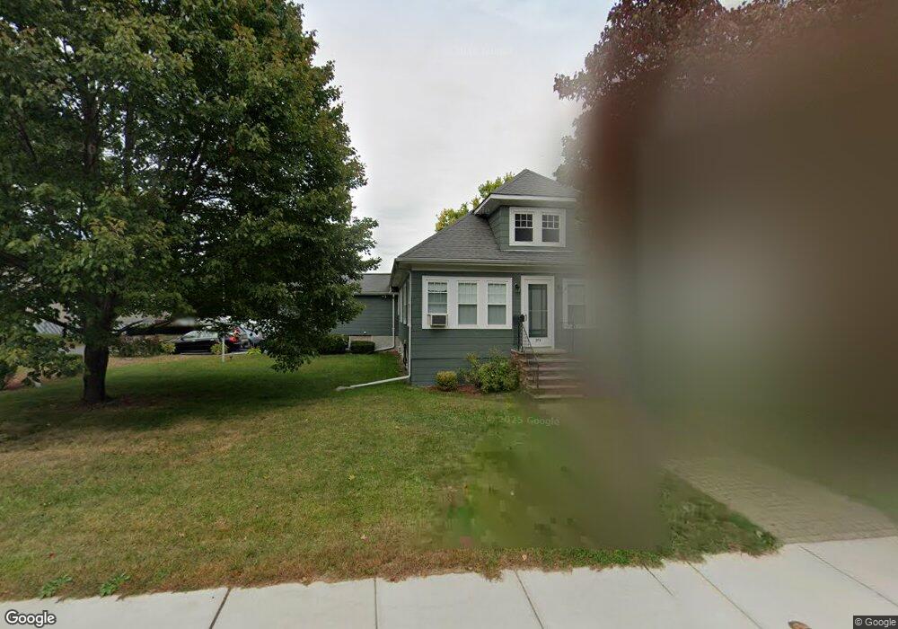
279 William St Stoneham, MA 02180
Lindenwood NeighborhoodEstimated Value: $709,000 - $858,000
3
Beds
2
Baths
1,786
Sq Ft
$441/Sq Ft
Est. Value
About This Home
This home is located at 279 William St, Stoneham, MA 02180 and is currently estimated at $787,259, approximately $440 per square foot. 279 William St is a home located in Middlesex County with nearby schools including Stoneham High School, St. Patrick Elementary School, and Greater Boston Academy.
Ownership History
Date
Name
Owned For
Owner Type
Purchase Details
Closed on
Oct 16, 1995
Sold by
Mchale James F
Bought by
Cox Joseph R and Cox Karen L
Current Estimated Value
Home Financials for this Owner
Home Financials are based on the most recent Mortgage that was taken out on this home.
Original Mortgage
$110,000
Interest Rate
7.71%
Mortgage Type
Purchase Money Mortgage
Purchase Details
Closed on
Jul 31, 1992
Sold by
Hallion Howard F and Hallion Brenda
Bought by
Carter James M
Create a Home Valuation Report for This Property
The Home Valuation Report is an in-depth analysis detailing your home's value as well as a comparison with similar homes in the area
Home Values in the Area
Average Home Value in this Area
Purchase History
| Date | Buyer | Sale Price | Title Company |
|---|---|---|---|
| Cox Joseph R | $140,000 | -- | |
| Cox Joseph R | $140,000 | -- | |
| Carter James M | $145,500 | -- | |
| Carter James M | $145,500 | -- |
Source: Public Records
Mortgage History
| Date | Status | Borrower | Loan Amount |
|---|---|---|---|
| Open | Carter James M | $224,000 | |
| Closed | Carter James M | $110,000 | |
| Closed | Carter James M | $110,000 |
Source: Public Records
Tax History Compared to Growth
Tax History
| Year | Tax Paid | Tax Assessment Tax Assessment Total Assessment is a certain percentage of the fair market value that is determined by local assessors to be the total taxable value of land and additions on the property. | Land | Improvement |
|---|---|---|---|---|
| 2025 | $6,218 | $607,800 | $380,200 | $227,600 |
| 2024 | $6,078 | $573,900 | $350,200 | $223,700 |
| 2023 | $6,037 | $543,900 | $320,200 | $223,700 |
| 2022 | $5,321 | $511,100 | $300,200 | $210,900 |
| 2021 | $4,533 | $484,200 | $280,200 | $204,000 |
| 2020 | $4,392 | $485,000 | $280,200 | $204,800 |
| 2019 | $5,214 | $464,700 | $260,200 | $204,500 |
| 2018 | $4,861 | $422,400 | $230,200 | $192,200 |
| 2017 | $3,924 | $417,700 | $230,200 | $187,500 |
| 2016 | $4,768 | $375,400 | $215,200 | $160,200 |
| 2015 | $4,721 | $364,300 | $215,200 | $149,100 |
| 2014 | $4,620 | $342,500 | $205,200 | $137,300 |
Source: Public Records
Map
Nearby Homes
- 20 Oak St
- 49 Butler Ave
- 159 Main St Unit 41C
- 159 Main St Unit 12B
- 12 Cottage St
- 1 Tremont St
- 200 Ledgewood Dr Unit 505
- 100 Ledgewood Dr Unit 117
- 8 Steele St
- 21 Tremont St Unit A
- 97 Oak St
- 35 Wright St
- 62 High St Unit Lot 8
- 62 High St Unit 4
- 62 High St Unit Lot 5
- 66 Main St Unit 16A
- 12 Isola Ln
- 64 Main St Unit 41B
- 6 Sherman Rd
- 6 Stratton Dr Unit 307
- 277 William St
- 271 William St
- 278 William St
- 286 William St
- 4 Unicorn Ave
- 3 Christine Ave
- 2 Christine Ave
- 6 Unicorn Ave
- 291 William St
- 263 William St
- 290 William St
- 259 William St
- 2 Country Club Rd
- 3 Country Club Rd
- 4 Country Club Rd
- 4 Christine Ave
- 1 Unicorn Ave
- 8 Unicorn Ave
- 256 William St
- 301 William St