279 Willis Rd Sharpsburg, GA 30277
Estimated Value: $266,606 - $341,000
2
Beds
1
Bath
1,776
Sq Ft
$173/Sq Ft
Est. Value
About This Home
This home is located at 279 Willis Rd, Sharpsburg, GA 30277 and is currently estimated at $307,652, approximately $173 per square foot. 279 Willis Rd is a home located in Coweta County with nearby schools including Willis Road Elementary School, Lee Middle School, and East Coweta High School.
Ownership History
Date
Name
Owned For
Owner Type
Purchase Details
Closed on
Jul 18, 2012
Sold by
Vickery Billy J and Vickery Brenda Gail
Bought by
Vickery Billy J and Vickery Brenda Gail
Current Estimated Value
Purchase Details
Closed on
Feb 15, 2001
Sold by
Vickery Billy J
Bought by
Vickery Billy J and Vickery Brenda G
Home Financials for this Owner
Home Financials are based on the most recent Mortgage that was taken out on this home.
Original Mortgage
$71,000
Interest Rate
6.91%
Mortgage Type
New Conventional
Purchase Details
Closed on
Mar 31, 1986
Bought by
Vickery Billy J and Vickery Br
Create a Home Valuation Report for This Property
The Home Valuation Report is an in-depth analysis detailing your home's value as well as a comparison with similar homes in the area
Home Values in the Area
Average Home Value in this Area
Purchase History
| Date | Buyer | Sale Price | Title Company |
|---|---|---|---|
| Vickery Billy J | -- | -- | |
| Vickery Billy J | -- | -- | |
| Vickery Billy J | -- | -- | |
| Vickery Billy J | $40,200 | -- |
Source: Public Records
Mortgage History
| Date | Status | Borrower | Loan Amount |
|---|---|---|---|
| Previous Owner | Vickery Billy J | $71,000 |
Source: Public Records
Tax History Compared to Growth
Tax History
| Year | Tax Paid | Tax Assessment Tax Assessment Total Assessment is a certain percentage of the fair market value that is determined by local assessors to be the total taxable value of land and additions on the property. | Land | Improvement |
|---|---|---|---|---|
| 2025 | $640 | $86,100 | $13,104 | $72,996 |
| 2024 | $564 | $81,954 | $12,247 | $69,707 |
| 2023 | $564 | $89,026 | $11,340 | $77,686 |
| 2022 | $442 | $60,905 | $11,340 | $49,565 |
| 2021 | $438 | $57,386 | $10,800 | $46,586 |
| 2020 | $438 | $57,386 | $10,800 | $46,586 |
| 2019 | $352 | $40,966 | $12,170 | $28,795 |
| 2018 | $355 | $40,966 | $12,170 | $28,795 |
| 2017 | $354 | $40,966 | $12,170 | $28,796 |
| 2016 | $344 | $40,966 | $12,170 | $28,795 |
| 2015 | $1,035 | $40,966 | $12,170 | $28,795 |
| 2014 | $1,029 | $40,966 | $12,170 | $28,795 |
Source: Public Records
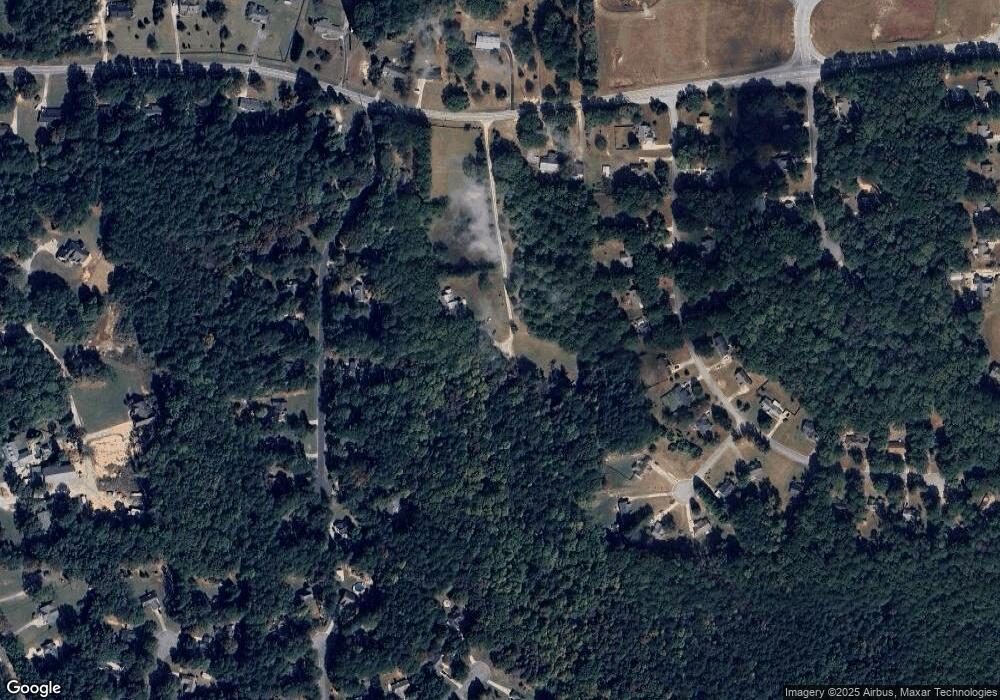
Map
Nearby Homes
- 25 Chemin Place
- 180 Saint James Place
- 25 Lentry Dr
- 0 Highway 154 Unit 10470800
- 140 Halo Trace
- 21 Lake Park Ct
- 250 Bob Smith Rd
- 196 Bob Smith Rd
- 20 Beaver Creek Ln
- 0 Bob Smith Rd Unit 10562838
- 1367 Sharpsburg McCollum Rd
- 8 Chiefs Trail
- 131 Pecan Lake Dr
- 50 Kay Ct
- 214 Northwynn Dr
- 138 Main St
- 1 Mcintosh Trail
- 7483 Highway 54
- 270 Sturgess Run
- 51 Christopher Rd
- 19 Saint James Place
- 15 Saint James Place
- 15 Saint James Place Unit 1
- 0 Willis Rd Unit 20011498
- 0 Willis Rd Unit 8762145
- 33 Saint James Place
- 18 Saint James Place
- 10 Tralee Trace
- 69 Saint James Place
- 22 Saint James Place
- 36 Saint James Place
- 253 Willis Rd
- 224 Willis Rd
- 0 Saint James Place Unit 8457315
- 0 Saint James Place Unit 7167271
- 0 Saint James Place
- 73 Saint James Place
- 74 Saint James Place
- 30 Tralee Trace
- 15 Soliel Ct