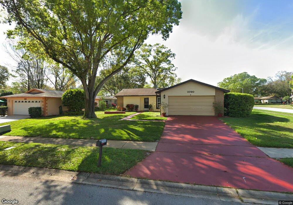
2790 Lomond Dr Palm Harbor, FL 34684
Estimated Value: $349,000 - $398,840
2
Beds
2
Baths
1,385
Sq Ft
$271/Sq Ft
Est. Value
About This Home
This home is located at 2790 Lomond Dr, Palm Harbor, FL 34684 and is currently estimated at $375,710, approximately $271 per square foot. 2790 Lomond Dr is a home located in Pinellas County with nearby schools including Highland Lakes Elementary School, Joseph L. Carwise Middle School, and Palm Harbor University High.
Ownership History
Date
Name
Owned For
Owner Type
Purchase Details
Closed on
Oct 31, 2003
Sold by
Waldt Donald P and Waldt Pauline
Bought by
Aguis Anthony J and Aguis Barbara
Current Estimated Value
Home Financials for this Owner
Home Financials are based on the most recent Mortgage that was taken out on this home.
Original Mortgage
$110,400
Outstanding Balance
$43,102
Interest Rate
3.75%
Mortgage Type
Purchase Money Mortgage
Estimated Equity
$332,608
Purchase Details
Closed on
Aug 26, 2003
Sold by
Choyke Beatrice and Choyke Richard
Bought by
Waldt Donald P and Waldt Pauline
Create a Home Valuation Report for This Property
The Home Valuation Report is an in-depth analysis detailing your home's value as well as a comparison with similar homes in the area
Home Values in the Area
Average Home Value in this Area
Purchase History
| Date | Buyer | Sale Price | Title Company |
|---|---|---|---|
| Aguis Anthony J | $138,000 | -- | |
| Waldt Donald P | $116,000 | -- |
Source: Public Records
Mortgage History
| Date | Status | Borrower | Loan Amount |
|---|---|---|---|
| Open | Aguis Anthony J | $110,400 |
Source: Public Records
Tax History Compared to Growth
Tax History
| Year | Tax Paid | Tax Assessment Tax Assessment Total Assessment is a certain percentage of the fair market value that is determined by local assessors to be the total taxable value of land and additions on the property. | Land | Improvement |
|---|---|---|---|---|
| 2024 | $1,424 | $118,497 | -- | -- |
| 2023 | $1,424 | $115,046 | $0 | $0 |
| 2022 | $1,366 | $111,695 | $0 | $0 |
| 2021 | $1,358 | $108,442 | $0 | $0 |
| 2020 | $1,348 | $106,945 | $0 | $0 |
| 2019 | $1,317 | $104,541 | $0 | $0 |
| 2018 | $1,291 | $102,592 | $0 | $0 |
| 2017 | $1,271 | $100,482 | $0 | $0 |
| 2016 | $1,252 | $98,415 | $0 | $0 |
| 2015 | $1,272 | $97,731 | $0 | $0 |
| 2014 | $1,262 | $96,955 | $0 | $0 |
Source: Public Records
Map
Nearby Homes
- 2820 Lomond Dr
- 1130 Orange Tree Cir W Unit C
- 1131 Orange Tree Cir W Unit C
- 1160 Orange Tree Cir W Unit D
- 1163 Orange Tree Cir W Unit D
- 1107 Queen Anne Dr Unit D
- 2740 Whitebridge Dr Unit A
- 2700 Nebraska Ave Unit 3-201
- 2700 Nebraska Ave Unit 5-101
- 2700 Nebraska Ave Unit 2-203
- 1472 Queen Anne Dr
- 2828 Sherbrooke Ln Unit C
- 2722 Sherbrooke Ln Unit D
- 2738 Sherbrooke Ln Unit C
- 2846 Highlands Blvd Unit D
- 2711 Sherbrooke Ln Unit B
- 2836 Highlands Blvd Unit A
- 2719 Sherbrooke Ln Unit C
- 2739 Sherbrooke Ln Unit B
- 2735 Sherbrooke Ln Unit A
- 2796 Lomond Dr
- 1439 Queen Anne Blvd
- 1441 Queen Anne Blvd
- 2778 Lomond Dr
- 2802 Lomond Dr
- 2791 Lomond Dr
- 1435 Queen Anne Blvd
- 2797 Lomond Dr
- 2785 Lomond Dr
- 1443 Queen Anne Blvd
- 2772 Lomond Dr
- 2779 Lomond Dr
- 2808 Lomond Dr
- 2803 Lomond Dr
- 1445 Queen Anne Blvd
- 1023 Mctavish Way
- 1433 Queen Anne Blvd
- 2773 Lomond Dr
- 2766 Lomond Dr
- 2809 Lomond Dr