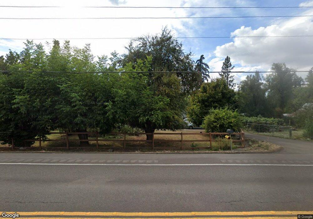
27905 S Highway 213 Mulino, OR 97042
Estimated Value: $530,000 - $732,000
5
Beds
2
Baths
2,208
Sq Ft
$283/Sq Ft
Est. Value
About This Home
This home is located at 27905 S Highway 213, Mulino, OR 97042 and is currently estimated at $624,153, approximately $282 per square foot. 27905 S Highway 213 is a home located in Clackamas County with nearby schools including Country Christian School and Oregon Outreach - Molalla Pride.
Ownership History
Date
Name
Owned For
Owner Type
Purchase Details
Closed on
May 1, 2017
Sold by
Rudolph Andrew P and Castleton Syndney E
Bought by
State Of Oregon and Department Of Transportation
Current Estimated Value
Purchase Details
Closed on
Aug 7, 1997
Sold by
Fort Michael G and Fort Rebecca J
Bought by
Rudolph Andrew P and Castleton Sydney E
Home Financials for this Owner
Home Financials are based on the most recent Mortgage that was taken out on this home.
Original Mortgage
$125,000
Interest Rate
7.57%
Purchase Details
Closed on
Dec 26, 1995
Sold by
Josi Beth D
Bought by
Fort Michael G and Haynie Rebecca J
Home Financials for this Owner
Home Financials are based on the most recent Mortgage that was taken out on this home.
Original Mortgage
$142,400
Interest Rate
7.37%
Create a Home Valuation Report for This Property
The Home Valuation Report is an in-depth analysis detailing your home's value as well as a comparison with similar homes in the area
Home Values in the Area
Average Home Value in this Area
Purchase History
| Date | Buyer | Sale Price | Title Company |
|---|---|---|---|
| State Of Oregon | $13,050 | None Available | |
| Rudolph Andrew P | $160,000 | Oregon Title Insurance Co | |
| Fort Michael G | $149,950 | Chicago Title Insurance Co |
Source: Public Records
Mortgage History
| Date | Status | Borrower | Loan Amount |
|---|---|---|---|
| Previous Owner | Rudolph Andrew P | $125,000 | |
| Previous Owner | Fort Michael G | $142,400 |
Source: Public Records
Tax History Compared to Growth
Tax History
| Year | Tax Paid | Tax Assessment Tax Assessment Total Assessment is a certain percentage of the fair market value that is determined by local assessors to be the total taxable value of land and additions on the property. | Land | Improvement |
|---|---|---|---|---|
| 2025 | $3,451 | $229,574 | -- | -- |
| 2024 | $3,342 | $222,888 | -- | -- |
| 2023 | $3,342 | $216,397 | $0 | $0 |
| 2022 | $2,827 | $210,095 | $0 | $0 |
| 2021 | $2,703 | $203,976 | $0 | $0 |
| 2020 | $2,629 | $198,035 | $0 | $0 |
| 2019 | $2,552 | $192,267 | $0 | $0 |
| 2018 | $2,482 | $186,667 | $0 | $0 |
| 2017 | $2,351 | $181,230 | $0 | $0 |
| 2016 | $2,226 | $176,853 | $0 | $0 |
| 2015 | $2,163 | $171,702 | $0 | $0 |
| 2014 | $2,093 | $166,701 | $0 | $0 |
Source: Public Records
Map
Nearby Homes
- 14001 S Union Mills Rd
- 28502 S Highway 213
- 28502 Oregon 213
- 13920 S Lucia Ln
- 0 S Ranch Hills Rd
- 26740 S Fish Rd
- 26684 S Fish Rd
- 26250 S Milk Creek Cir
- 15441 S Union Mills Rd
- 12051 S Riggs Damm Rd
- 12403 S Eby Rd
- 13511 S Freeman Rd
- 29891 S Highway 213
- 29333 S Marshall Rd
- 11600 S Emerson Rd
- 14980 S Buckner Creek Rd
- 28381 S Salo Rd
- 12192 S Mulino Rd
- 15693 S Hidden Rd
- 0 S MacKsburg Rd
- 27945 S Highway 213
- 27948 S Highway 213
- 27890 S Highway 213
- 27952 S Highway 213
- 27987 S Highway 213
- 27987 S Hwy 213-Relisted Unit 1
- 27987 S Hwy 213relisted Unit 1
- 27987 S Highway 213
- 27987 S Hwy 213 Unit 1
- 27987 S Relisted
- 27810 S Highway 213
- 13955 S Union Mills Rd
- 27807 S Highway 213
- 27716 S Highway 213
- 27701 S Highway 213
- 13990 S Union Mills Rd
- 27700 S Highway 213
- 27695 S Highway 213
- 14022 S Union Mills Rd
- 27692 S Highway 213
