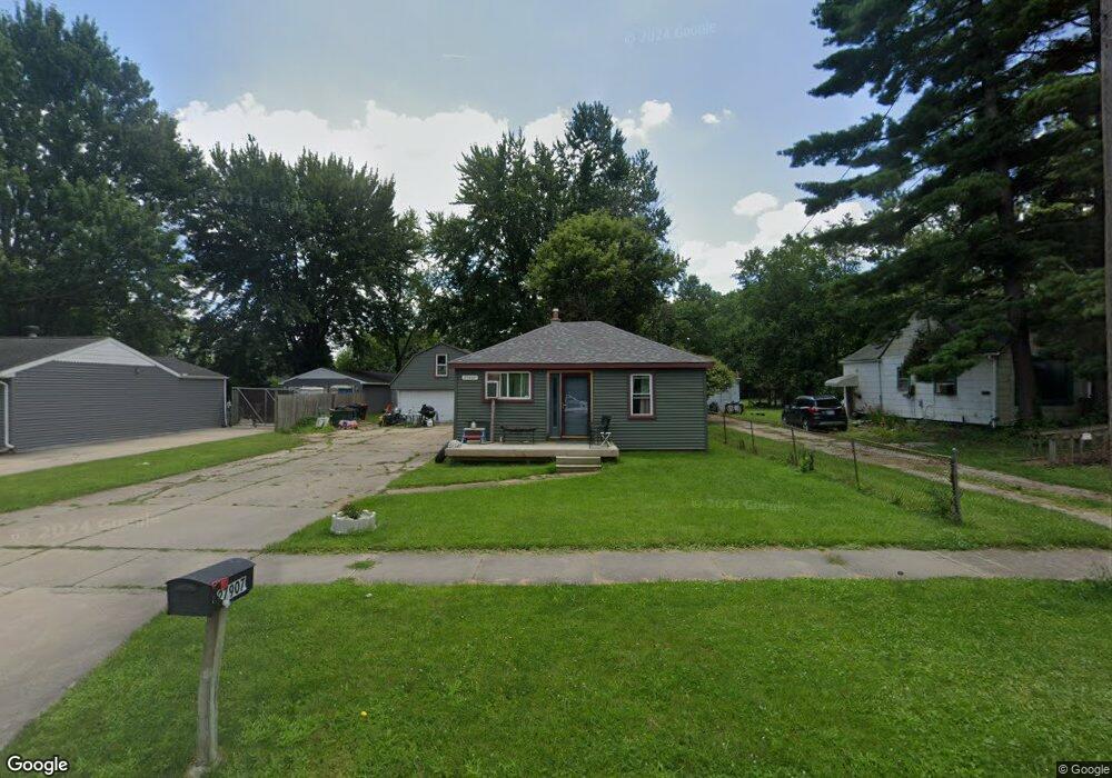
27907 Hanover Blvd Westland, MI 48186
Estimated Value: $60,000 - $141,636
--
Bed
1
Bath
962
Sq Ft
$121/Sq Ft
Est. Value
About This Home
This home is located at 27907 Hanover Blvd, Westland, MI 48186 and is currently estimated at $116,159, approximately $120 per square foot. 27907 Hanover Blvd is a home located in Wayne County with nearby schools including Taylor Parks Elementary School, Hoover Middle School, and Taylor High School.
Ownership History
Date
Name
Owned For
Owner Type
Purchase Details
Closed on
Sep 8, 2020
Sold by
Pennymac Loan Services Llc
Bought by
Morgan Lloyd Thomas and Morgan David Uhriahar
Current Estimated Value
Purchase Details
Closed on
Jul 8, 2020
Sold by
Pennymac Loan Services Llc
Bought by
Morgan Lloyd Thomas and Morgan David Uhriahar
Purchase Details
Closed on
Aug 1, 2019
Sold by
Reid Anthony L and Countrywide Home Loans Inc
Bought by
Pennymac Loan Services Llc
Purchase Details
Closed on
Aug 19, 1997
Sold by
Carrion Kimberly and Carrion Sixto
Bought by
Anthony L Reid
Create a Home Valuation Report for This Property
The Home Valuation Report is an in-depth analysis detailing your home's value as well as a comparison with similar homes in the area
Home Values in the Area
Average Home Value in this Area
Purchase History
| Date | Buyer | Sale Price | Title Company |
|---|---|---|---|
| Morgan Lloyd Thomas | $38,007 | Servicelink | |
| Morgan Lloyd Thomas | $38,007 | Servicelink | |
| Morgan Lloyd Thomas | $38,007 | Servicelink Llc | |
| Pennymac Loan Services Llc | $41,250 | None Available | |
| Anthony L Reid | $62,000 | -- |
Source: Public Records
Tax History Compared to Growth
Tax History
| Year | Tax Paid | Tax Assessment Tax Assessment Total Assessment is a certain percentage of the fair market value that is determined by local assessors to be the total taxable value of land and additions on the property. | Land | Improvement |
|---|---|---|---|---|
| 2025 | $2,042 | $59,000 | $0 | $0 |
| 2024 | $2,042 | $57,400 | $0 | $0 |
| 2023 | $2,048 | $46,700 | $0 | $0 |
| 2022 | $2,199 | $37,900 | $0 | $0 |
| 2021 | $2,095 | $31,900 | $0 | $0 |
| 2020 | $1,884 | $24,500 | $0 | $0 |
| 2019 | $2,741 | $21,200 | $0 | $0 |
| 2018 | $1,427 | $19,300 | $0 | $0 |
| 2017 | $1,606 | $17,100 | $0 | $0 |
| 2016 | $2,124 | $17,300 | $0 | $0 |
| 2015 | $1,677 | $16,950 | $0 | $0 |
| 2013 | $1,730 | $17,850 | $0 | $0 |
| 2012 | $717 | $17,960 | $0 | $0 |
Source: Public Records
Map
Nearby Homes
- 27523 Powers St
- POWERS Powers St
- 5526 Sylvia St
- 6018 Frederick St Unit 83
- 6002 Frederick St Unit 81
- 6211 Inkster Rd
- 6221 Inkster Rd
- 5926 Esther St
- 28654 N Maple St Unit 131
- 5898 W Maple St Unit 177
- 6041 W Maple St Unit 144
- 5912 Georgia Unit 212
- 28919 Powers St
- 4133 Moore St
- 6040 Georgia Unit 225
- 28951 Powers St
- 5970 John Daly St
- 27285 Colgate St
- 4120 Ash St
- 4863 Glenis St
- 27577 Hanover Blvd
- 27923 Hanover Blvd
- 27561 Hanover Blvd
- 27937 Hanover Blvd
- 27949 Hanover Blvd
- 27551 Hanover Blvd
- 27539 Hanover Blvd
- 27961 Hanover Blvd
- 27560 Hanover Blvd
- 27578 van Born Rd
- 27932 van Born Rd
- 27940 Hanover Blvd
- 27906 Hanover Blvd
- 27552 Hanover Blvd
- 27946 Hanover Blvd
- 27531 Hanover Blvd
- 27544 van Born Rd
- 27985 Hanover Blvd
- 27920 Hanover Blvd
- 27960 Hanover Blvd