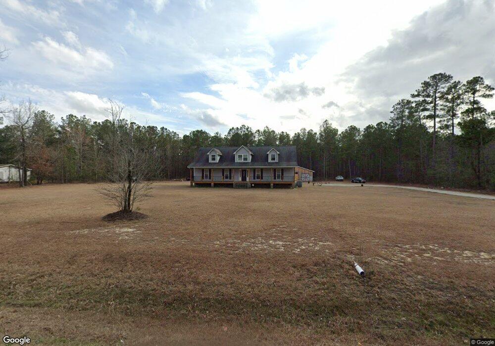
2791 Nc Highway 20 Saint Pauls, NC 28384
Estimated Value: $164,000 - $292,000
--
Bed
--
Bath
1,856
Sq Ft
$125/Sq Ft
Est. Value
About This Home
This home is located at 2791 Nc Highway 20, Saint Pauls, NC 28384 and is currently estimated at $231,122, approximately $124 per square foot. 2791 Nc Highway 20 is a home with nearby schools including Plain View Primary School, Tar Heel Middle School, and West Bladen High School.
Ownership History
Date
Name
Owned For
Owner Type
Purchase Details
Closed on
Jun 14, 2011
Sold by
Kenny Sharan M and Kenny Patrick H
Bought by
Kenny Patrick H
Current Estimated Value
Home Financials for this Owner
Home Financials are based on the most recent Mortgage that was taken out on this home.
Original Mortgage
$37,000
Interest Rate
4.57%
Mortgage Type
New Conventional
Create a Home Valuation Report for This Property
The Home Valuation Report is an in-depth analysis detailing your home's value as well as a comparison with similar homes in the area
Home Values in the Area
Average Home Value in this Area
Purchase History
| Date | Buyer | Sale Price | Title Company |
|---|---|---|---|
| Kenny Patrick H | -- | -- |
Source: Public Records
Mortgage History
| Date | Status | Borrower | Loan Amount |
|---|---|---|---|
| Closed | Kenny Patrick H | $37,000 |
Source: Public Records
Tax History Compared to Growth
Tax History
| Year | Tax Paid | Tax Assessment Tax Assessment Total Assessment is a certain percentage of the fair market value that is determined by local assessors to be the total taxable value of land and additions on the property. | Land | Improvement |
|---|---|---|---|---|
| 2025 | $1,525 | $172,350 | $14,100 | $158,250 |
| 2024 | $1,525 | $172,350 | $14,100 | $158,250 |
| 2023 | $1,659 | $172,350 | $14,100 | $158,250 |
| 2022 | $1,439 | $172,350 | $14,100 | $158,250 |
| 2021 | $1,396 | $160,490 | $14,100 | $146,390 |
| 2020 | $1,396 | $160,490 | $14,100 | $146,390 |
| 2019 | $1,396 | $160,490 | $14,100 | $146,390 |
| 2018 | $1,396 | $160,490 | $14,100 | $146,390 |
| 2017 | $1,356 | $160,490 | $14,100 | $146,390 |
| 2015 | $119 | $259,220 | $14,100 | $245,120 |
| 2014 | $249 | $15,500 | $15,500 | $0 |
| 2013 | -- | $15,500 | $15,500 | $0 |
Source: Public Records
Map
Nearby Homes
- 7136 Chicken Foot Rd
- 7166 Chicken Foot Rd
- 7196 Chicken Foot Rd
- 7840 Rufus Johnson Rd
- 7810 Rufus Johnson Rd
- 5518 Tolarsville Rd
- 5524 Tolarsville Rd
- 7680 Rufus Johnson Rd
- 223 Broadwell Rd
- 5512 Tolarsville Rd
- 2879 County Line Rd
- 84 Ryegrass Rd
- 28 Bermuda Dr
- 8509 Independence Dr
- 6944 Point East Dr
- 2677 N Carolina 20
- 2641 N Carolina 20
- 3814 Crittercreek Rd
- 8413 Brightleaf Place
- 3729 Riverhill Dr
- 2818 Nc Highway 20
- 2824 Nc Highway 20
- 0 Nc 20 Unit 100346997
- 2713 Nc Highway 20
- 0 Nc Highway 20 Unit 2219764
- 2750 Nc Highway 20
- 2697 Nc Highway 20
- 0 (Lot 3) 2697 Nc Highway 20 W Unit LP672875
- 544 Nc Highway 20
- 2604 Nc Highway 20
- 3006 Nc Highway 20
- 2582 Nc Highway 20
- 3042 Nc Highway 20
- 3107 Nc Highway 20
- 2444 Nc Highway 20
- 2197 Old Nc 20 Rd
- 6492 Chickenfoot Rd
- 6510 Chickenfoot Rd
- 20136 Nc Highway 87 W
- 20134 Nc Highway 87 W