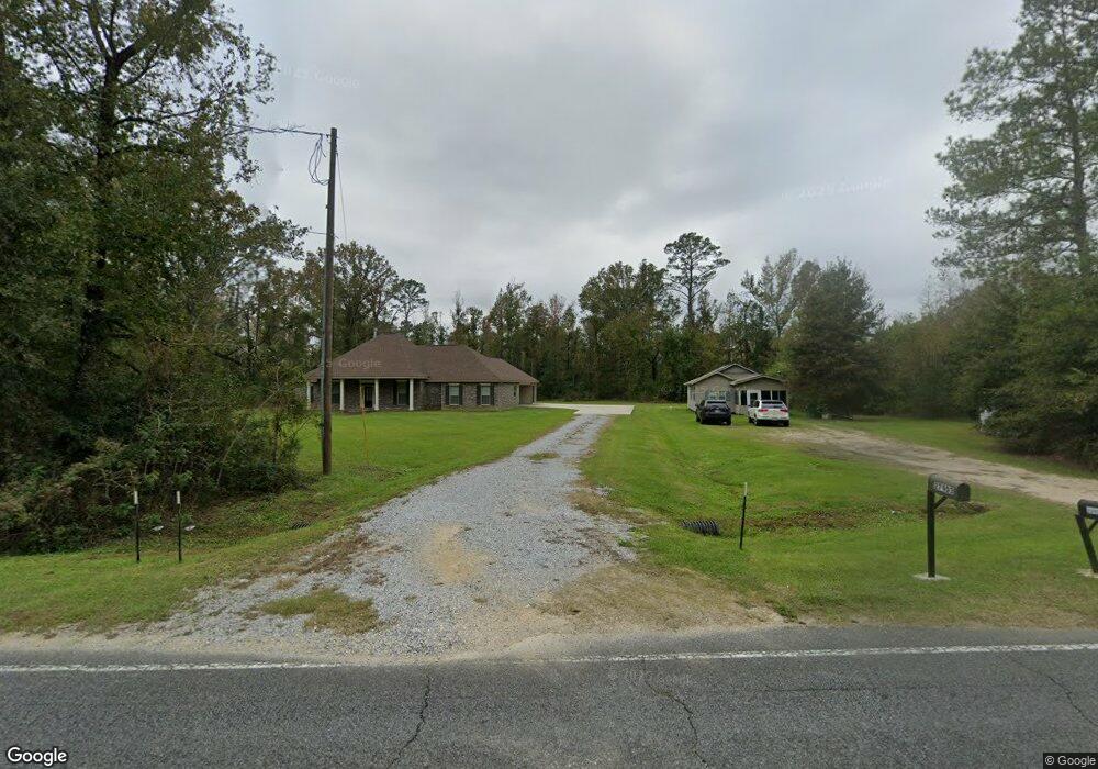
27913 Highway 22 Springfield, LA 70462
Estimated Value: $208,000 - $284,000
2
Beds
1
Bath
876
Sq Ft
$288/Sq Ft
Est. Value
About This Home
This home is located at 27913 Highway 22, Springfield, LA 70462 and is currently estimated at $252,033, approximately $287 per square foot. 27913 Highway 22 is a home located in Livingston Parish with nearby schools including Springfield Elementary School, Springfield Middle School, and Springfield High School.
Ownership History
Date
Name
Owned For
Owner Type
Purchase Details
Closed on
Mar 9, 2007
Sold by
Mcalpine Delandro Jr Charlie and Mcalpine Delandro Mary
Bought by
Womack Johnny Lee and Womack Shantel Marra Ashton
Current Estimated Value
Home Financials for this Owner
Home Financials are based on the most recent Mortgage that was taken out on this home.
Original Mortgage
$52,500
Outstanding Balance
$31,778
Interest Rate
6.26%
Mortgage Type
New Conventional
Estimated Equity
$220,256
Create a Home Valuation Report for This Property
The Home Valuation Report is an in-depth analysis detailing your home's value as well as a comparison with similar homes in the area
Home Values in the Area
Average Home Value in this Area
Purchase History
| Date | Buyer | Sale Price | Title Company |
|---|---|---|---|
| Womack Johnny Lee | $52,500 | None Available |
Source: Public Records
Mortgage History
| Date | Status | Borrower | Loan Amount |
|---|---|---|---|
| Open | Womack Johnny Lee | $52,500 |
Source: Public Records
Tax History
| Year | Tax Paid | Tax Assessment Tax Assessment Total Assessment is a certain percentage of the fair market value that is determined by local assessors to be the total taxable value of land and additions on the property. | Land | Improvement |
|---|---|---|---|---|
| 2024 | $2,470 | $28,421 | $1,761 | $26,660 |
| 2023 | $1,765 | $20,510 | $1,710 | $18,800 |
| 2022 | $1,942 | $20,510 | $1,710 | $18,800 |
| 2021 | $670 | $7,050 | $1,710 | $5,340 |
| 2020 | $666 | $7,050 | $1,710 | $5,340 |
| 2019 | $284 | $2,970 | $1,170 | $1,800 |
| 2018 | $284 | $2,970 | $1,170 | $1,800 |
| 2017 | $283 | $2,970 | $1,170 | $1,800 |
| 2015 | $21 | $2,970 | $1,170 | $1,800 |
| 2014 | $21 | $2,970 | $1,170 | $1,800 |
Source: Public Records
Map
Nearby Homes
- 26400 Ponchatoula Dr
- 18943 Austin St
- 31029 Louisiana 22
- 0 Perrin Ferry Rd Unit 2440838
- Lot 4 Patricia St
- 20272 Lynda Dr
- Lot 7 Lynda Ln
- Lot 11 Lynda Ln
- 20359 Lynda Dr
- 29890 Lower Rome Rd
- 29916 Lower Rome Rd
- 000 Perrin Ferry Rd
- 31427 Judith Dr
- 20442 Johnson Dr
- 20775 Henry Rd
- 20224 Riverside Rd
- 32147 Lower Rome Rd
- 00 Riverside Rd
- 0 Riverside Rd Unit 11288106
- 0 Riverside Rd Unit 24086503
- 27913 Highway 22
- 27913 Highway 22
- 27881 Highway 22
- 27951 Highway 22
- 27932 Highway 22
- 19248 Austin St
- 28000 Highway 22 None
- 30409 Highway 22
- 28149 Highway 22
- 19358 Austin St
- 30250 Wild St
- 19176 Austin St
- 19176 Austin St
- 18920 Austin St
- 19237 Austin St
- 19265 Austin Rd
- 19309 Austin St
- 19309 Austin St
- 28001 La Hwy 22 Parcels Rj2-B Rj2-C and Rj2-D Hwy
- 30415 Highway 22
Your Personal Tour Guide
Ask me questions while you tour the home.