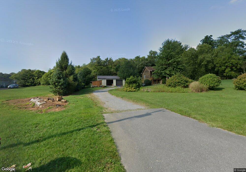
2792 Oak Hill Rd Waynesboro, PA 17268
Estimated Value: $187,792 - $398,000
--
Bed
--
Bath
1,716
Sq Ft
$184/Sq Ft
Est. Value
About This Home
This home is located at 2792 Oak Hill Rd, Waynesboro, PA 17268 and is currently estimated at $315,698, approximately $183 per square foot. 2792 Oak Hill Rd is a home located in Franklin County with nearby schools including Waynesboro Area Senior High School and Providence School - Oak Hill Building.
Ownership History
Date
Name
Owned For
Owner Type
Purchase Details
Closed on
Mar 12, 2015
Sold by
Poper Keith D and Poper Melissa D
Bought by
Poper Keith D
Current Estimated Value
Home Financials for this Owner
Home Financials are based on the most recent Mortgage that was taken out on this home.
Original Mortgage
$149,000
Interest Rate
3.6%
Mortgage Type
New Conventional
Create a Home Valuation Report for This Property
The Home Valuation Report is an in-depth analysis detailing your home's value as well as a comparison with similar homes in the area
Home Values in the Area
Average Home Value in this Area
Purchase History
| Date | Buyer | Sale Price | Title Company |
|---|---|---|---|
| Poper Keith D | -- | None Available |
Source: Public Records
Mortgage History
| Date | Status | Borrower | Loan Amount |
|---|---|---|---|
| Closed | Poper Keith D | $149,000 |
Source: Public Records
Tax History Compared to Growth
Tax History
| Year | Tax Paid | Tax Assessment Tax Assessment Total Assessment is a certain percentage of the fair market value that is determined by local assessors to be the total taxable value of land and additions on the property. | Land | Improvement |
|---|---|---|---|---|
| 2025 | $3,515 | $24,090 | $1,340 | $22,750 |
| 2024 | $3,407 | $24,090 | $1,340 | $22,750 |
| 2023 | $3,313 | $24,090 | $1,340 | $22,750 |
| 2022 | $3,216 | $24,090 | $1,340 | $22,750 |
| 2021 | $3,120 | $24,090 | $1,340 | $22,750 |
| 2020 | $3,120 | $24,090 | $1,340 | $22,750 |
| 2019 | $3,048 | $24,090 | $1,340 | $22,750 |
| 2018 | $2,945 | $24,090 | $1,340 | $22,750 |
| 2017 | $2,879 | $24,090 | $1,340 | $22,750 |
| 2016 | $679 | $23,700 | $1,340 | $22,360 |
| 2015 | $633 | $23,700 | $1,340 | $22,360 |
| 2014 | $633 | $23,700 | $1,340 | $22,360 |
Source: Public Records
Map
Nearby Homes
- 9227 Grindstone Hill Rd
- 8655 Wayne Hwy
- 790 Antrim Ln
- 6159 Orphanage Rd
- 6456 Wayne Hwy
- 5434 Manheim Rd
- 1631 Buchanan Trail E
- 5377 Harrier Way
- 5385 Harrier Way
- 4798 Gray Hawk Dr Unit 17
- TBD Harrier Way
- TBD Whippet Trail
- 12041 Koons Rd
- 1921 Hartzok Rd
- 5490 Honey Rock Ct
- 5118 Burkholder Rd
- 7468 Anthony Hwy
- 4594 Salem Church Rd
- 7290 Angle Rd
- 2846 Oak Hill Rd
- 2839 Oak Hill Rd
- 2763 Oak Hill Rd
- 2887 Oak Hill Rd
- 2739 Oak Hill Rd
- 2890 Oak Hill Rd
- 2720 Oak Hill Rd
- 8536 Fort Stouffer Rd
- 2727 Oak Hill Rd
- 2923 Oak Hill Rd
- 8864 Fort Stouffer Rd
- 2754 Clay Hill Rd
- 8998 Fort Stouffer Rd
- 2965 Oak Hill Rd
- 2882 Clay Hill Rd
- 2840 Clay Hill Rd
- 2999 Oak Hill Rd
- 9108 Fort Stouffer Rd
- 2918 Clay Hill Rd
- 3040 Oak Hill Rd