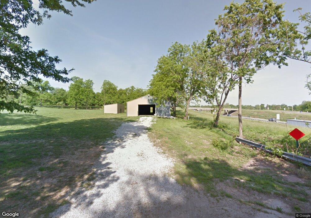
2793 W Farm Road 112 Springfield, MO 65803
Estimated Value: $330,000 - $438,825
3
Beds
3
Baths
2,104
Sq Ft
$177/Sq Ft
Est. Value
About This Home
This home is located at 2793 W Farm Road 112, Springfield, MO 65803 and is currently estimated at $372,942, approximately $177 per square foot. 2793 W Farm Road 112 is a home located in Greene County with nearby schools including Williams Elementary School, Reed Academy, and Hillcrest High School.
Ownership History
Date
Name
Owned For
Owner Type
Purchase Details
Closed on
Dec 6, 2024
Sold by
Sharp Kendall and Sharp Clarissa
Bought by
Missouri Highways And Transportation Commissi
Current Estimated Value
Purchase Details
Closed on
Nov 17, 2022
Sold by
George Carden Llc
Bought by
Sharp Kendall and Sharp Clarissa
Purchase Details
Closed on
Oct 29, 2021
Sold by
Seaton Nancy A
Bought by
Sharp Kendall Lee and Sharp Clarissa Lea
Purchase Details
Closed on
Mar 7, 2014
Sold by
Munsey Dale Bruce
Bought by
George Carden Llc
Purchase Details
Closed on
Jul 14, 2010
Sold by
Munsey Barbara L
Bought by
Munsey Barbara L and Barbara L Munsey Trust
Create a Home Valuation Report for This Property
The Home Valuation Report is an in-depth analysis detailing your home's value as well as a comparison with similar homes in the area
Home Values in the Area
Average Home Value in this Area
Purchase History
| Date | Buyer | Sale Price | Title Company |
|---|---|---|---|
| Missouri Highways And Transportation Commissi | $2,800 | None Listed On Document | |
| Sharp Kendall | -- | -- | |
| Sharp Kendall Lee | -- | None Listed On Document | |
| Sharp Kendall Lee | -- | None Listed On Document | |
| George Carden Llc | -- | Polk County Title Co | |
| Munsey Barbara L | -- | None Available |
Source: Public Records
Tax History Compared to Growth
Tax History
| Year | Tax Paid | Tax Assessment Tax Assessment Total Assessment is a certain percentage of the fair market value that is determined by local assessors to be the total taxable value of land and additions on the property. | Land | Improvement |
|---|---|---|---|---|
| 2025 | $2,047 | $52,210 | $11,420 | $40,790 |
| 2024 | $2,047 | $36,480 | $3,250 | $33,230 |
| 2023 | $2,037 | $36,480 | $3,250 | $33,230 |
| 2022 | $1,860 | $33,560 | $3,250 | $30,310 |
| 2021 | $1,859 | $33,560 | $3,250 | $30,310 |
| 2020 | $1,705 | $29,200 | $3,250 | $25,950 |
| 2019 | $1,655 | $29,200 | $3,250 | $25,950 |
| 2018 | $1,626 | $28,520 | $3,250 | $25,270 |
| 2017 | $1,610 | $26,810 | $3,250 | $23,560 |
| 2016 | $1,511 | $26,810 | $3,250 | $23,560 |
| 2015 | $1,498 | $26,810 | $3,250 | $23,560 |
| 2014 | $1,504 | $26,700 | $3,250 | $23,450 |
Source: Public Records
Map
Nearby Homes
- 2488 W Farm Road 112
- 2613 W Woodlawn St
- 3031 W Augusta Hills St
- 1942 W McCanse St
- Lot 5-6,12 N Fulbright Ave
- 3337 N Colgate Ave
- 2453 N Albertha Ave
- 2440 N Cresthaven Ave
- Lot 1 N Grace Ave
- Lot 13 N Grace Ave
- Lot 3 N Grace Ave
- Lot 2 N Grace Ave
- 2258 N Roosevelt Ave
- 2217 N Grace Ave
- 3319 W Kearney St
- 3340 W Bellaire St
- 2406 W High St
- 2237 N Park Ave
- 3443 W Hestand St
- 3455 W Hestand St
- 3340 W Farm Road 112
- 2735 W Farm Road 112
- 2850 N Farm Road 137
- 2736 W Farm Road 112
- 2811 W Farm Road 112
- 2812 W Farm Road 112
- 2757 W Norton Rd
- 2833 W Farm Road 112
- 2832 W Farm Road 112
- 2757 W Norton Rd
- 2645 W Farm Road 112
- 2778 N Farm Road 137
- 2801 W Norton Rd
- 2631 W Farm Road 112
- 2754 N Oak Park Dr
- 2630 W Farm Road 112
- 2894 W Farm Road 112
- 2623 W Farm Road 112
- 2765 W North St
- 2769 N Oak Park Dr