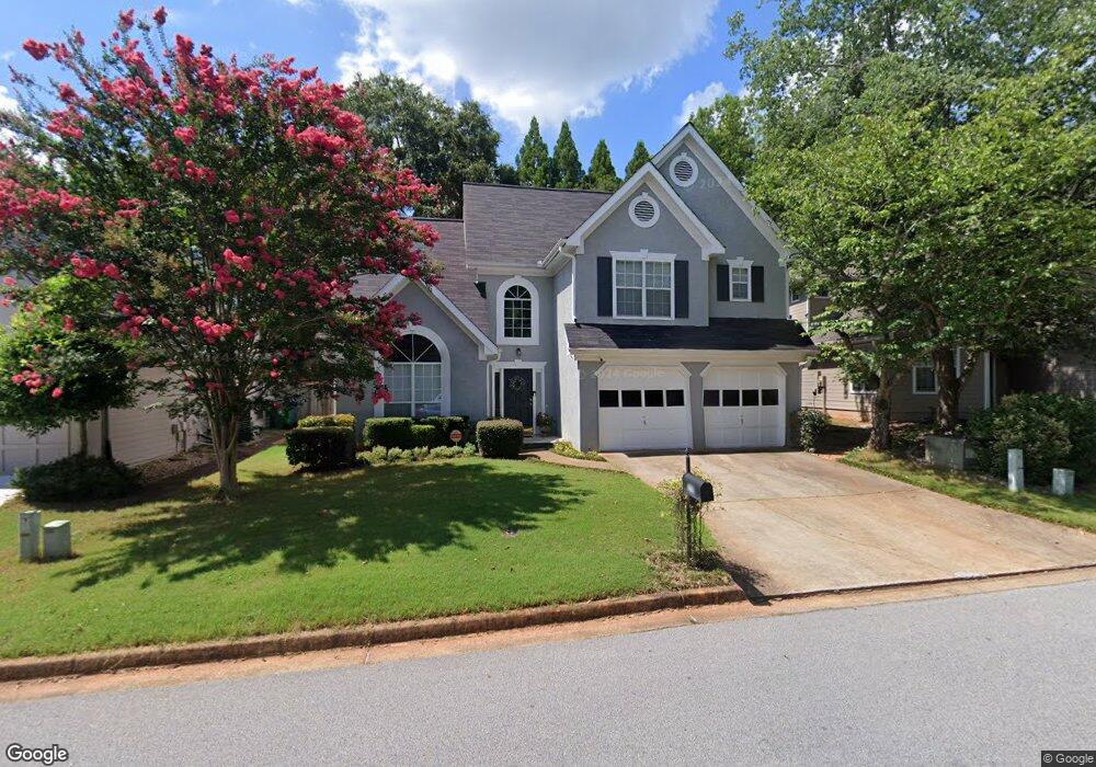
2794 Ashwood Place Decatur, GA 30030
Estimated Value: $491,864 - $560,000
3
Beds
3
Baths
1,560
Sq Ft
$344/Sq Ft
Est. Value
About This Home
This home is located at 2794 Ashwood Place, Decatur, GA 30030 and is currently estimated at $536,966, approximately $344 per square foot. 2794 Ashwood Place is a home located in DeKalb County with nearby schools including Avondale Elementary School, Druid Hills Middle School, and Druid Hills High School.
Ownership History
Date
Name
Owned For
Owner Type
Purchase Details
Closed on
Nov 29, 2000
Sold by
King Jeff L and King Meredith C
Bought by
Nelson Donna L and Nelson Michael
Current Estimated Value
Home Financials for this Owner
Home Financials are based on the most recent Mortgage that was taken out on this home.
Original Mortgage
$156,000
Interest Rate
5.72%
Mortgage Type
Stand Alone Second
Purchase Details
Closed on
Nov 28, 2000
Sold by
King Jeff L and King Meredith C
Bought by
Nelson Donna L and Nelson Michael B
Home Financials for this Owner
Home Financials are based on the most recent Mortgage that was taken out on this home.
Original Mortgage
$156,000
Interest Rate
5.72%
Mortgage Type
Stand Alone Second
Create a Home Valuation Report for This Property
The Home Valuation Report is an in-depth analysis detailing your home's value as well as a comparison with similar homes in the area
Home Values in the Area
Average Home Value in this Area
Purchase History
| Date | Buyer | Sale Price | Title Company |
|---|---|---|---|
| Nelson Donna L | $233,000 | -- | |
| Nelson Donna L | $233,000 | -- |
Source: Public Records
Mortgage History
| Date | Status | Borrower | Loan Amount |
|---|---|---|---|
| Previous Owner | Nelson Donna L | $156,000 | |
| Previous Owner | Nelson Donna L | $170,000 |
Source: Public Records
Tax History Compared to Growth
Tax History
| Year | Tax Paid | Tax Assessment Tax Assessment Total Assessment is a certain percentage of the fair market value that is determined by local assessors to be the total taxable value of land and additions on the property. | Land | Improvement |
|---|---|---|---|---|
| 2024 | $5,650 | $179,560 | $50,040 | $129,520 |
| 2023 | $5,650 | $161,640 | $50,040 | $111,600 |
| 2022 | $5,101 | $156,120 | $50,000 | $106,120 |
| 2021 | $4,714 | $139,360 | $50,000 | $89,360 |
| 2020 | $4,653 | $136,440 | $50,000 | $86,440 |
| 2019 | $4,604 | $136,600 | $50,000 | $86,600 |
| 2018 | $0 | $132,600 | $23,520 | $109,080 |
| 2017 | $4,443 | $127,000 | $23,520 | $103,480 |
| 2016 | $4,221 | $123,880 | $23,520 | $100,360 |
| 2014 | $3,790 | $112,480 | $23,520 | $88,960 |
Source: Public Records
Map
Nearby Homes
- 874 Ashwood Walk
- 2829 Ashwood Place
- 2773 Craigie Ave
- 847 Regal Path Ln
- 2839 Ashbury Heights Rd
- 958 Forrest Blvd
- 827 Derrydown Way
- 725 Brown Place
- 1002 Forrest Blvd
- 1112 Ashbury Dr
- 2630 Talley St Unit 326
- 2630 Talley St Unit 106
- 451 S Columbia Dr
- 41 Clarendon Ave
- 64 Devon Ln
- 230 New St Unit 2201-47
- 230 New St Unit 2201-4
- 2798 Ashwood Place
- 2790 Ashwood Place
- 894 Wheatfields Place
- 886 Wheatfields Place
- 898 Wheatfields Place
- 882 Wheatfields Place
- 2802 Ashwood Place
- 878 Wheatfields Place
- 2808 Ashwood Place
- 0 Wheatfields Place Unit 7476554
- 0 Wheatfields Place Unit 7415406
- 0 Wheatfields Place Unit 7300956
- 0 Wheatfields Place Unit 7280193
- 0 Wheatfields Place Unit 7286576
- 0 Wheatfields Place Unit 8569241
- 0 Wheatfields Place Unit 8112989
- 0 Wheatfields Place Unit 8432295
- 0 Wheatfields Place Unit 3267822
- 0 Wheatfields Place Unit 3182897
- 0 Wheatfields Place Unit 3230237