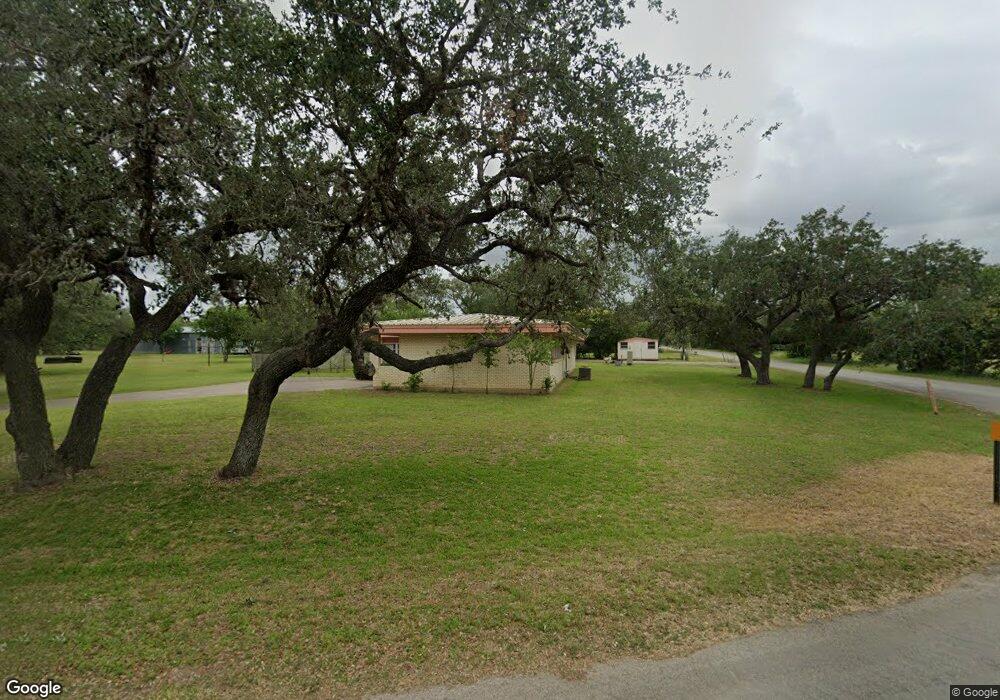
2797 Airport Rd Beeville, TX 78102
Estimated Value: $221,000 - $268,270
2
Beds
2
Baths
2,173
Sq Ft
$113/Sq Ft
Est. Value
About This Home
This home is located at 2797 Airport Rd, Beeville, TX 78102 and is currently estimated at $245,068, approximately $112 per square foot. 2797 Airport Rd is a home located in Bee County with nearby schools including A.C. Jones High School, St. Mary's Academy Charter School, and St. Philip's Episcopal School.
Ownership History
Date
Name
Owned For
Owner Type
Purchase Details
Closed on
Sep 17, 2024
Sold by
Hernandez Kathy Jean Ludwig and Fall Kimberly Marie
Bought by
Landry Marcel James and Landry Chantal Elizabeth
Current Estimated Value
Purchase Details
Closed on
Mar 7, 2024
Sold by
Dornak Thomas F and Dornak Joan L
Bought by
Crawford Elsa M
Home Financials for this Owner
Home Financials are based on the most recent Mortgage that was taken out on this home.
Original Mortgage
$176,000
Interest Rate
6.69%
Mortgage Type
New Conventional
Purchase Details
Closed on
Jun 2, 2023
Sold by
Smith Charlotte D and Puckett Ford Sheri
Bought by
Dornak Thomas F and Dornak Joan L
Create a Home Valuation Report for This Property
The Home Valuation Report is an in-depth analysis detailing your home's value as well as a comparison with similar homes in the area
Home Values in the Area
Average Home Value in this Area
Purchase History
| Date | Buyer | Sale Price | Title Company |
|---|---|---|---|
| Landry Marcel James | -- | None Listed On Document | |
| Crawford Elsa M | -- | Southwest Land Title | |
| Dornak Thomas F | -- | Southwest Land Title |
Source: Public Records
Mortgage History
| Date | Status | Borrower | Loan Amount |
|---|---|---|---|
| Previous Owner | Crawford Elsa M | $176,000 |
Source: Public Records
Tax History Compared to Growth
Tax History
| Year | Tax Paid | Tax Assessment Tax Assessment Total Assessment is a certain percentage of the fair market value that is determined by local assessors to be the total taxable value of land and additions on the property. | Land | Improvement |
|---|---|---|---|---|
| 2024 | $3,857 | $229,060 | $9,450 | $219,610 |
| 2023 | $2,555 | $156,310 | $6,300 | $150,010 |
| 2022 | $2,904 | $152,250 | $4,410 | $147,840 |
| 2021 | $2,913 | $140,890 | $4,410 | $136,480 |
| 2020 | $2,576 | $124,050 | $4,410 | $119,640 |
| 2019 | $2,377 | $113,970 | $5,040 | $108,930 |
| 2018 | -- | $112,800 | $4,100 | $108,700 |
| 2017 | $2,056 | $106,810 | $4,100 | $102,710 |
| 2016 | $2,055 | $106,730 | $4,730 | $102,000 |
| 2015 | -- | $106,730 | $4,730 | $102,000 |
| 2014 | -- | $107,530 | $5,670 | $101,860 |
Source: Public Records
Map
Nearby Homes
- LOT 3 Fm 351 & Rr
- 1641 Charco Rd
- LOT 4 Fm 351 & Rr
- LOT 1 Fm 351 & Rr
- 000 Farm To Market Road 351
- TBD Tra Farm To Market Road 351
- 0 Farm To Market Road 351
- 000 Airport Rd
- LOT 2 Fm 351 W & Rr
- 8 Country Club Place
- 1804 N Mckinley St
- 1701 North Ave E
- 806 W Bates St
- 810 W Bates St
- 808 W Bates St
- TBD W Randall St
- 125 Red Bird Ridge
- 1506 North Ave E
- 1504 N Adams St
- 510 E Inez St
- 2721 Old Airport Rd
- 2021 County Road 301
- 2000 County Road 301
- 301 Cr
- 2032 County Road 301
- 2717 Old Airport Rd
- 2074 Cr 301
- 2721 N Airport Rd
- 2115 County Road 301
- 0 Airport Rd
- 2085 County Road 301
- 2868 N Mccoun Dr
- 2665 N Airport Rd
- 000 Reyes Rd
- 2852 N Mccoun Dr
- 210 Reyes Rd
- 2205 County Road 301
- 2206 Chester Ln
- 2470 Orange Ln
- 2207 Chester Ln