2798 Rock Branch Rd Elberton, GA 30635
Estimated Value: $167,503 - $263,000
--
Bed
2
Baths
1,468
Sq Ft
$159/Sq Ft
Est. Value
About This Home
This home is located at 2798 Rock Branch Rd, Elberton, GA 30635 and is currently estimated at $233,876, approximately $159 per square foot. 2798 Rock Branch Rd is a home located in Elbert County with nearby schools including Elbert County Primary School, Elbert County Elementary School, and Elbert County Middle School.
Ownership History
Date
Name
Owned For
Owner Type
Purchase Details
Closed on
Nov 14, 2006
Sold by
Hopkins Nancy G
Bought by
Greenway Lou Anne
Current Estimated Value
Purchase Details
Closed on
Dec 1, 1998
Purchase Details
Closed on
Mar 1, 1994
Purchase Details
Closed on
May 1, 1965
Create a Home Valuation Report for This Property
The Home Valuation Report is an in-depth analysis detailing your home's value as well as a comparison with similar homes in the area
Home Values in the Area
Average Home Value in this Area
Purchase History
| Date | Buyer | Sale Price | Title Company |
|---|---|---|---|
| Greenway Lou Anne | -- | -- | |
| Greenway Lou Anne | -- | -- | |
| -- | -- | -- | |
| -- | -- | -- | |
| -- | $1,100 | -- |
Source: Public Records
Tax History Compared to Growth
Tax History
| Year | Tax Paid | Tax Assessment Tax Assessment Total Assessment is a certain percentage of the fair market value that is determined by local assessors to be the total taxable value of land and additions on the property. | Land | Improvement |
|---|---|---|---|---|
| 2024 | $1,559 | $65,026 | $4,797 | $60,229 |
| 2023 | $1,080 | $65,026 | $4,797 | $60,229 |
| 2022 | $978 | $42,784 | $2,855 | $39,929 |
| 2021 | $979 | $42,784 | $2,855 | $39,929 |
| 2020 | $772 | $30,388 | $2,284 | $28,104 |
| 2019 | $802 | $30,388 | $2,284 | $28,104 |
| 2018 | $826 | $30,388 | $2,284 | $28,104 |
| 2017 | $815 | $27,928 | $2,284 | $25,644 |
| 2016 | $761 | $27,928 | $2,284 | $25,644 |
| 2015 | -- | $27,929 | $2,284 | $25,644 |
| 2014 | -- | $26,929 | $2,284 | $24,644 |
| 2013 | -- | $26,929 | $2,284 | $24,644 |
Source: Public Records
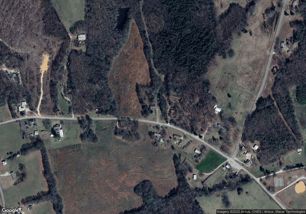
Map
Nearby Homes
- 2946 Rock Branch Rd
- 2187 Turner Hill Rd
- 0 Gregg Shoals Dr Unit 10497348
- 0 Gregg Shoals Dr Unit CL342115
- 0 Gregg Shoals Dr Unit LotWP001 24031325
- 0 Anderson Hwy Unit 24629664
- 0 Anderson Hwy Unit 10536298
- 0 Moore Rd Unit 10552577
- 0 Pickens Point Dr Unit CL337116
- 0 Pickens Point Dr Unit 10588711
- 1071 Sword Dr Unit 64
- 1071 Sword Dr
- 0 Omaha Dr Unit 7591330
- 0 Omaha Dr Unit 10536866
- 39B Omaha Dr
- Lot 26 Omaha Dr
- Lot 26 Omaha Dr Unit 26
- Lot 36 Omaha Dr
- 52B Omaha Dr
- 0 Millstone Creek Rd Unit 10531895
- 2794 Rock Branch Rd
- 2797 Rock Branch Rd
- 2788 Rock Branch Rd
- 2792 Rock Branch Rd
- 2775 Rock Branch Rd
- 2827 Rock Branch Rd
- 2778 Rock Branch Rd
- 2836 Rock Branch Rd
- 2841 Rock Branch Rd
- 2757 Rock Branch Rd
- 2802 Green Acres Rd
- 2857 Rock Branch Rd
- 2856 Rock Branch Rd
- 2848 Green Acres Rd
- 2824 Guy Wilson Rd
- 0 Delia Dr Unit 8014906
- 0 Delia Dr
- 2810 Guy Wilson Rd
- 2872 Green Acres Rd
- 0 Guy Wilson Rd Unit 3180637