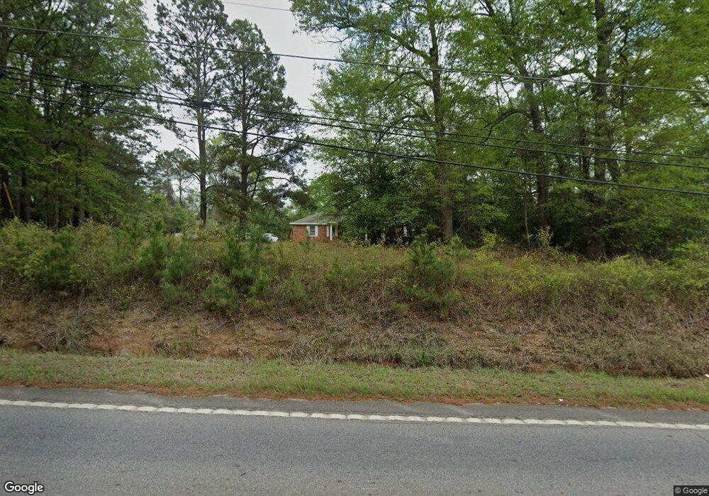
2799 Ga Highway 127 Kathleen, GA 31047
Estimated Value: $342,890 - $439,000
--
Bed
2
Baths
2,736
Sq Ft
$142/Sq Ft
Est. Value
About This Home
This home is located at 2799 Ga Highway 127, Kathleen, GA 31047 and is currently estimated at $388,473, approximately $141 per square foot. 2799 Ga Highway 127 is a home located in Houston County with nearby schools including Bonaire Elementary School, Bonaire Middle School, and Veterans High School.
Ownership History
Date
Name
Owned For
Owner Type
Purchase Details
Closed on
Feb 2, 1981
Sold by
Ray Carl Aubrey
Bought by
Johnson Danny M and Donna D*
Current Estimated Value
Purchase Details
Closed on
Feb 14, 1980
Sold by
Ray Carl Aubrey
Bought by
Johnson Danny M and Donna D*
Purchase Details
Closed on
Nov 1, 1979
Sold by
Ray Carl Aubrey
Bought by
Johnson Danny M and Donna D*
Create a Home Valuation Report for This Property
The Home Valuation Report is an in-depth analysis detailing your home's value as well as a comparison with similar homes in the area
Home Values in the Area
Average Home Value in this Area
Purchase History
| Date | Buyer | Sale Price | Title Company |
|---|---|---|---|
| Johnson Danny M | -- | -- | |
| Johnson Danny M | -- | -- | |
| Johnson Danny M | -- | -- |
Source: Public Records
Tax History Compared to Growth
Tax History
| Year | Tax Paid | Tax Assessment Tax Assessment Total Assessment is a certain percentage of the fair market value that is determined by local assessors to be the total taxable value of land and additions on the property. | Land | Improvement |
|---|---|---|---|---|
| 2024 | $2,617 | $111,400 | $49,200 | $62,200 |
| 2023 | $2,261 | $95,560 | $45,120 | $50,440 |
| 2022 | $2,109 | $89,240 | $45,120 | $44,120 |
| 2021 | $1,937 | $81,720 | $42,680 | $39,040 |
| 2020 | $1,528 | $64,600 | $24,880 | $39,720 |
| 2019 | $1,528 | $64,600 | $24,880 | $39,720 |
| 2018 | $1,528 | $64,600 | $24,880 | $39,720 |
| 2017 | $1,529 | $64,600 | $24,880 | $39,720 |
| 2016 | $1,532 | $64,600 | $24,880 | $39,720 |
| 2015 | $1,535 | $64,600 | $24,880 | $39,720 |
| 2014 | -- | $65,640 | $24,880 | $40,760 |
| 2013 | -- | $65,640 | $24,880 | $40,760 |
Source: Public Records
Map
Nearby Homes
- 531 Bristleleaf Path
- 529 Bristleleaf Path
- 521 Bristleleaf Path
- 202 Emberwood Way
- 525 Bristleleaf Path
- 533 Bristleleaf Path
- 523 Bristleleaf Path
- 131 & 133 S Blackberry Cir
- 109 Black Birch Ln
- 102 Black Birch Ln
- 321 Willowbrook Ln
- 117 Field View Ln
- 103 Field View Ln
- 605 Bristleleaf Path
- 612 Willowbrook Ln
- 607 Willowbrook Ln
- 604 Willowbrook Ln
- 323 Willowbrook Ln
- 607 Bristleleaf Path
- 111 Black Birch Ln
- 117 Brock Rd
- 121 Brock Rd
- 115 Brock Rd
- 125 Brock Rd
- 113 Brock Rd
- 127 Brock Rd
- 111 Brock Rd
- 107 Brock Rd
- 114 Brook Hollow Ct
- 103 Brook Hollow Ct
- 113 Brook Hollow Ct
- 116 Brook Hollow Ct
- 102 Brook Hollow Ct
- 101 Brook Hollow Ct
- 118 Brook Hollow Ct
- 109 Brook Hollow Ct
- 106 Brook Hollow Ct
- 108 Brook Hollow Ct
- 112 Brook Hollow Ct
- 115 Brook Hollow Ct