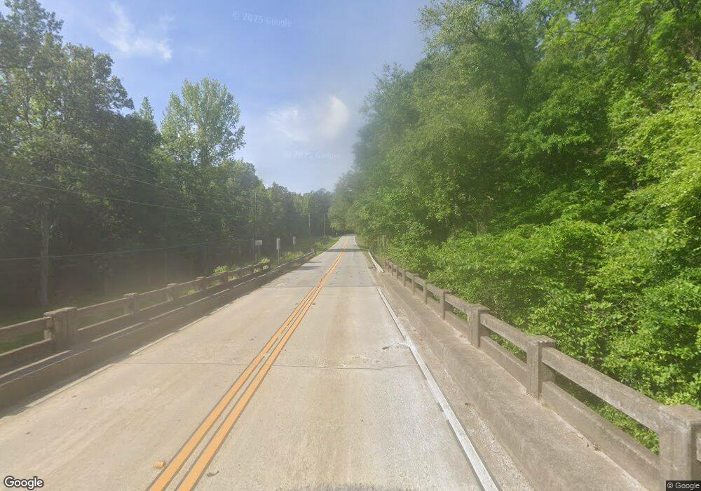
2799 Highway 54 Moreland, GA 30259
Estimated Value: $134,287
--
Bed
--
Bath
--
Sq Ft
11.13
Acres
About This Home
This home is located at 2799 Highway 54, Moreland, GA 30259 and is currently estimated at $134,287. 2799 Highway 54 is a home located in Coweta County with nearby schools including Moreland Elementary School, Smokey Road Middle School, and Newnan High School.
Ownership History
Date
Name
Owned For
Owner Type
Purchase Details
Closed on
Aug 20, 2020
Sold by
Kb 51 Enterprises Llc
Bought by
Richmond Scott A and Richmond Seleta R
Current Estimated Value
Purchase Details
Closed on
Jul 14, 2014
Sold by
Kb 51 Enterprises Llc
Bought by
Fox Robert D and Fox Carol E
Purchase Details
Closed on
Jun 8, 2011
Sold by
Keith Brooking Revocable Trust
Bought by
Kb 51 Enterprises Llc
Purchase Details
Closed on
Nov 28, 2007
Sold by
Brooking Keith
Bought by
Personal Brooking Keith
Create a Home Valuation Report for This Property
The Home Valuation Report is an in-depth analysis detailing your home's value as well as a comparison with similar homes in the area
Home Values in the Area
Average Home Value in this Area
Purchase History
| Date | Buyer | Sale Price | Title Company |
|---|---|---|---|
| Richmond Scott A | $67,500 | -- | |
| Fox Robert D | $60,000 | -- | |
| Kb 51 Enterprises Llc | -- | -- | |
| Personal Brooking Keith | -- | -- |
Source: Public Records
Tax History Compared to Growth
Tax History
| Year | Tax Paid | Tax Assessment Tax Assessment Total Assessment is a certain percentage of the fair market value that is determined by local assessors to be the total taxable value of land and additions on the property. | Land | Improvement |
|---|---|---|---|---|
| 2025 | $2,382 | $100,823 | $100,823 | -- |
| 2024 | $2,185 | $94,132 | $94,132 | -- |
| 2023 | $2,185 | $96,015 | $96,015 | $0 |
| 2022 | $2,249 | $91,316 | $91,316 | $0 |
| 2021 | $2,289 | $86,967 | $86,967 | $0 |
| 2020 | $2,407 | $90,814 | $90,814 | $0 |
| 2019 | $3,763 | $128,566 | $128,566 | $0 |
| 2018 | $3,770 | $128,566 | $128,566 | $0 |
| 2017 | $3,768 | $128,566 | $128,565 | $1 |
| 2016 | $3,723 | $128,566 | $128,566 | $0 |
| 2015 | $3,660 | $128,566 | $128,566 | $0 |
| 2014 | $4,170 | $147,678 | $147,678 | $0 |
Source: Public Records
Map
Nearby Homes
- 0 Highway 54 Unit 10561313
- 0 Highway 54 Unit 7613124
- 2725 Gordon Rd
- 152 Bear Creek Rd
- 59 Akers Lake Dr
- 98 Ryeland Dr
- 136 Ryeland Dr
- 143 Ryeland Dr
- 1234 Haynie Rd
- 215 Grey Fairs Ave
- 2486 Highway 54 Unit LOT 4
- 83 Homesite Slick Ct
- 88 Slick Ct
- Henry II Plan at Saddleridge
- Emerson II Plan at Saddleridge
- Margaret Plan at Saddleridge
- Lauren II Plan at Saddleridge
- Clarity Plan at Saddleridge
- Brevard Plan at Saddleridge
- Meridian II Plan at Saddleridge
- 2798 Highway 54 Unit A
- 2934 Highway 54
- 2797 Highway 54
- 138 Old Bailey Farms Dr
- 140 Old Bailey Farms Dr
- 134 Old Bailey Farms Dr
- 139 Old Bailey Farms Dr
- 122 Old Bailey Farms Dr Unit 26
- 135 Old Bailey Farms Dr Unit 21
- 125 Old Bailey Farms Dr Unit 20
- 3215 Highway 54
- 92 Old Bailey Farms Dr
- 92 Old Bailey Farms Dr Unit 27
- 76 Old Bailey Farms Dr Unit 28
- 76 Old Bailey Farms Dr
- 97 Old Bailey Farms Dr Unit 18
- 3061 Gordon Rd
- 116 Ashlynn Brook Way Unit 12
- 116 Ashlynn Brook Way
- 114 Ashlynn Brook Way Unit 13
