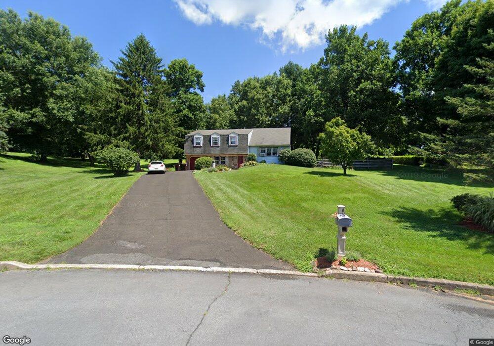
2799 Red Gate Dr Doylestown, PA 18902
Estimated Value: $521,000 - $754,000
3
Beds
2
Baths
1,843
Sq Ft
$334/Sq Ft
Est. Value
About This Home
This home is located at 2799 Red Gate Dr, Doylestown, PA 18902 and is currently estimated at $614,667, approximately $333 per square foot. 2799 Red Gate Dr is a home located in Bucks County with nearby schools including Buckingham Elementary School, Holicong Middle School, and Central Bucks High School - East.
Ownership History
Date
Name
Owned For
Owner Type
Purchase Details
Closed on
Apr 18, 1978
Bought by
Norris Barbara J
Current Estimated Value
Create a Home Valuation Report for This Property
The Home Valuation Report is an in-depth analysis detailing your home's value as well as a comparison with similar homes in the area
Home Values in the Area
Average Home Value in this Area
Purchase History
| Date | Buyer | Sale Price | Title Company |
|---|---|---|---|
| Norris Barbara J | $54,000 | -- |
Source: Public Records
Tax History
| Year | Tax Paid | Tax Assessment Tax Assessment Total Assessment is a certain percentage of the fair market value that is determined by local assessors to be the total taxable value of land and additions on the property. | Land | Improvement |
|---|---|---|---|---|
| 2025 | $5,015 | $30,800 | $8,520 | $22,280 |
| 2024 | $5,015 | $30,800 | $8,520 | $22,280 |
| 2023 | $4,845 | $30,800 | $8,520 | $22,280 |
| 2022 | $4,787 | $30,800 | $8,520 | $22,280 |
| 2021 | $4,729 | $30,800 | $8,520 | $22,280 |
| 2020 | $4,729 | $30,800 | $8,520 | $22,280 |
| 2019 | $4,699 | $30,800 | $8,520 | $22,280 |
| 2018 | $4,699 | $30,800 | $8,520 | $22,280 |
| 2017 | $4,660 | $30,800 | $8,520 | $22,280 |
| 2016 | $4,706 | $30,800 | $8,520 | $22,280 |
| 2015 | -- | $30,800 | $8,520 | $22,280 |
| 2014 | -- | $30,800 | $8,520 | $22,280 |
Source: Public Records
Map
Nearby Homes
- 2918 Snake Hill Rd
- 4602 Sands Way
- 2798 Forge Place
- 3889 Robin Rd
- 3039 Durham Rd
- 2980 Yorkshire Rd
- 3455 & 3479 Durham Rd
- 5025 Anderson Rd
- 3775 Buckingham Dr
- 4203 Greenspire Ln
- 3795 Route 202
- 117 Windover Ln
- 3660 Buttonwood Dr
- 3689 Hancock Ln
- 1908 Durham Rd
- 5358 York Rd
- 3468 Holicong Rd
- 4448 Lower Mountain Rd
- 2209 Swamp Rd
- 4549 Lower Mountain Rd
- 2803 Red Gate Dr
- 2791 Red Gate Dr
- 2802 Red Gate Dr
- 2794 Cranberry Rd
- 4414 Route 202
- 4414 Route 202 Unit B
- 4414 Route 202 Unit A
- 4414 Route 202 Unit A&B
- 4414 Route 202 Unit A
- 4414 Route 202 Unit B
- 4360 Route 202
- 2774 Cranberry Rd
- 4366 Route 202
- 2788 Red Gate Dr
- 2798 Red Gate Dr
- 2772 Red Gate Dr
- 4352 U S 202
- 4352 Route 202
- 2761 Red Gate Dr
- 2800 Red Gate Dr
Your Personal Tour Guide
Ask me questions while you tour the home.