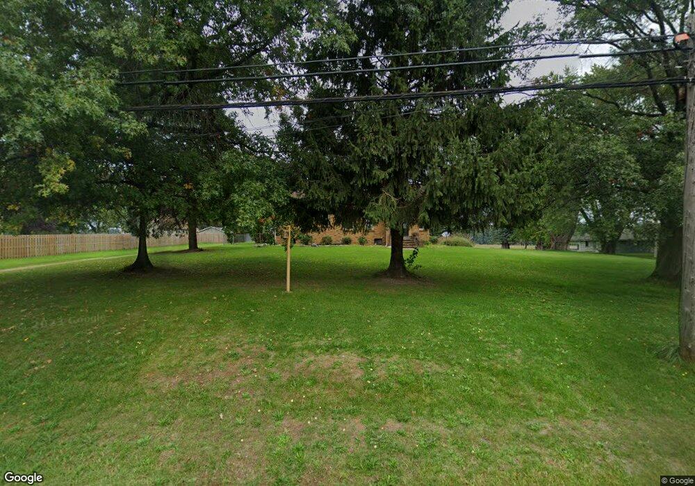
2799 Territorial Rd Benton Harbor, MI 49022
Benton Heights NeighborhoodEstimated Value: $124,000 - $205,158
3
Beds
2
Baths
2,105
Sq Ft
$74/Sq Ft
Est. Value
About This Home
This home is located at 2799 Territorial Rd, Benton Harbor, MI 49022 and is currently estimated at $155,290, approximately $73 per square foot. 2799 Territorial Rd is a home located in Berrien County with nearby schools including Fair Plain Middle School, Benton Harbor High School, and Mildred C. Wells Preparatory Academy.
Ownership History
Date
Name
Owned For
Owner Type
Purchase Details
Closed on
Jun 11, 1993
Current Estimated Value
Create a Home Valuation Report for This Property
The Home Valuation Report is an in-depth analysis detailing your home's value as well as a comparison with similar homes in the area
Home Values in the Area
Average Home Value in this Area
Purchase History
| Date | Buyer | Sale Price | Title Company |
|---|---|---|---|
| -- | $65,000 | -- |
Source: Public Records
Tax History Compared to Growth
Tax History
| Year | Tax Paid | Tax Assessment Tax Assessment Total Assessment is a certain percentage of the fair market value that is determined by local assessors to be the total taxable value of land and additions on the property. | Land | Improvement |
|---|---|---|---|---|
| 2025 | $1,608 | $61,600 | $0 | $0 |
| 2024 | $874 | $55,100 | $0 | $0 |
| 2023 | $832 | $54,000 | $0 | $0 |
| 2022 | $792 | $48,600 | $0 | $0 |
| 2021 | $1,410 | $46,800 | $2,300 | $44,500 |
| 2020 | $1,391 | $46,500 | $0 | $0 |
| 2019 | $1,365 | $41,600 | $1,900 | $39,700 |
| 2018 | $1,321 | $41,600 | $0 | $0 |
| 2017 | $1,306 | $41,400 | $0 | $0 |
| 2016 | $1,482 | $42,600 | $0 | $0 |
| 2015 | $1,403 | $40,900 | $0 | $0 |
| 2014 | $672 | $49,200 | $0 | $0 |
Source: Public Records
Map
Nearby Homes
- VL Clinton Rd
- 0 Vl Clinton Rd
- 846 N Benton Center Rd
- 2416 Highland Ave
- 425 N Euclid Ave
- 1192 N Benton Center Rd
- 00 N Euclid Ave
- 0 N Euclid Ave Unit 24029856
- 000 N Euclid Ave
- 1226 N Benton Center Rd
- 1081 Villa Ct
- 2277 Laurel Dr
- 1187 Villa Ct
- 948 Baldanza Ave
- 2062 Hatch Ave
- 2039 Taube Ave
- 3547 N Blue Creek Rd
- 2431 E Britain Ave
- 640 O'Brien Dr
- 140 N Crystal Ave
- 2793 Territorial Rd
- 2821 Territorial Rd
- 2796 Territorial Rd
- 2772 Territorial Rd
- 2804 Territorial Rd
- 2867 Territorial Rd
- 2764 Territorial Rd
- 2875 Territorial Rd
- 2756 Territorial Rd
- 2887 Territorial Rd
- 2742 Territorial Rd
- 2884 Territorial Rd
- 2862 Territorial Rd
- 2894 Territorial Rd
- 2918 Territorial Rd
- 2724 Territorial Rd
- 2913 Territorial Rd
- 2706 Territorial Rd
- 2720 Territorial Rd
- 2653 Territorial Rd