27994 Owl Branch Rd Jerseyville, IL 62052
Estimated Value: $143,000 - $237,000
--
Bed
--
Bath
1,344
Sq Ft
$134/Sq Ft
Est. Value
About This Home
This home is located at 27994 Owl Branch Rd, Jerseyville, IL 62052 and is currently estimated at $180,210, approximately $134 per square foot. 27994 Owl Branch Rd is a home located in Jersey County with nearby schools including Jersey Community High School.
Ownership History
Date
Name
Owned For
Owner Type
Purchase Details
Closed on
Feb 23, 2022
Sold by
Mcgowen Lawrence M
Bought by
Larry L Loy Declaration Of Trust
Current Estimated Value
Home Financials for this Owner
Home Financials are based on the most recent Mortgage that was taken out on this home.
Original Mortgage
$150,000
Outstanding Balance
$139,286
Interest Rate
3.55%
Mortgage Type
New Conventional
Estimated Equity
$40,924
Purchase Details
Closed on
Jul 26, 2007
Sold by
Mcgowen Lawrence and Mcgowen Theresa
Bought by
Mcgowen Lawrence and Mcgowen Theresa
Create a Home Valuation Report for This Property
The Home Valuation Report is an in-depth analysis detailing your home's value as well as a comparison with similar homes in the area
Home Values in the Area
Average Home Value in this Area
Purchase History
| Date | Buyer | Sale Price | Title Company |
|---|---|---|---|
| Larry L Loy Declaration Of Trust | $46,666 | None Listed On Document | |
| Mcgowen Lawrence | -- | -- |
Source: Public Records
Mortgage History
| Date | Status | Borrower | Loan Amount |
|---|---|---|---|
| Open | Larry L Loy Declaration Of Trust | $150,000 |
Source: Public Records
Tax History Compared to Growth
Tax History
| Year | Tax Paid | Tax Assessment Tax Assessment Total Assessment is a certain percentage of the fair market value that is determined by local assessors to be the total taxable value of land and additions on the property. | Land | Improvement |
|---|---|---|---|---|
| 2024 | $2,151 | $37,915 | $8,040 | $29,875 |
| 2023 | $2,072 | $35,435 | $7,515 | $27,920 |
| 2022 | $1,652 | $33,120 | $7,025 | $26,095 |
| 2021 | $1,123 | $31,395 | $6,660 | $24,735 |
| 2020 | $1,150 | $30,190 | $6,405 | $23,785 |
| 2019 | $1,150 | $29,455 | $6,250 | $23,205 |
| 2018 | $1,130 | $29,235 | $6,205 | $23,030 |
| 2017 | $1,177 | $29,020 | $6,160 | $22,860 |
| 2016 | $1,203 | $29,225 | $6,205 | $23,020 |
| 2015 | -- | $29,670 | $6,300 | $23,370 |
| 2014 | -- | $29,715 | $6,310 | $23,405 |
Source: Public Records
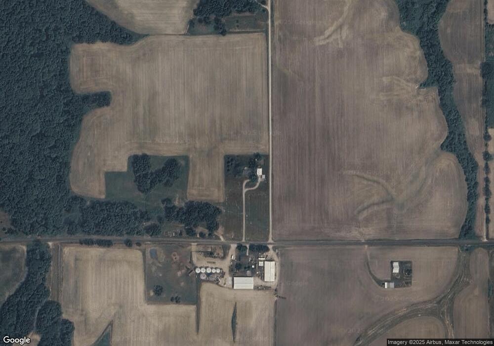
Map
Nearby Homes
- 1 June St
- 0 N June Unit MAR25006678
- 0 N June Unit MAR25006663
- 0 N June Unit MAR25006665
- 0 N June Unit MAR25006274
- 402 Minard St
- 36 Witt Mill Rd
- 40 Witt Mill Rd
- 46 Witt Mill Rd
- 34 Witt Mill Rd
- 38 Witt Mill Rd
- 42 Witt Mill Rd
- 33 Witt Mill Rd
- 48 Witt Mill Rd
- 44 Witt Mill Rd
- 50 Witt Mill Rd
- 26 June St
- 23 June St
- 25 June St
- 24 June St