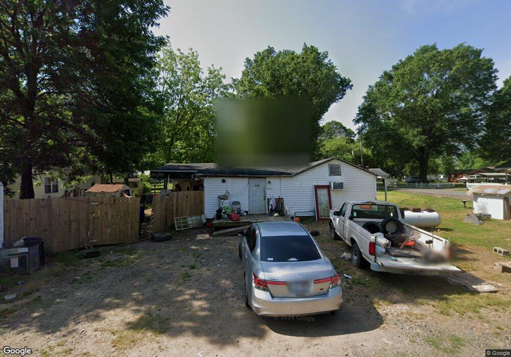
28 3rd Cir Conway, AR 72032
Estimated Value: $94,000 - $159,000
3
Beds
2
Baths
1,299
Sq Ft
$105/Sq Ft
Est. Value
About This Home
This home is located at 28 3rd Cir, Conway, AR 72032 and is currently estimated at $136,072, approximately $104 per square foot. 28 3rd Cir is a home located in Faulkner County with nearby schools including Preston & Florence Mattison Elementary School, Bob Courtway Middle School, and Conway Junior High School.
Ownership History
Date
Name
Owned For
Owner Type
Purchase Details
Closed on
Mar 9, 2012
Sold by
Crook Stephen A
Bought by
Rondeau William
Current Estimated Value
Purchase Details
Closed on
Aug 14, 2008
Bought by
Stephen Crook
Purchase Details
Closed on
Sep 4, 2007
Bought by
Fed Ntl Mtg
Purchase Details
Closed on
Aug 29, 2007
Bought by
Fed Ntl Mtg
Purchase Details
Closed on
Aug 28, 2007
Bought by
Liberty Savings
Purchase Details
Closed on
Apr 24, 2001
Bought by
Ashley
Purchase Details
Closed on
Oct 30, 1996
Bought by
Ashley and Pearce
Create a Home Valuation Report for This Property
The Home Valuation Report is an in-depth analysis detailing your home's value as well as a comparison with similar homes in the area
Home Values in the Area
Average Home Value in this Area
Purchase History
| Date | Buyer | Sale Price | Title Company |
|---|---|---|---|
| Rondeau William | $25,000 | None Available | |
| Stephen Crook | $7,000 | -- | |
| Crook Stephen A | $7,000 | None Available | |
| Fed Ntl Mtg | -- | -- | |
| Liberty Savings | $33,900 | -- | |
| Fed Ntl Mtg | -- | -- | |
| Liberty Savings | $33,900 | -- | |
| Ashley | -- | -- | |
| Ashley | $30,000 | -- |
Source: Public Records
Tax History Compared to Growth
Tax History
| Year | Tax Paid | Tax Assessment Tax Assessment Total Assessment is a certain percentage of the fair market value that is determined by local assessors to be the total taxable value of land and additions on the property. | Land | Improvement |
|---|---|---|---|---|
| 2025 | $451 | $17,740 | $1,600 | $16,140 |
| 2024 | $414 | $17,740 | $1,600 | $16,140 |
| 2023 | $376 | $8,110 | $1,600 | $6,510 |
| 2022 | $66 | $8,110 | $1,600 | $6,510 |
| 2021 | $35 | $8,110 | $1,600 | $6,510 |
| 2020 | $35 | $7,380 | $1,600 | $5,780 |
| 2019 | $35 | $7,380 | $1,600 | $5,780 |
| 2018 | $35 | $7,380 | $1,600 | $5,780 |
| 2017 | $35 | $7,470 | $1,600 | $5,870 |
| 2016 | $35 | $7,470 | $1,600 | $5,870 |
| 2015 | $360 | $7,760 | $1,600 | $6,160 |
| 2014 | $45 | $7,760 | $1,600 | $6,160 |
Source: Public Records
Map
Nearby Homes
- lot 7 Shady Point Dr
- 43 Lawrence Landing Rd
- 256 Caney Creek Rd
- 60 Wilhelmina Cove
- 000 Bream Nest Rd
- 63 Wilhelmina Cove Rd
- 25 Fred Ln
- 260 Sturgis Rd
- 24 Sierra Dr
- 5 Thomas Ln
- 237 Sturgis Rd
- 6 Round Mountain Rd
- 5 Round Mountain Rd
- 104 Lawrence Landing Rd
- 380 Sturgis Rd
- 00 Kaps Landing Rd
- 25 Caney Hill Rd
- 114 Lawrence Landing Rd
- 30 Round Mountain Rd
- 2 Pine St