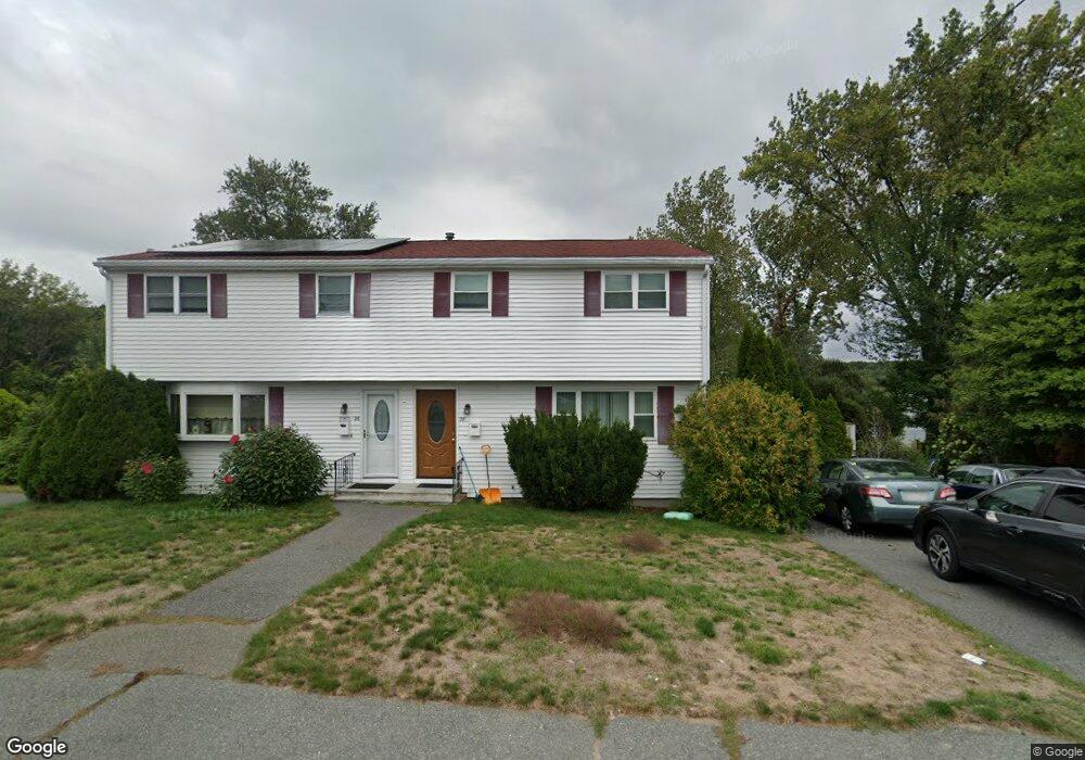
28 Adams Dr Randolph, MA 02368
North Randolph NeighborhoodEstimated Value: $365,000 - $475,000
3
Beds
3
Baths
1,301
Sq Ft
$331/Sq Ft
Est. Value
About This Home
This home is located at 28 Adams Dr, Randolph, MA 02368 and is currently estimated at $430,248, approximately $330 per square foot. 28 Adams Dr is a home located in Norfolk County with nearby schools including Randolph High School.
Ownership History
Date
Name
Owned For
Owner Type
Purchase Details
Closed on
Apr 12, 2005
Sold by
Devilme Sergo and Vilchert Wilbert
Bought by
Vilchert Marthe N and Vilchert Wilbert
Current Estimated Value
Home Financials for this Owner
Home Financials are based on the most recent Mortgage that was taken out on this home.
Original Mortgage
$115,500
Outstanding Balance
$59,293
Interest Rate
5.7%
Mortgage Type
Purchase Money Mortgage
Estimated Equity
$370,955
Create a Home Valuation Report for This Property
The Home Valuation Report is an in-depth analysis detailing your home's value as well as a comparison with similar homes in the area
Home Values in the Area
Average Home Value in this Area
Purchase History
| Date | Buyer | Sale Price | Title Company |
|---|---|---|---|
| Vilchert Marthe N | -- | -- |
Source: Public Records
Mortgage History
| Date | Status | Borrower | Loan Amount |
|---|---|---|---|
| Open | Vilchert Marthe N | $115,500 |
Source: Public Records
Tax History
| Year | Tax Paid | Tax Assessment Tax Assessment Total Assessment is a certain percentage of the fair market value that is determined by local assessors to be the total taxable value of land and additions on the property. | Land | Improvement |
|---|---|---|---|---|
| 2025 | $3,973 | $342,200 | $0 | $342,200 |
| 2024 | $4,005 | $349,800 | $0 | $349,800 |
| 2023 | $3,663 | $303,200 | $0 | $303,200 |
| 2022 | $3,550 | $261,000 | $0 | $261,000 |
| 2021 | $3,362 | $227,500 | $0 | $227,500 |
| 2020 | $3,438 | $230,600 | $0 | $230,600 |
| 2019 | $3,353 | $223,800 | $0 | $223,800 |
| 2018 | $3,173 | $199,800 | $0 | $199,800 |
| 2017 | $3,086 | $190,700 | $0 | $190,700 |
| 2016 | $3,135 | $180,300 | $0 | $180,300 |
| 2015 | $3,070 | $169,600 | $0 | $169,600 |
Source: Public Records
Map
Nearby Homes
- 875 N Main St
- 9 Royal Crest Dr Unit 12
- 34 Orchard St
- 4 Powdrell Ave
- 23 Old St
- 72 Canton St
- 591 N Main St
- 614 Pond St Unit 2104
- 700 North St
- 20 Simmonds Blvd Unit 20
- 18 Simmonds Blvd Unit 18
- 8 Simmonds Blvd Unit 8
- 22 Simmonds Blvd Unit 22
- 10 Simmonds Blvd Unit 10
- 24 Simmonds Blvd Unit 24
- 6 Simmonds Blvd Unit 6
- 12 Brewster Rd
- 51 Himoor Cir
- 661 North St
- 469 North St
- 26 Adams Dr
- 23 Adams Dr Unit 25
- 30 Adams Dr Unit 32
- 32 Adams Dr Unit 32
- 22 Adams Dr Unit 24
- 34 Adams Dr Unit 36
- 29 Adams Dr Unit 31
- 29 Adams Dr
- 15 Adams Dr Unit 17
- 18 Adams Dr Unit 20
- 18 Adams Dr Unit 2
- 20 Adams Dr Unit 1
- 38 Adams Dr Unit 40
- 40 Adams Dr
- 38-40 Adams Dr
- 14 Adams Dr Unit 16
- 9 Adams Dr
- 11 Adams Dr
- 33 Adams Dr Unit 35
- 15 Almond Dr
Your Personal Tour Guide
Ask me questions while you tour the home.