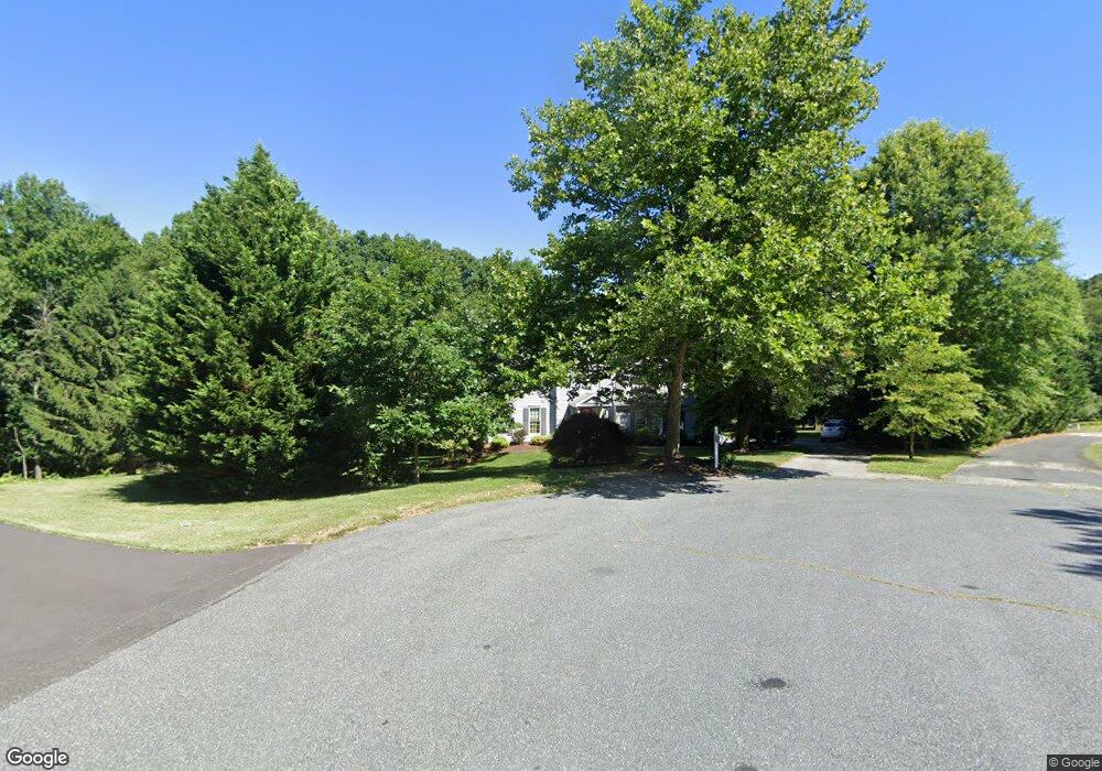
28 Andrews Ct Parkton, MD 21120
Estimated Value: $604,000 - $769,000
--
Bed
3
Baths
2,526
Sq Ft
$270/Sq Ft
Est. Value
About This Home
This home is located at 28 Andrews Ct, Parkton, MD 21120 and is currently estimated at $680,981, approximately $269 per square foot. 28 Andrews Ct is a home located in Baltimore County with nearby schools including Seventh District Elementary School, Hereford Middle School, and Hereford High School.
Ownership History
Date
Name
Owned For
Owner Type
Purchase Details
Closed on
Oct 10, 2023
Sold by
Kujawa Brent R
Bought by
Kujawa Brent R and Kujawa Shawnnette L
Current Estimated Value
Purchase Details
Closed on
Sep 10, 2002
Sold by
Divenanzio Michael I
Bought by
Kujawa Brent R
Purchase Details
Closed on
Jun 8, 1993
Sold by
Divenanzio Michael I
Bought by
Divenanzio Michael I
Purchase Details
Closed on
Sep 11, 1992
Sold by
Shamrock Building And
Bought by
Divenanzio Michael I
Create a Home Valuation Report for This Property
The Home Valuation Report is an in-depth analysis detailing your home's value as well as a comparison with similar homes in the area
Home Values in the Area
Average Home Value in this Area
Purchase History
| Date | Buyer | Sale Price | Title Company |
|---|---|---|---|
| Kujawa Brent R | -- | None Listed On Document | |
| Kujawa Brent R | -- | None Listed On Document | |
| Kujawa Brent R | $348,000 | -- | |
| Divenanzio Michael I | -- | -- | |
| Divenanzio Michael I | $224,900 | -- |
Source: Public Records
Tax History Compared to Growth
Tax History
| Year | Tax Paid | Tax Assessment Tax Assessment Total Assessment is a certain percentage of the fair market value that is determined by local assessors to be the total taxable value of land and additions on the property. | Land | Improvement |
|---|---|---|---|---|
| 2025 | $5,589 | $474,300 | $148,700 | $325,600 |
| 2024 | $5,589 | $458,233 | $0 | $0 |
| 2023 | $2,710 | $442,167 | $0 | $0 |
| 2022 | $5,177 | $426,100 | $138,500 | $287,600 |
| 2021 | $5,064 | $419,467 | $0 | $0 |
| 2020 | $5,064 | $412,833 | $0 | $0 |
| 2019 | $4,983 | $406,200 | $138,500 | $267,700 |
| 2018 | $4,881 | $397,733 | $0 | $0 |
| 2017 | $4,735 | $389,267 | $0 | $0 |
| 2016 | $4,727 | $380,800 | $0 | $0 |
| 2015 | $4,727 | $380,800 | $0 | $0 |
| 2014 | $4,727 | $380,800 | $0 | $0 |
Source: Public Records
Map
Nearby Homes
- 7 Applewood Ct
- 19902 Mikes Way
- 211 Kali Ct
- 20814 York Rd
- 21015 York Rd
- Hamilton York Rd
- 19902 Bentley Ridge Ct
- MARGATE York Rd
- 21043 York Rd
- 20633 Mount Zion Rd
- 0 Eagle Mill Rd
- 21521 York Rd
- 21525 York Rd
- 606 Freeland Rd
- 19110 Timothys Manor Ct
- 1507 Freeland Rd
- St. Clement Plan at Oak Grove Farm
- Brookdale Plan at Oak Grove Farm
- Sonoma Plan at Oak Grove Farm
- Pine Ridge Plan at Oak Grove Farm