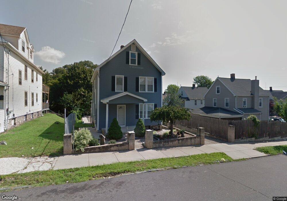
28 Anson St Bridgeport, CT 06606
Brooklawn-Saint Vincent NeighborhoodEstimated Value: $280,000 - $484,000
6
Beds
2
Baths
2,097
Sq Ft
$178/Sq Ft
Est. Value
About This Home
This home is located at 28 Anson St, Bridgeport, CT 06606 and is currently estimated at $372,930, approximately $177 per square foot. 28 Anson St is a home located in Fairfield County with nearby schools including Read School, Central High School, and Catholic Academy of Bridgeport-St. Raphael Academy.
Ownership History
Date
Name
Owned For
Owner Type
Purchase Details
Closed on
Aug 27, 1999
Sold by
Murray Michael V
Bought by
Paiva Carlos
Current Estimated Value
Home Financials for this Owner
Home Financials are based on the most recent Mortgage that was taken out on this home.
Original Mortgage
$75,200
Interest Rate
7.53%
Create a Home Valuation Report for This Property
The Home Valuation Report is an in-depth analysis detailing your home's value as well as a comparison with similar homes in the area
Home Values in the Area
Average Home Value in this Area
Purchase History
| Date | Buyer | Sale Price | Title Company |
|---|---|---|---|
| Paiva Carlos | $94,000 | -- | |
| Paiva Carlos | $94,000 | -- |
Source: Public Records
Mortgage History
| Date | Status | Borrower | Loan Amount |
|---|---|---|---|
| Closed | Paiva Carlos | $70,000 | |
| Closed | Paiva Carlos | $75,200 | |
| Previous Owner | Paiva Carlos | $12,000 |
Source: Public Records
Tax History Compared to Growth
Tax History
| Year | Tax Paid | Tax Assessment Tax Assessment Total Assessment is a certain percentage of the fair market value that is determined by local assessors to be the total taxable value of land and additions on the property. | Land | Improvement |
|---|---|---|---|---|
| 2025 | $5,187 | $119,390 | $70,820 | $48,570 |
| 2024 | $5,187 | $119,390 | $70,820 | $48,570 |
| 2023 | $5,187 | $119,390 | $70,820 | $48,570 |
| 2022 | $5,187 | $119,390 | $70,820 | $48,570 |
| 2021 | $5,187 | $119,390 | $70,820 | $48,570 |
| 2020 | $5,891 | $109,110 | $47,680 | $61,430 |
| 2019 | $5,891 | $109,110 | $47,680 | $61,430 |
| 2018 | $5,932 | $109,110 | $47,680 | $61,430 |
| 2017 | $5,932 | $109,110 | $47,680 | $61,430 |
| 2016 | $5,932 | $109,110 | $47,680 | $61,430 |
| 2015 | $5,892 | $139,610 | $48,080 | $91,530 |
| 2014 | $5,892 | $139,610 | $48,080 | $91,530 |
Source: Public Records
Map
Nearby Homes
- 330 French St
- 2395 Main St Unit 2397
- 936 Lindley St
- 724 Capitol Ave Unit 726
- 25 Manhattan Ave Unit 27
- 508 Hawley Ave
- 119 Madison Terrace
- 390 Charles St Unit 106
- 106 Manhattan Ave Unit 108
- 123 Harlem Ave
- 76 Porter St
- 926 Hart St
- 916 Hart St
- 203 Wayne St
- 90 Tom Thumb St
- 252 Harlem Ave Unit B6
- 252 Harlem Ave Unit B5
- 78 Fairmount Ave
- 39 Infield St
- 178 Island Brook Ave
- 34 Anson St
- 372 French St
- 366 French St
- 354 French St
- 95 Salem St
- 50 Anson St
- 33 Anson St
- 352 French St Unit 354
- 394 French St Unit 396
- 342 French St Unit 344
- 37 Gurdon St
- 19 Gurdon St Unit 21
- 45 Gurdon St
- 51 Anson St
- 51 Anson St Unit 2
- 41 Anson St
- 404 French St
- 402 French St Unit 406
- 55 Gurdon St
- 359 French St Unit 361