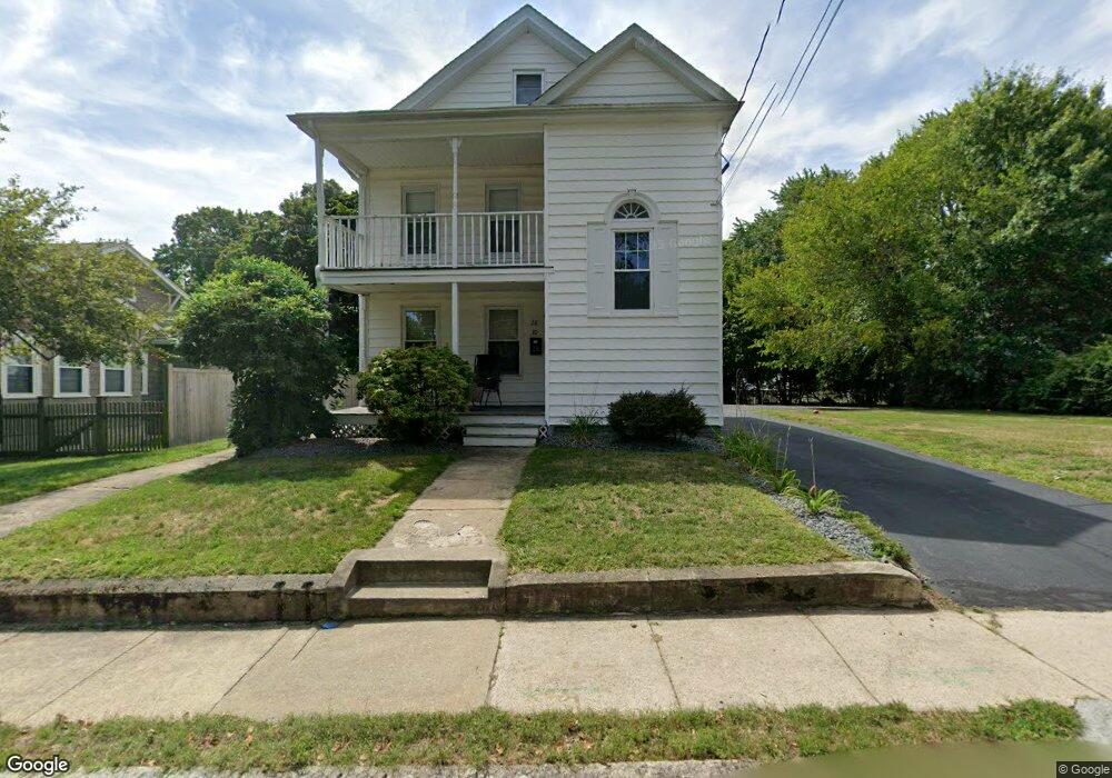
28 Ash St Unit 2 North Attleboro, MA 02760
North Attleboro NeighborhoodEstimated Value: $541,518 - $664,000
3
Beds
1
Bath
1,100
Sq Ft
$545/Sq Ft
Est. Value
About This Home
This home is located at 28 Ash St Unit 2, North Attleboro, MA 02760 and is currently estimated at $599,630, approximately $545 per square foot. 28 Ash St Unit 2 is a home located in Bristol County with nearby schools including North Attleboro High School, Cadence Academy Preschool - North Attleborough, and Bishop Feehan High School.
Ownership History
Date
Name
Owned For
Owner Type
Purchase Details
Closed on
Jun 30, 2003
Sold by
Topping Daniel F and Topping Elaine C
Bought by
Iannino Michael S
Current Estimated Value
Home Financials for this Owner
Home Financials are based on the most recent Mortgage that was taken out on this home.
Original Mortgage
$285,500
Outstanding Balance
$123,847
Interest Rate
5.53%
Mortgage Type
Purchase Money Mortgage
Estimated Equity
$475,783
Create a Home Valuation Report for This Property
The Home Valuation Report is an in-depth analysis detailing your home's value as well as a comparison with similar homes in the area
Home Values in the Area
Average Home Value in this Area
Purchase History
| Date | Buyer | Sale Price | Title Company |
|---|---|---|---|
| Iannino Michael S | $325,500 | -- |
Source: Public Records
Mortgage History
| Date | Status | Borrower | Loan Amount |
|---|---|---|---|
| Open | Iannino Michael S | $285,500 |
Source: Public Records
Tax History Compared to Growth
Tax History
| Year | Tax Paid | Tax Assessment Tax Assessment Total Assessment is a certain percentage of the fair market value that is determined by local assessors to be the total taxable value of land and additions on the property. | Land | Improvement |
|---|---|---|---|---|
| 2025 | $5,311 | $450,500 | $145,000 | $305,500 |
| 2024 | $5,101 | $442,000 | $145,000 | $297,000 |
| 2023 | $4,991 | $390,200 | $151,300 | $238,900 |
| 2022 | $5,189 | $372,500 | $145,000 | $227,500 |
| 2021 | $5,077 | $355,800 | $145,000 | $210,800 |
| 2020 | $4,601 | $320,600 | $145,000 | $175,600 |
| 2019 | $4,377 | $307,400 | $131,800 | $175,600 |
| 2018 | $3,631 | $272,200 | $131,800 | $140,400 |
| 2017 | $3,598 | $272,200 | $131,800 | $140,400 |
| 2016 | $3,366 | $254,600 | $152,800 | $101,800 |
| 2015 | $3,430 | $261,000 | $159,200 | $101,800 |
| 2014 | $3,313 | $250,200 | $139,700 | $110,500 |
Source: Public Records
Map
Nearby Homes
- 80 Broadway Unit 9
- 50 Metcalf Rd
- 137 Sumner St
- 300 E Washington St Unit 54R
- 93 Bank St
- 130 E Washington St Unit 57
- 130 E Washington St Unit 71
- 130 E Washington St Unit 36
- 130 E Washington St Unit 9
- 160 Crescent Ave
- 16 Richards Ave Unit 106
- 40 Roosevelt Ave
- 12 Roosevelt Ave
- 16 Johnson St
- 19 Church St Unit C9
- 27 Taylor St
- 46 Westside Ave
- 0 Anawan Rd
- 30 Sperry Ln Unit Lot 15
- 121 E Washington St Unit 8