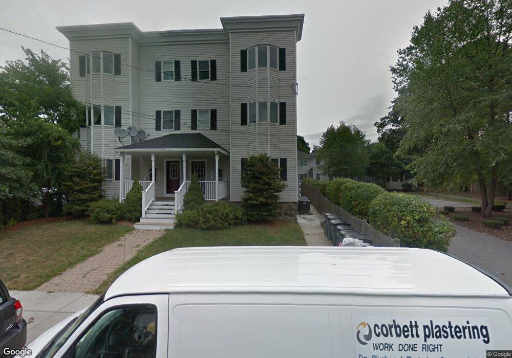
28 Beach St Unit 2 Dorchester, MA 02122
Fields Corner East NeighborhoodEstimated Value: $496,000 - $573,364
2
Beds
2
Baths
1,100
Sq Ft
$483/Sq Ft
Est. Value
About This Home
This home is located at 28 Beach St Unit 2, Dorchester, MA 02122 and is currently estimated at $531,591, approximately $483 per square foot. 28 Beach St Unit 2 is a home located in Suffolk County with nearby schools including Neighborhood House Charter School and Helen Y. Davis Leadership Academy Charter Public School.
Ownership History
Date
Name
Owned For
Owner Type
Purchase Details
Closed on
Aug 28, 2007
Sold by
26-28 Beach St Lp
Bought by
Ballah Konique
Current Estimated Value
Home Financials for this Owner
Home Financials are based on the most recent Mortgage that was taken out on this home.
Original Mortgage
$215,000
Outstanding Balance
$137,581
Interest Rate
6.78%
Mortgage Type
Purchase Money Mortgage
Estimated Equity
$394,010
Create a Home Valuation Report for This Property
The Home Valuation Report is an in-depth analysis detailing your home's value as well as a comparison with similar homes in the area
Home Values in the Area
Average Home Value in this Area
Purchase History
| Date | Buyer | Sale Price | Title Company |
|---|---|---|---|
| Ballah Konique | $268,750 | -- |
Source: Public Records
Mortgage History
| Date | Status | Borrower | Loan Amount |
|---|---|---|---|
| Open | Ballah Konique | $215,000 |
Source: Public Records
Tax History Compared to Growth
Tax History
| Year | Tax Paid | Tax Assessment Tax Assessment Total Assessment is a certain percentage of the fair market value that is determined by local assessors to be the total taxable value of land and additions on the property. | Land | Improvement |
|---|---|---|---|---|
| 2025 | $5,660 | $488,800 | $0 | $488,800 |
| 2024 | $5,138 | $471,400 | $0 | $471,400 |
| 2023 | $4,915 | $457,600 | $0 | $457,600 |
| 2022 | $4,696 | $431,600 | $0 | $431,600 |
| 2021 | $4,472 | $419,100 | $0 | $419,100 |
| 2020 | $3,952 | $374,200 | $0 | $374,200 |
| 2019 | $3,720 | $352,900 | $0 | $352,900 |
| 2018 | $3,425 | $326,800 | $0 | $326,800 |
| 2017 | $3,176 | $299,900 | $0 | $299,900 |
| 2016 | $3,083 | $280,300 | $0 | $280,300 |
| 2015 | $2,905 | $239,900 | $0 | $239,900 |
| 2014 | $2,769 | $220,100 | $0 | $220,100 |
Source: Public Records
Map
Nearby Homes
- 32 Beach St Unit 1
- 9 Park St Unit 8
- 15 Duncan St
- 40 Linden St Unit C
- 18 Lyon St Unit 2
- 32 Gibson St Unit 3
- 382 Adams St Unit 384-1
- 43 Robinson St Unit 3
- 381 Adams St Unit 2
- 381 Adams St Unit 1
- 381 Adams St Unit 3
- 20 Parkman St Unit 2
- 34 Houghton St
- 6 Agawam St
- 7 Fox St Unit 1
- 69 Mount Ida Rd Unit 1
- 20 Leslie St
- 34 Dix St Unit 3
- 175 Savin Hill Ave Unit 3
- 60 Houghton St Unit 62
- 28 Beach St Unit 3
- 28 Beach St Unit 1
- 26 Beach St Unit 3
- 26 Beach St Unit 2
- 26 Beach St Unit 1
- 26 Beach St Unit 2
- 26 Beach St Unit 3
- 26 Beach St Unit 1
- 32 Beach St Unit 3
- 32 Beach St Unit 2
- 34 Beach St Unit 36
- 30 Beach St Unit 1
- 30 Beach St Unit 3
- 30 Beach St Unit 2
- 30 Beach St Unit 1
- 49 Beach St
- 47 Beach St
- 47 Beach St
- 47 Beach St Unit 2
- 38 Beach St Unit 40