28 Beachside Dr Isle of Palms, SC 29451
Estimated Value: $1,420,000 - $1,860,000
3
Beds
2
Baths
1,316
Sq Ft
$1,300/Sq Ft
Est. Value
About This Home
This home is located at 28 Beachside Dr, Isle of Palms, SC 29451 and is currently estimated at $1,711,147, approximately $1,300 per square foot. 28 Beachside Dr is a home located in Charleston County with nearby schools including Sullivans Island Elementary School, Moultrie Middle School, and Wando High School.
Ownership History
Date
Name
Owned For
Owner Type
Purchase Details
Closed on
Mar 14, 2024
Sold by
Penwood Beach Llc
Bought by
Sullivan Patrick J and Sullivan Kathleen C
Current Estimated Value
Purchase Details
Closed on
Apr 16, 2015
Sold by
Sherwood Gordon N and Sherwood Sylvia M
Bought by
Penwood Beach Llc
Purchase Details
Closed on
May 16, 2006
Sold by
Sherwood Gordon N and Sherwood Sylvia M
Bought by
Sherwood Gordon N and Sherwood Sylvia M
Create a Home Valuation Report for This Property
The Home Valuation Report is an in-depth analysis detailing your home's value as well as a comparison with similar homes in the area
Home Values in the Area
Average Home Value in this Area
Purchase History
| Date | Buyer | Sale Price | Title Company |
|---|---|---|---|
| Sullivan Patrick J | -- | South Carolina Title | |
| Sullivan Patrick J | -- | South Carolina Title | |
| Penwood Beach Llc | $610,000 | -- | |
| Sherwood Gordon N | -- | None Available |
Source: Public Records
Tax History Compared to Growth
Tax History
| Year | Tax Paid | Tax Assessment Tax Assessment Total Assessment is a certain percentage of the fair market value that is determined by local assessors to be the total taxable value of land and additions on the property. | Land | Improvement |
|---|---|---|---|---|
| 2024 | $11,100 | $43,120 | $0 | $0 |
| 2023 | $10,043 | $43,120 | $0 | $0 |
| 2022 | $9,445 | $43,120 | $0 | $0 |
| 2021 | $9,338 | $43,120 | $0 | $0 |
| 2020 | $9,212 | $43,120 | $0 | $0 |
| 2019 | $8,454 | $37,500 | $0 | $0 |
| 2017 | $8,073 | $37,500 | $0 | $0 |
| 2016 | $7,569 | $36,600 | $0 | $0 |
| 2015 | $2,061 | $25,000 | $0 | $0 |
| 2014 | -- | $0 | $0 | $0 |
| 2011 | -- | $0 | $0 | $0 |
Source: Public Records
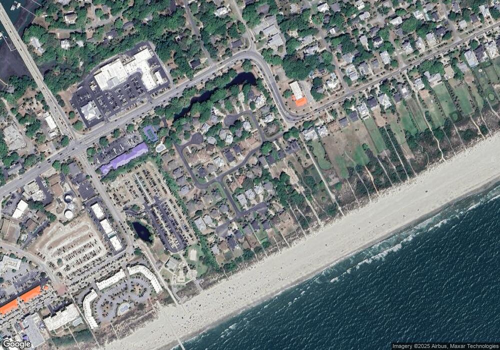
Map
Nearby Homes
- 11 Ocean Park Ct
- 6 Ocean Park Ct
- 2201 Palm Blvd
- 1400 Ocean Blvd Unit 308 B
- 1300 Ocean Blvd Unit 241
- 1300 Ocean Blvd Unit 114
- 1300 Ocean Blvd Unit 145
- 1300 Ocean Blvd Unit 240
- 16 22nd Ave
- 23 22nd Ave
- 2306 Hartnett Blvd
- 1140 Ocean Blvd Unit 308
- 1203/Lot 2 Oak Harbor Blvd
- 2407 Cameron Blvd
- 2407 Cameron Blvd Unit A & B
- 23 24th Ave
- 1004 Ocean Blvd Unit 108
- 1103 Palm Blvd
- 23 26th Ave
- 2404 Waterway Blvd
- 26 Beachside Dr
- 15 Sand Dune Ln
- 2000 Palm Blvd
- 2000 Palm Blvd Unit 1/13 Share- Interval
- 2000 Palm Blvd Unit XI
- 2000 Palm Blvd Unit (1/13th)
- 24 Beachside Dr
- 16 Sand Dune Ln
- 14 Sand Dune Ln
- 29 Beachside Dr
- 27 Beachside Dr
- 2002 Palm Blvd
- 17 Sand Dune Ln
- 25 Beachside Dr
- 15 Ocean Park Ct
- 2004 Palm Blvd
- 22 Beachside Dr
- 23 Beachside Dr
- 12 Ocean Park Ct
- 0 Sand Dune Ln